MyTopo
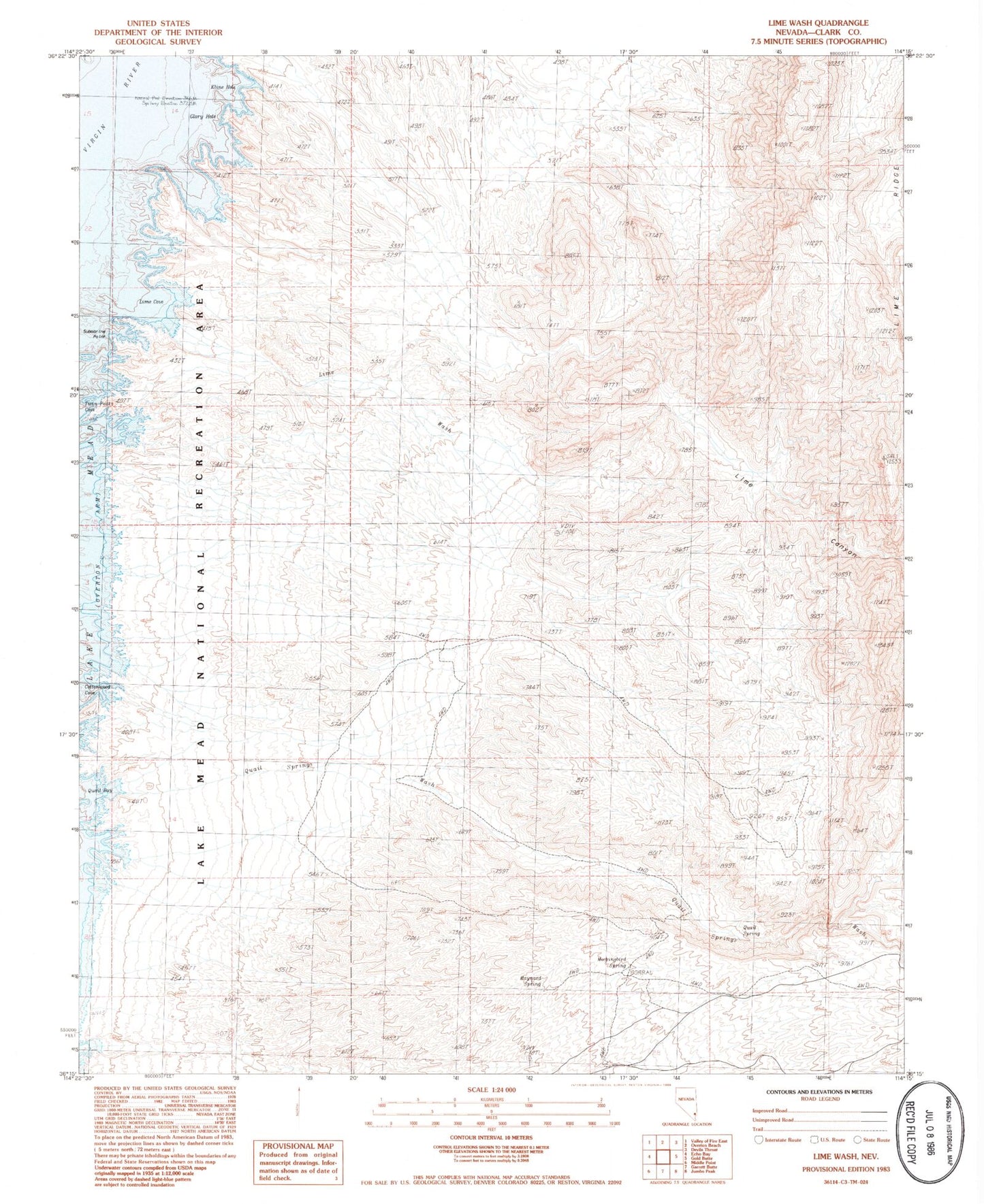
Classic USGS Lime Wash Nevada 7.5'x7.5' Topo Map
Regular price
$16.95
Regular price
Sale price
$16.95
Unit price
per
Couldn't load pickup availability
Historical USGS topographic quad map of Lime Wash in the state of Nevada. Map scale may vary for some years, but is generally around 1:24,000. Print size is approximately 24" x 27"
This quadrangle is in the following counties: Clark.
The map contains contour lines, roads, rivers, towns, and lakes. Printed on high-quality waterproof paper with UV fade-resistant inks, and shipped rolled.
Contains the following named places: Cottonwood Cove, Glory Hole, Kline Hole, Lime Canyon, Lime Canyon Wilderness, Lime Cove, Lime Ridge, Lime Wash, Maynard Spring, Mockingbird Spring, Preachers Cove, Quail Bay, Quail Spring, Quail Springs Wash, Submarine Point, Twin Peaks Cove, Weasel Hole, Whale Rock