MyTopo
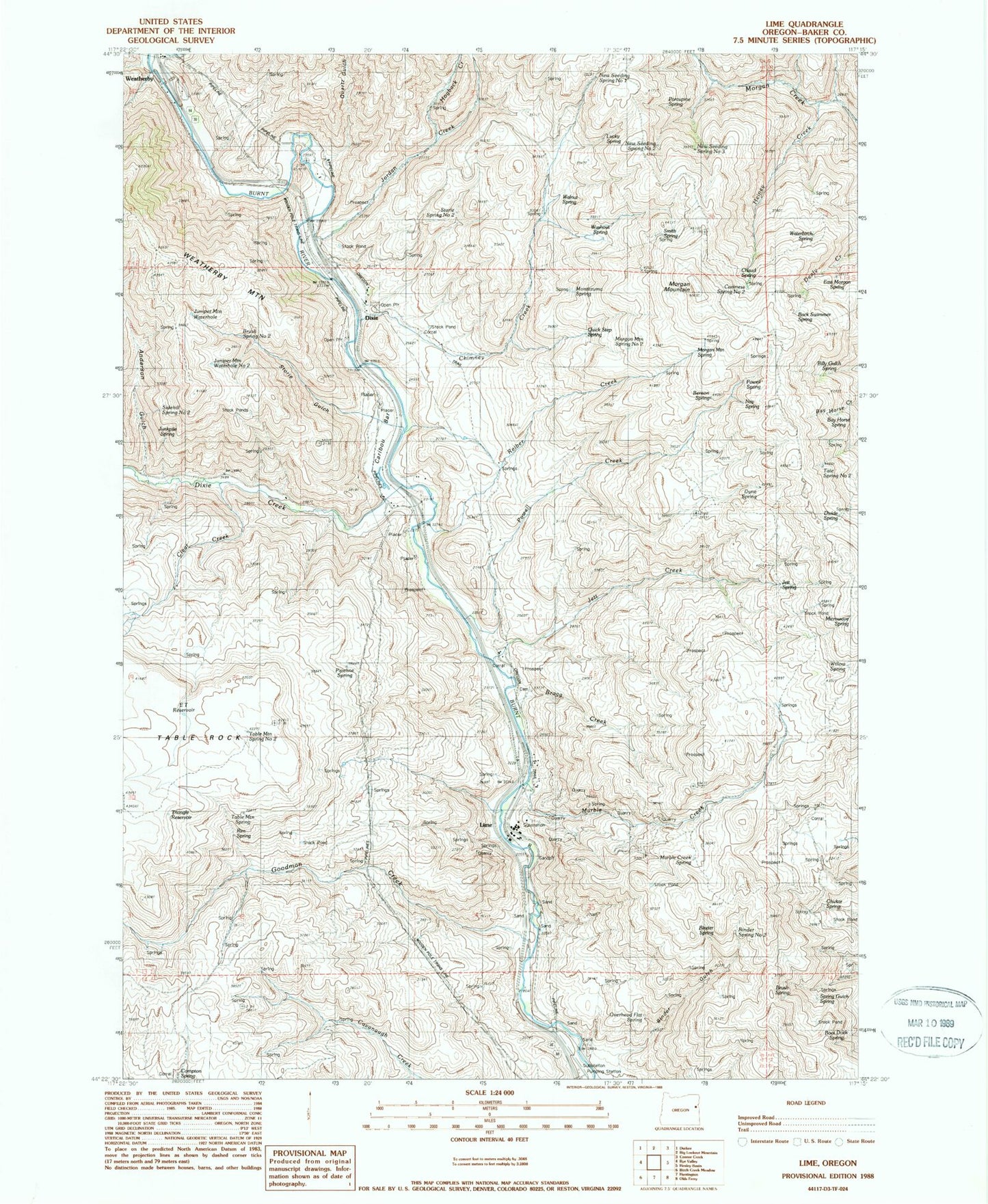
Classic USGS Lime Oregon 7.5'x7.5' Topo Map
Couldn't load pickup availability
Historical USGS topographic quad map of Lime in the state of Oregon. Map scale may vary for some years, but is generally around 1:24,000. Print size is approximately 24" x 27"
This quadrangle is in the following counties: Baker.
The map contains contour lines, roads, rivers, towns, and lakes. Printed on high-quality waterproof paper with UV fade-resistant inks, and shipped rolled.
Contains the following named places: Anderson Gulch, Arrastra Gulch, Back Swimmer Spring, Bay Horse Spring, Benson Spring, Billy Gulch Spring, Binder Gulch, Binder Spring, Binder Spring Number Two, Boat Dock Spring, Bragg Creek, Brush Spring, Brush Spring Number Two, Caribou Bar, Caviness Spring Number Two, Chaud Spring, Chimney Creek, Chukar Spring, Clear Creek, Divide Spring, Dixie, Dixie Creek, Dixie Post Office, Dyne Spring, E T Reservoir, East Morgan Spring, Goodman Creek, Heiney Creek, Hogback Creek, Jett, Jett Creek, Jett Post Office, Jett Spring, Jordan Creek, Juniper Mountain Waterhole, Juniper Mountain Waterhole Number Two, Junkpile Spring, Lime, Lime - Dixie Cemetery, Lime Post Office, Lucky Spring, Marble Creek, Marble Creek Spring, Microwave Spring, Montezuma Spring, Morgan Mountain, Morgan Mountain Spring, Morgan Mountain Spring Number Two, Nay Spring, New Seeding Spring Number One, New Seeding Spring Number Three, New Seeding Spring Number Two, Overhead Flat Spring, Pipeline Spring, Pole Gulch, Porcupine Spring, Powell Creek, Powell Spring, Quartz Gulch, Quick Step Spring, Reiber Creek, Rim Spring, Sidehill Spring Number Two, Sisley Creek, Smith Spring, Spring Gulch, Spring Gulch Spring, Storie Gulch, Storie Spring Number Two, Table Mountain Spring, Table Mountain Spring Number Two, Tate Spring Number Two, Triangle Reservoir, Walnut Spring, Washout Spring, Waterbirch Spring, Watering Trough Draw, Weatherby, Weatherby Post Office, Weatherby Safety Rest Area, Willow Spring, Y Reservoir, ZIP Code: 97907


