MyTopo
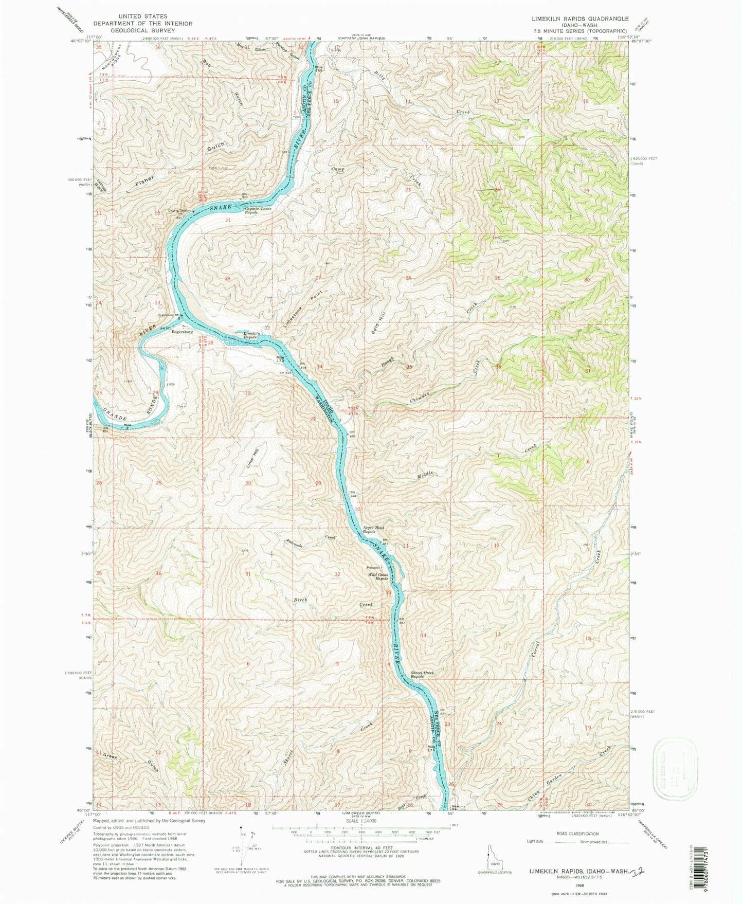
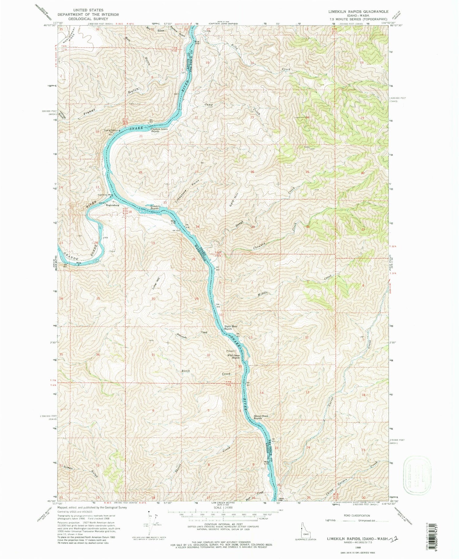
Classic USGS Limekiln Rapids Idaho 7.5'x7.5' Topo Map
Couldn't load pickup availability
Historical USGS topographic quad map of Limekiln Rapids in the states of Idaho, Washington. Map scale may vary for some years, but is generally around 1:24,000. Print size is approximately 24" x 27"
This quadrangle is in the following counties: Asotin, Nez Perce.
The map contains contour lines, roads, rivers, towns, and lakes. Printed on high-quality waterproof paper with UV fade-resistant inks, and shipped rolled.
Contains the following named places: Anaconda Creek, Bear Bar, Bear Creek, Billy Creek, Birch Creek, Bob Gulch, Box Gulch, Camp Creek, Captain Lewis Rapids, Chimney Creek, Corral Creek, Craig Mountain Wildlife Management Area, Dough Creek, Fisher Gulch, Gold Hill, Grande Ronde River, Lathrop Gulch, Lime Hill, Limekiln Rapids, Limestone Point, Middle Creek, Negro Head Rapids, Perkins Gulch, Rogersburg, Rogersburg Airport, Shovel Creek, Shovel Creek Rapids, Wild Goose Rapids, Zindel


