
MyTopo
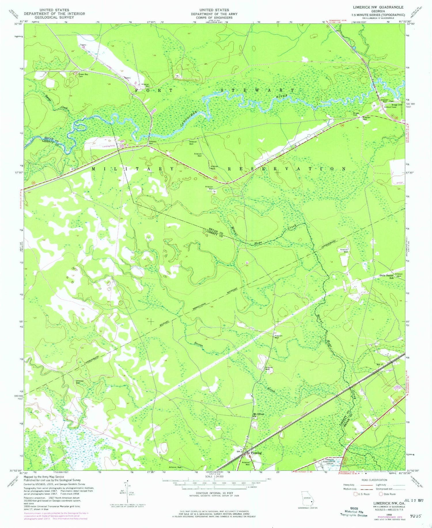
Classic USGS Limerick NW Georgia 7.5'x7.5' Topo Map
Couldn't load pickup availability
Historical USGS topographic quad map of Limerick NW in the state of Georgia. Map scale may vary for some years, but is generally around 1:24,000. Print size is approximately 24" x 27"
This quadrangle is in the following counties: Bryan, Liberty.
The map contains contour lines, roads, rivers, towns, and lakes. Printed on high-quality waterproof paper with UV fade-resistant inks, and shipped rolled.
Contains the following named places: Bragg Cemetery, Briggs Cemetery, Church of Christ, Dixie Daniel School, Driggers Cemetery, Fleming, Fleming Fire / Rescue Volunteer Department, Fleming Post Office, Green Bay Cemetery, Mount Olivet Church, Raccoon Branch, Savage Creek, Tidewater Experimental Station, Trinity Baptist Church, ZIP Code: 31309


