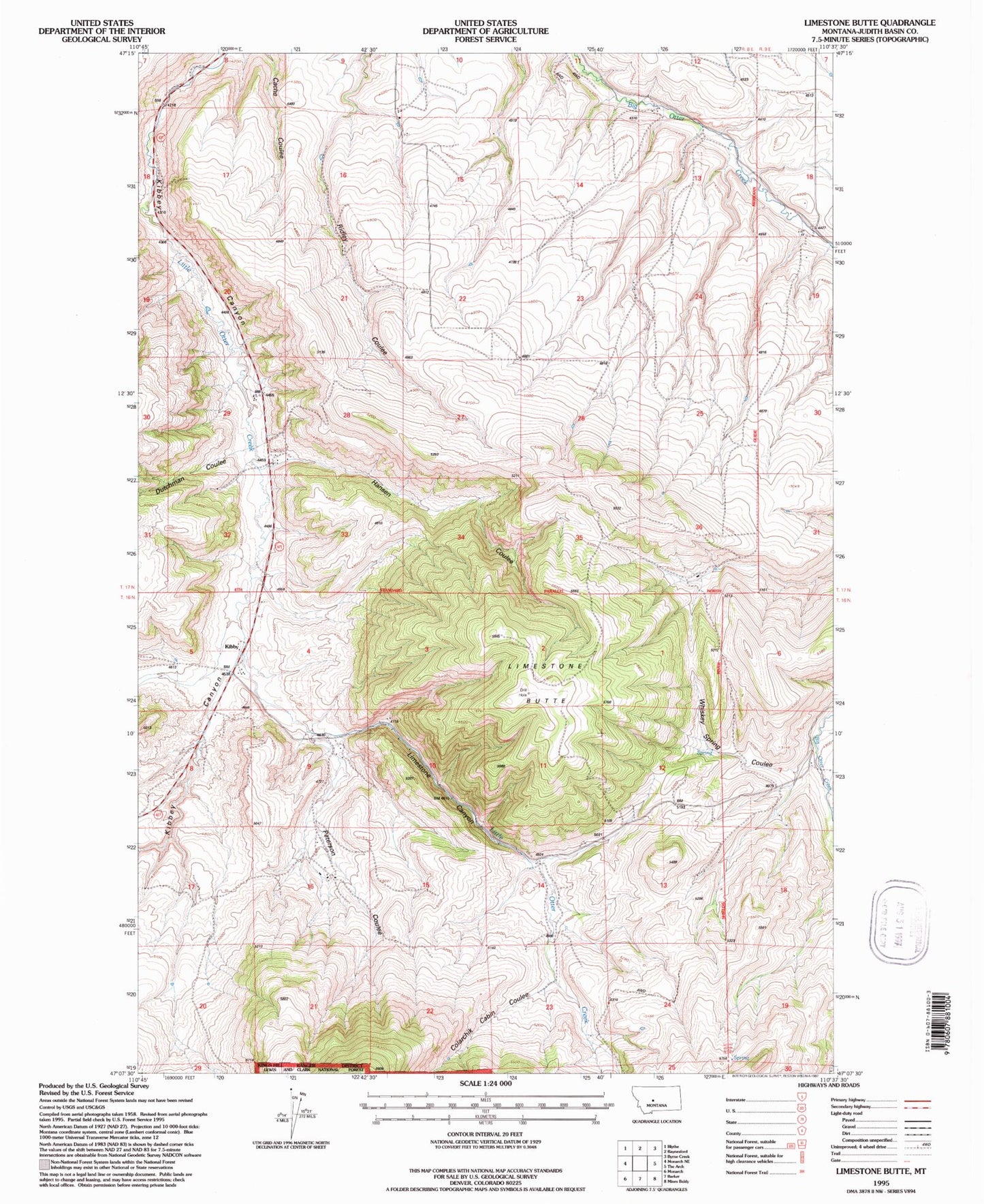
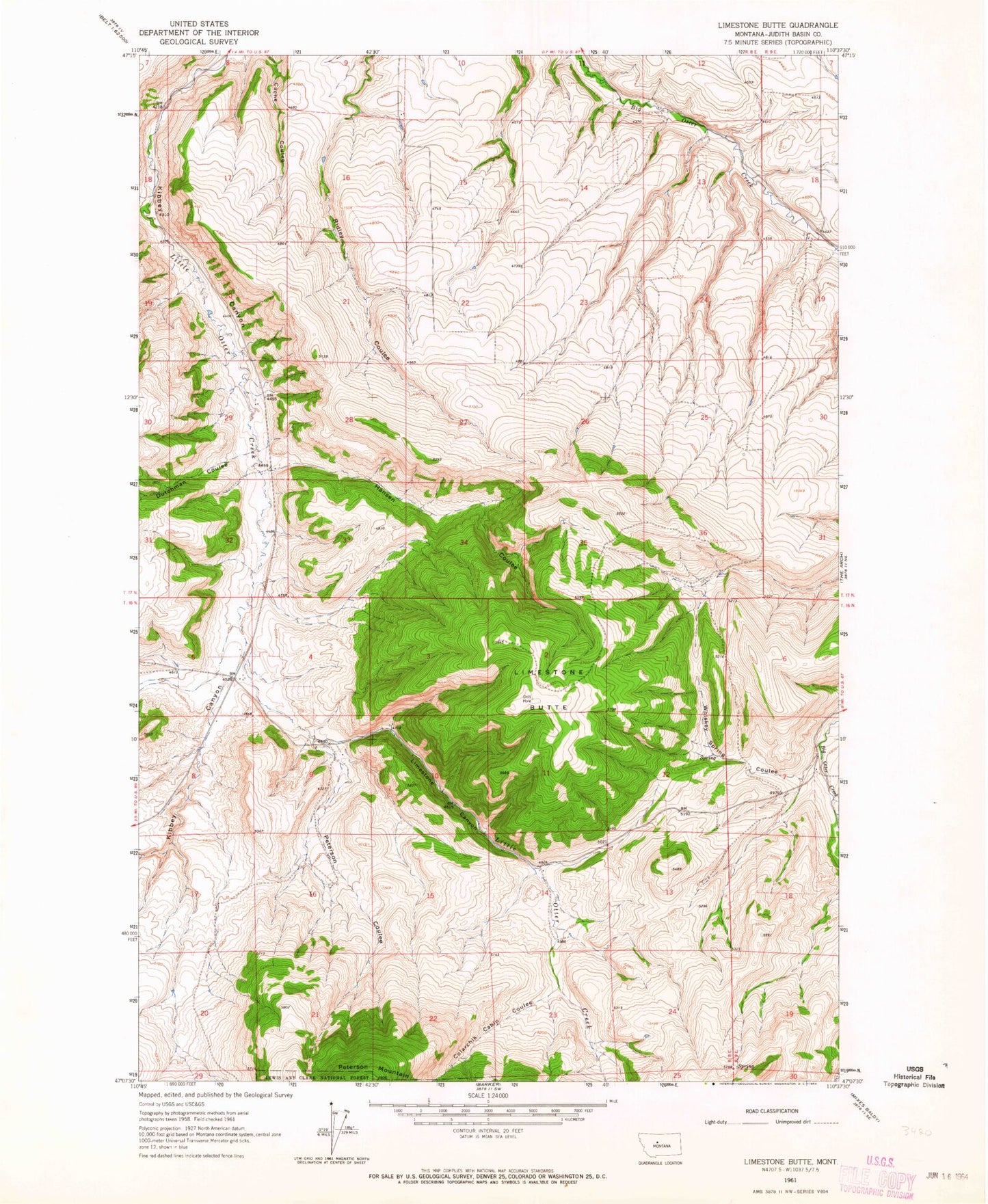
MyTopo
Classic USGS Limestone Butte Montana 7.5'x7.5' Topo Map
Regular price
$16.95
Regular price
Sale price
$16.95
Unit price
per
Couldn't load pickup availability
Historical USGS topographic quad map of Limestone Butte in the state of Montana. Map scale may vary for some years, but is generally around 1:24,000. Print size is approximately 24" x 27"
This quadrangle is in the following counties: Judith Basin.
The map contains contour lines, roads, rivers, towns, and lakes. Printed on high-quality waterproof paper with UV fade-resistant inks, and shipped rolled.
Contains the following named places: 17N08E10CCCC01 Well, 17N08E15BBCB01 Well, 59469, Colarchik Cabin Coulee, Dutchman Coulee, Hansen Coulee, Kibbey, Kibbey Cemetery, Kibbey Post Office, Kibbey School, Kibby, Limestone Butte, Limestone Canyon, Peterson Coulee, Whiskey Spring Coulee