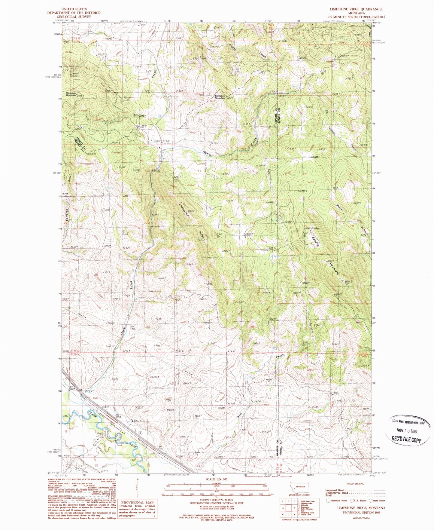
MyTopo
Classic USGS Limestone Ridge Montana 7.5'x7.5' Topo Map
Regular price
$16.95
Regular price
Sale price
$16.95
Unit price
per
Couldn't load pickup availability
Historical USGS topographic quad map of Limestone Ridge in the state of Montana. Map scale may vary for some years, but is generally around 1:24,000. Print size is approximately 24" x 27"
This quadrangle is in the following counties: Granite, Powell.
The map contains contour lines, roads, rivers, towns, and lakes. Printed on high-quality waterproof paper with UV fade-resistant inks, and shipped rolled.
Contains the following named places: 10N12W04AAAB01 Well, 10N12W04CACD01 Well, 10N12W09CADA01 Well, 10N12W09CCCD01 Well, 10N12W14BADC01 Well, 11N12W34BBCD01 Well, Campbell Mountain, Limestone Ridge, Morris Creek, Saddle Mountain, Sturgeon Mountain