MyTopo
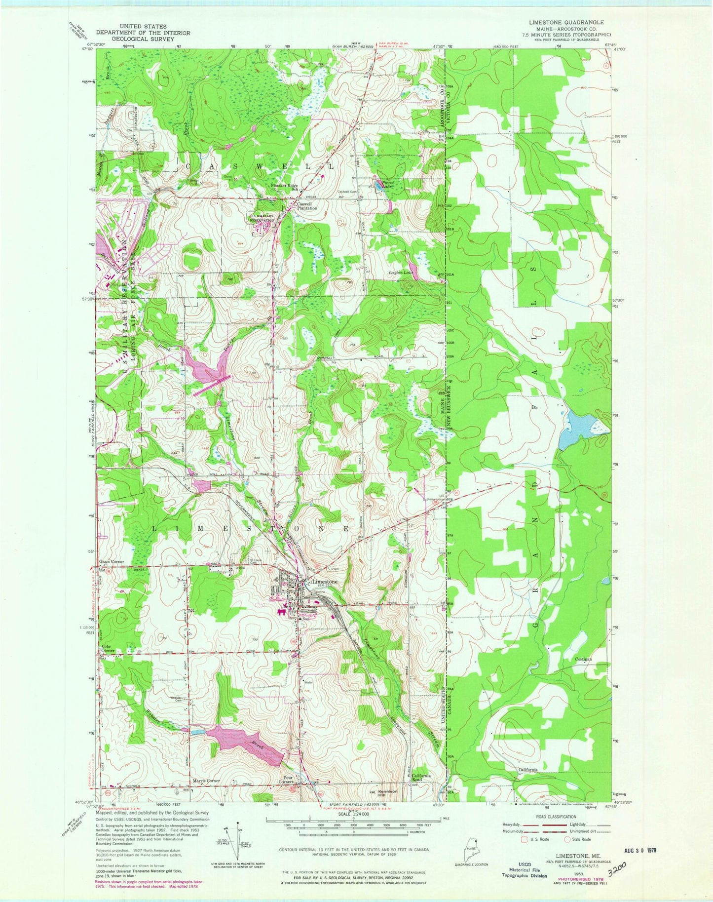
Classic USGS Limestone Maine 7.5'x7.5' Topo Map
Couldn't load pickup availability
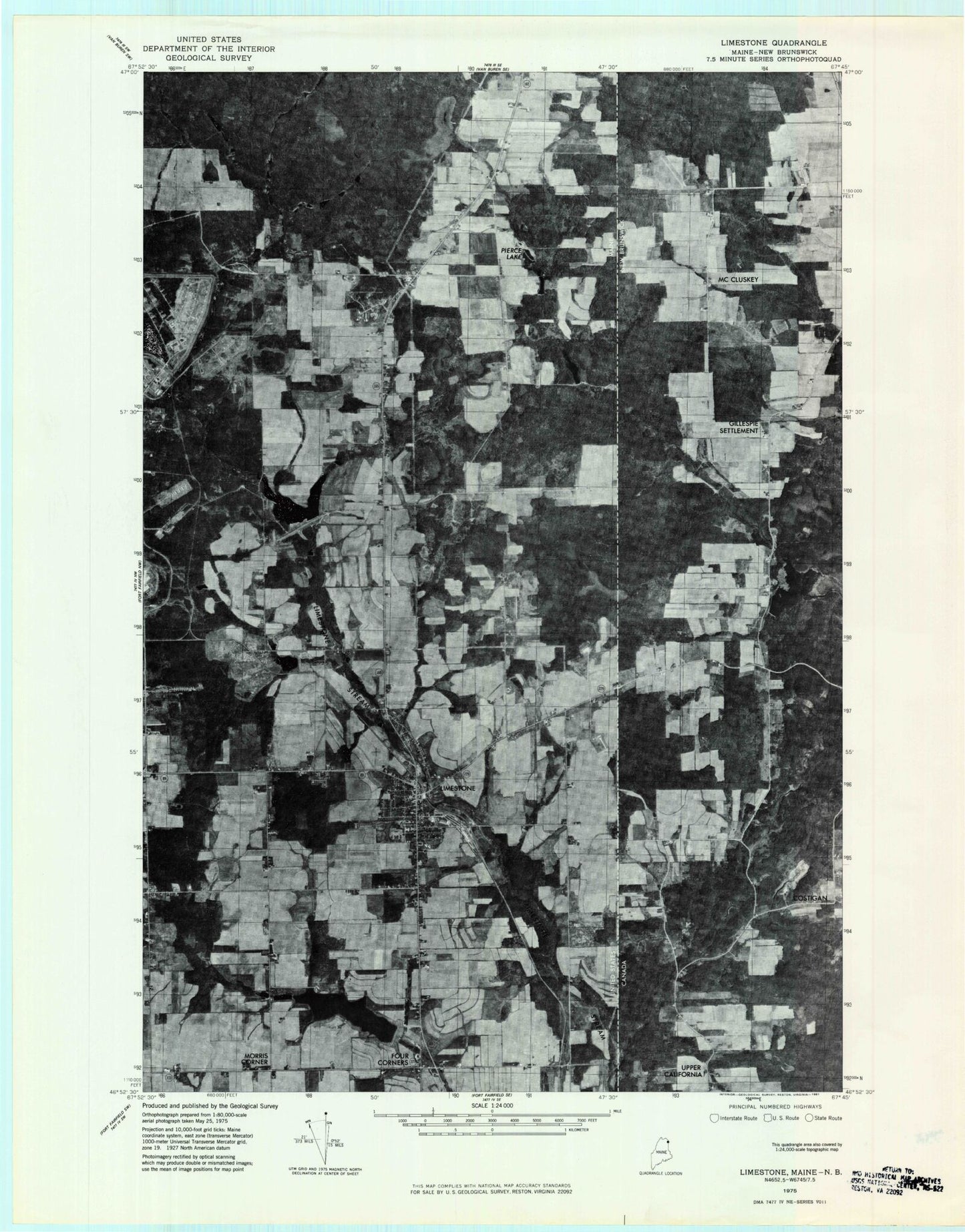
Historical USGS topographic quad map of Limestone in the state of Maine. Map scale may vary for some years, but is generally around 1:24,000. Print size is approximately 24" x 27"
This quadrangle is in the following counties: Aroostook.
The map contains contour lines, roads, rivers, towns, and lakes. Printed on high-quality waterproof paper with UV fade-resistant inks, and shipped rolled.
Contains the following named places: Aroostook Mental Health Center, Aroostook National Wildlife Refuge, Butterfield Brook, Butterfield Brook Dam, Butterfield Brook Pond, California Road, Caswell Air Force Station, Caswell Plantation, Church of the Advent, Cote Corner, Daggett Brook, Dawn F Barnes Elementary School, Durepo Brook, Durepo Brook Dam, Durepo Pond, Episcopal Advent Cemetery, Four Corners, Grass Corner, Houghton Cemetery, Howland Family Cemetery, Kearney Cemetery, Kenneson Cemetery, Kennison Hill, Layton Lake, Limestone, Limestone Census Designated Place, Limestone Community Dam, Limestone Community School, Limestone Fire and Rescue, Limestone Police Department, Limestone Pond, Limestone Post Office, Maine School of Science and Mathematics, Morris Corner, Noyes Brook Dam, Noyes Pond, Peers Cemetery, Pierce Lake, Robert A Frost Memorial Library, Saint Louis Cemetery, Silver Spring Brook, Town of Limestone, Webster Brook Dam, Webster Cemetery, Willard Brook, ZIP Code: 04750