MyTopo
Classic USGS Limestone New York 7.5'x7.5' Topo Map
Couldn't load pickup availability
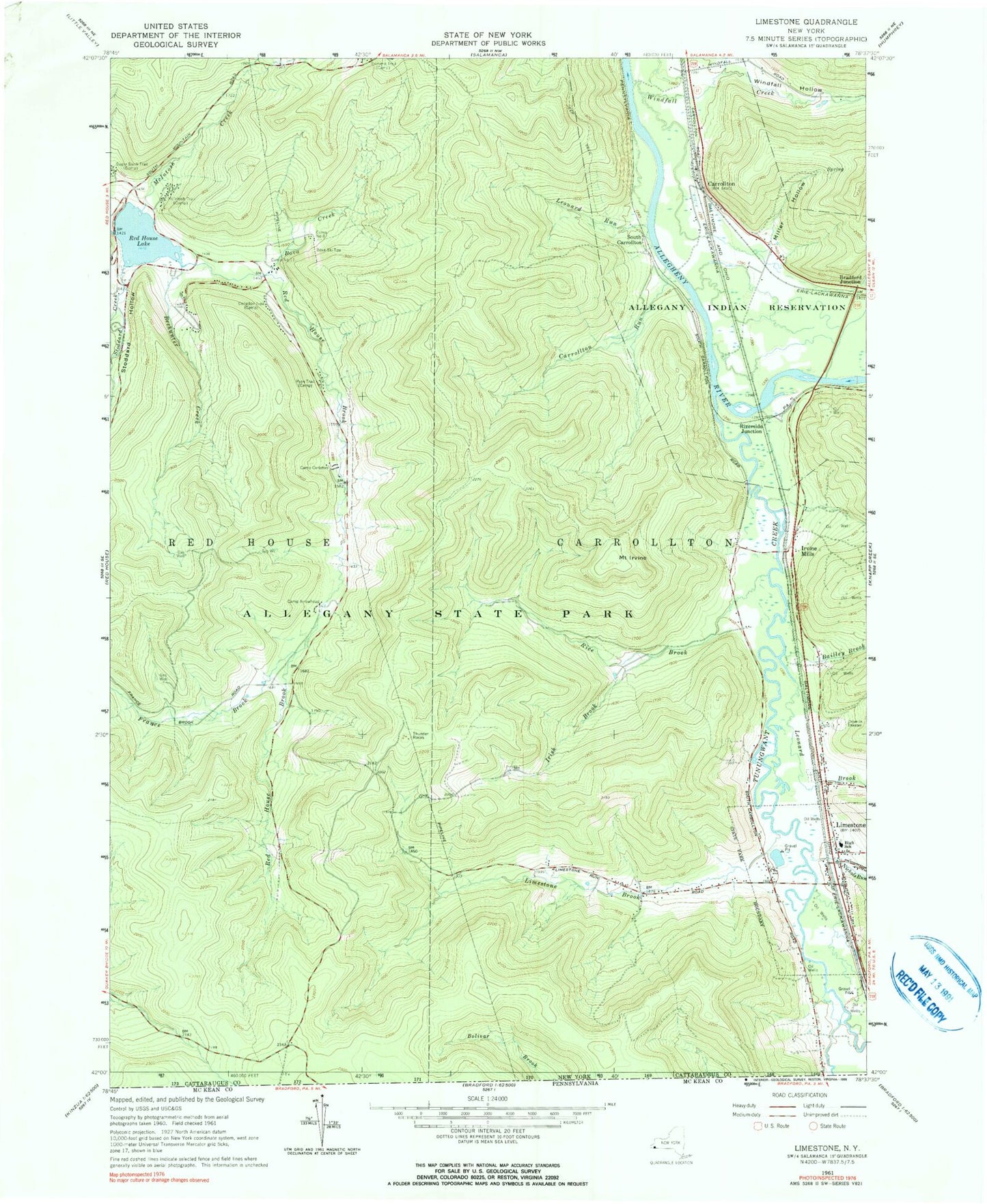
Historical USGS topographic quad map of Limestone in the state of New York. Typical map scale is 1:24,000, but may vary for certain years, if available. Print size: 24" x 27"
This quadrangle is in the following counties: Cattaraugus.
The map contains contour lines, roads, rivers, towns, and lakes. Printed on high-quality waterproof paper with UV fade-resistant inks, and shipped rolled.
Contains the following named places: Bailley Brook, Beehunter Creek, Bova Creek, Camp Arrowhead, Camp Carleton, Camp Number Eleven, Camp Number Eight, Carrollton, Carrollton Run, Congdon Trail, France Brook, Irish Brook, Irvine Mills, Mount Irvine, Leonard Brook, Leonard Run, Limestone, Limestone Brook, Lony Hollow, McIntosh Creek, McIntosh Trail, Miller Hollow, Nichols Run, Red House Lake, Rice Brook, Ryan Trail, State Line Brook, Stoddard Hollow, Sugar Bush Trail, Thunder Rocks, Tunungwant Creek, Stoddard Creek, Windfall Creek, Windfall Hollow, Bradford Junction, Riverside Junction, South Carrollton, Bova Ski Tow, Town of Carrollton, Village of Limestone (historical), Limestone Cemetery, Limestone Drive-In (historical), Limestone Elementary School, Limestone United Methodist Church, Pentecostal Tabernacle, Saint Patrick's Church, Cattaraugus Residential Center, Limestone Census Designated Place, Limestone Volunteer Fire Department Station 1, Limestone Volunteer Fire Department Station 2, Limestone Post Office