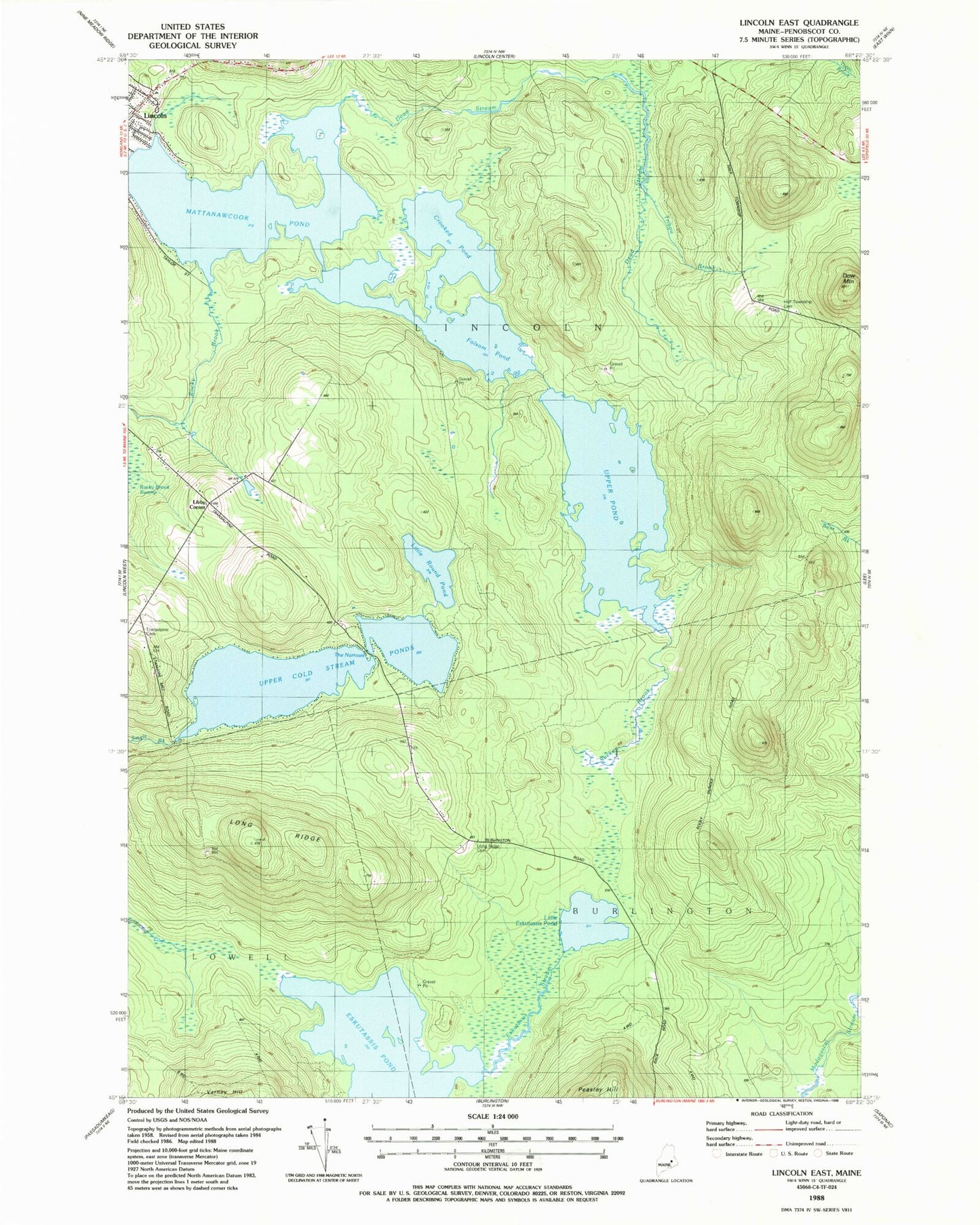
MyTopo
Classic USGS Lincoln East Maine 7.5'x7.5' Topo Map
Couldn't load pickup availability
Historical USGS topographic quad map of Lincoln East in the state of Maine. Typical map scale is 1:24,000, but may vary for certain years, if available. Print size: 24" x 27"
This quadrangle is in the following counties: Penobscot.
The map contains contour lines, roads, rivers, towns, and lakes. Printed on high-quality waterproof paper with UV fade-resistant inks, and shipped rolled.
Contains the following named places: Crooked Pond, Dead Stream, Dow Mountain, Folsom Pond, Little Eskutassis Pond, Little Round Pond, Long Ridge, Long Ridge School (historical), Mattanawcook Pond, Rocky Brook, The Narrows, Transalpine Cemetery, Tribou Brook, Upper Cold Stream Ponds, Upper Pond, Long Ridge Cemetery, Half Township Cemetery, Eskutassis Pond, Libby Corner, Town of Lincoln, Folsom Pond Dam, Upper Pond Dam, Cold Stream Dam, Mattanawcook Junior High School, Lincoln Census Designated Place