MyTopo
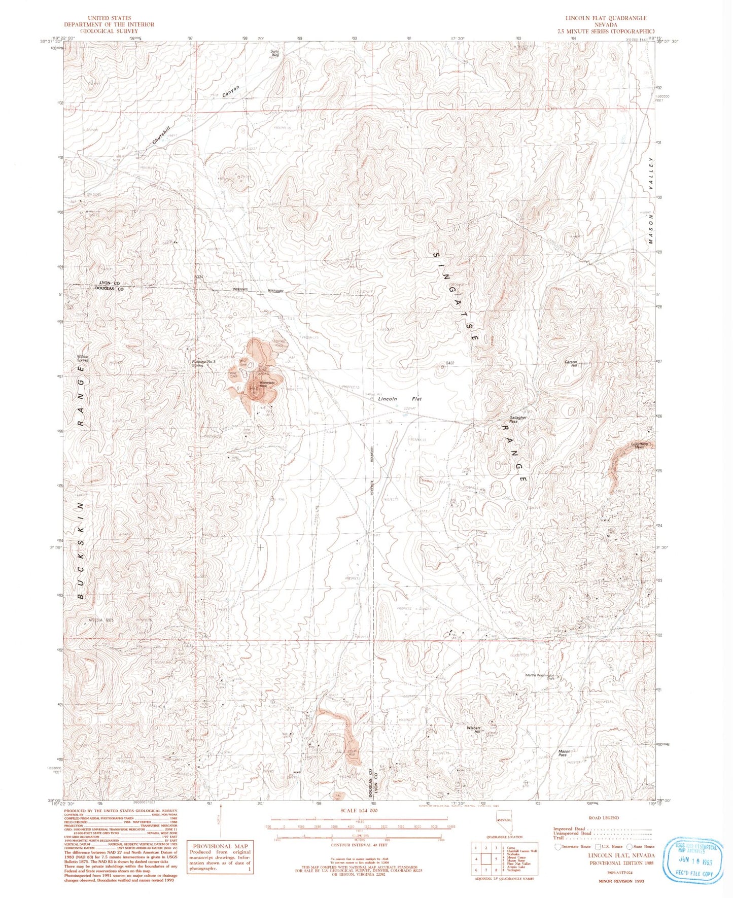
Classic USGS Lincoln Flat Nevada 7.5'x7.5' Topo Map
Regular price
$16.95
Regular price
Sale price
$16.95
Unit price
per
Couldn't load pickup availability
Historical USGS topographic quad map of Lincoln Flat in the state of Nevada. Map scale may vary for some years, but is generally around 1:24,000. Print size is approximately 24" x 27"
This quadrangle is in the following counties: Douglas, Lyon.
The map contains contour lines, roads, rivers, towns, and lakes. Printed on high-quality waterproof paper with UV fade-resistant inks, and shipped rolled.
Contains the following named places: Blackrock, Buckskin Mining District, Gallagher Pass, Guild Placer Mines, Lincoln Flat, Martha Washington Shaft, Mason Pass, McArthur Mine, Minnesota Mine, Sario Well, Singatse Range, Wishart Hill