MyTopo
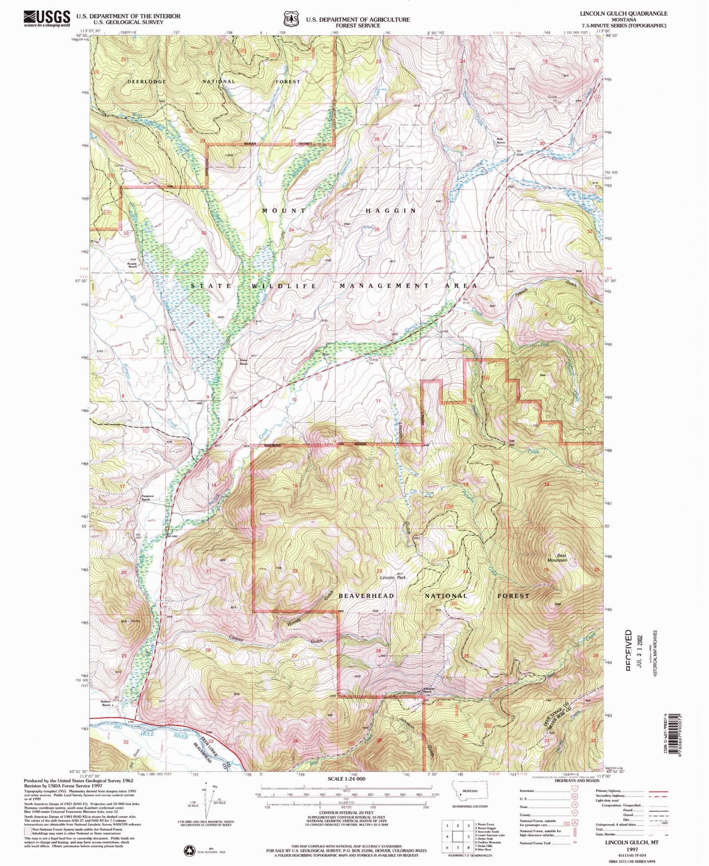
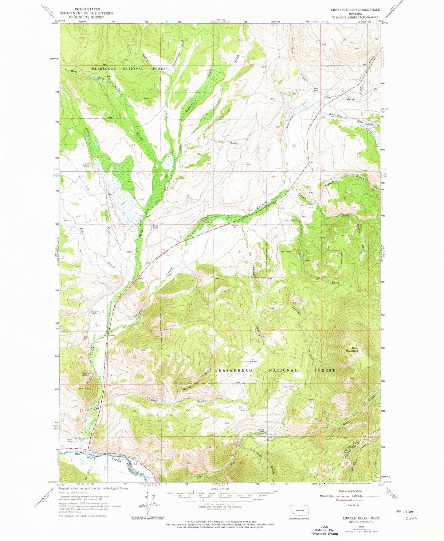
Classic USGS Lincoln Gulch Montana 7.5'x7.5' Topo Map
Couldn't load pickup availability
Historical USGS topographic quad map of Lincoln Gulch in the state of Montana. Map scale may vary for some years, but is generally around 1:24,000. Print size is approximately 24" x 27"
This quadrangle is in the following counties: Beaverhead, Deer Lodge, Silver Bow.
The map contains contour lines, roads, rivers, towns, and lakes. Printed on high-quality waterproof paper with UV fade-resistant inks, and shipped rolled.
Contains the following named places: American Creek, Bear Mountain, California Creek, Connor Gulch, Corral Creek, Deep Creek, Deep Creek Ski Area, Dry Creek, First Chance Creek, Forest Rose Mine, French Creek, French Gulch, French Gulch Post Office, Furgeson Ranch, Home Ranch, Johnson Gulch, Johnson Ranch, Lincoln Gulch, Lincoln Park, Little American Creek, Little California Creek, Mariah Meadows, Moose Creek, Mule Ranch, Oregon Creek, Panama Creek, Poronto Creek, Ralston, Ralston Post Office, Ralston Ranch, Ralston School, Rousch Ranch, Sevenmile Creek, Sixmile Creek, Slaughterhouse Creek, Still Gulch, Sullivan Creek, Tenmile Creek, Twelvemile Creek, West Fork Twelvemile Creek, Woods Gulch


