MyTopo
Classic USGS Lincoln NW Missouri 7.5'x7.5' Topo Map
Regular price
$16.95
Regular price
Sale price
$16.95
Unit price
per
Couldn't load pickup availability
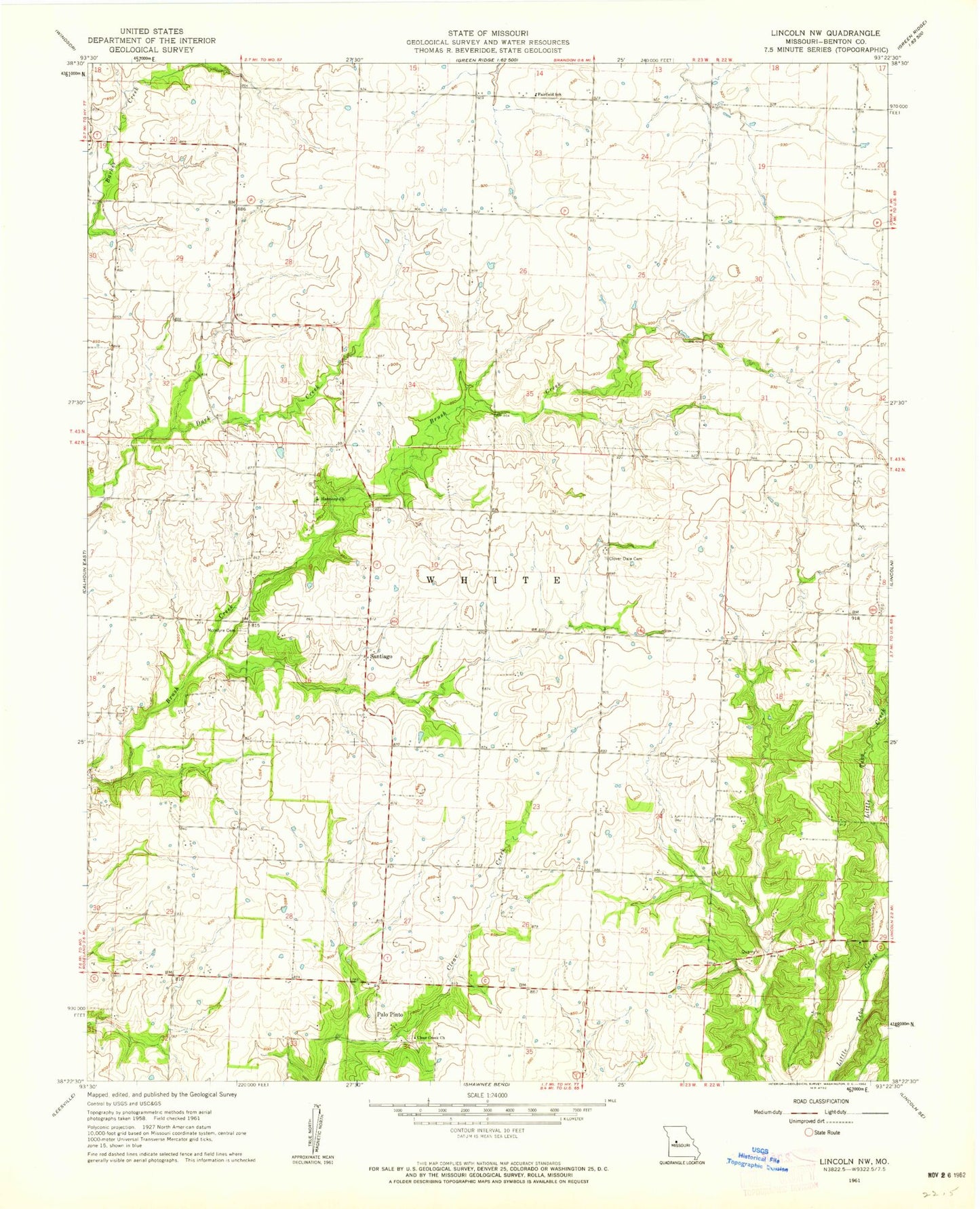
Historical USGS topographic quad map of Lincoln NW in the state of Missouri. Map scale may vary for some years, but is generally around 1:24,000. Print size is approximately 24" x 27"
This quadrangle is in the following counties: Benton.
The map contains contour lines, roads, rivers, towns, and lakes. Printed on high-quality waterproof paper with UV fade-resistant inks, and shipped rolled.
Contains the following named places: Byler Branch, Clear Creek Cemetery, Clear Creek Church, Clover Dale Cemetery, Fairfield School, Greenfield School, Harmony Church, McIntire Chapel Cemetery, Palo Pinto, Prairie View School, Rocky Dale School, Santiago, Santiago School, Township of White