MyTopo
Classic USGS Lincoln Park Georgia 7.5'x7.5' Topo Map
Couldn't load pickup availability
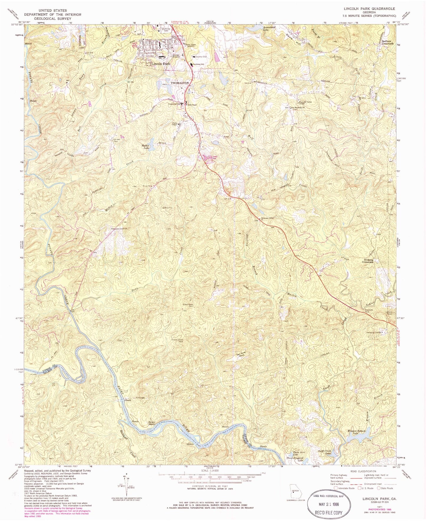
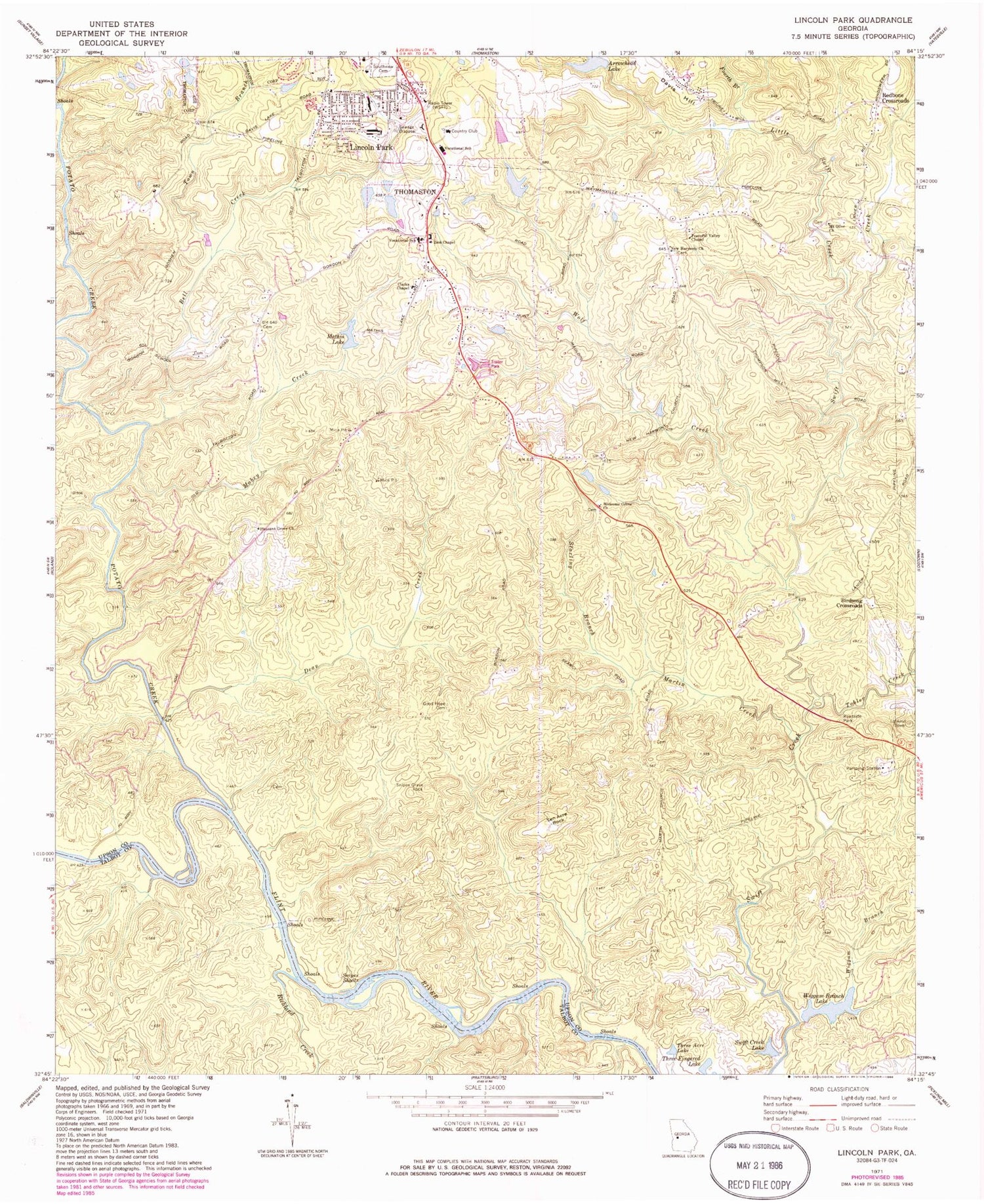
Historical USGS topographic quad map of Lincoln Park in the state of Georgia. Map scale may vary for some years, but is generally around 1:24,000. Print size is approximately 24" x 27"
This quadrangle is in the following counties: Talbot, Upson.
The map contains contour lines, roads, rivers, towns, and lakes. Printed on high-quality waterproof paper with UV fade-resistant inks, and shipped rolled.
Contains the following named places: Arrowhead Lake, Arrowhead Lake Dam, Bell Creek, Birdsong Crossroads, Chris Collier Bridge, Clarks Chapel, Copper Hill East Lake, Copper Hill East Lake Dam, Copper Hill West Lake, Copper Hill West Lake Dam, Daniel School, Davis Hill, Dean Creek, Fourth Branch, Good Hope Cemetery, Good Hope Church, Irvin Creek, Jerry Reeves Creek, Lanier School, Lincoln Memorial Cemetery, Lincoln Park, Lincoln Park Census Designated Place, Lincoln Park Volunteer Fire Department, Little Swift Creek, Mabry Creek, Martha Berry School, Martin Creek, Martin School, Mathis Lake, Mathis Lake Dam, Matthews Country Club, Mount Olive Church, New Harmony Cemetery, New Harmony Church, Parkers Bridge, Peaceful Valley Chapel, Pleasant Grove Church, Pleasant Grove School, Potato Creek, Redbone Crossroads, Richland Creek, Rock Hill Volunteer Fire Department Station 2, Saint Paul Church, Shepherd School, Snipes Grave Rock, Snipes Shoals, Southview Cemetery, Starling Branch, Swift Creek, Swift Creek Lake, Ten Acre Rock, Three Acre Lake, Three Fingered Lake, Tobler Creek, Town Branch, Upson County Area Vocational School, Upson County Sportsmens Club Lak, Watson School, Welcome Grove Church, Welcome Grove School, Wiggam Branch, Wiggam Branch Lake, Wiggam Branch Lake Dam, Wolf Creek, WSFT-AM (Thomaston), Zion Chapel, Zion Chapel Cemetery


