MyTopo
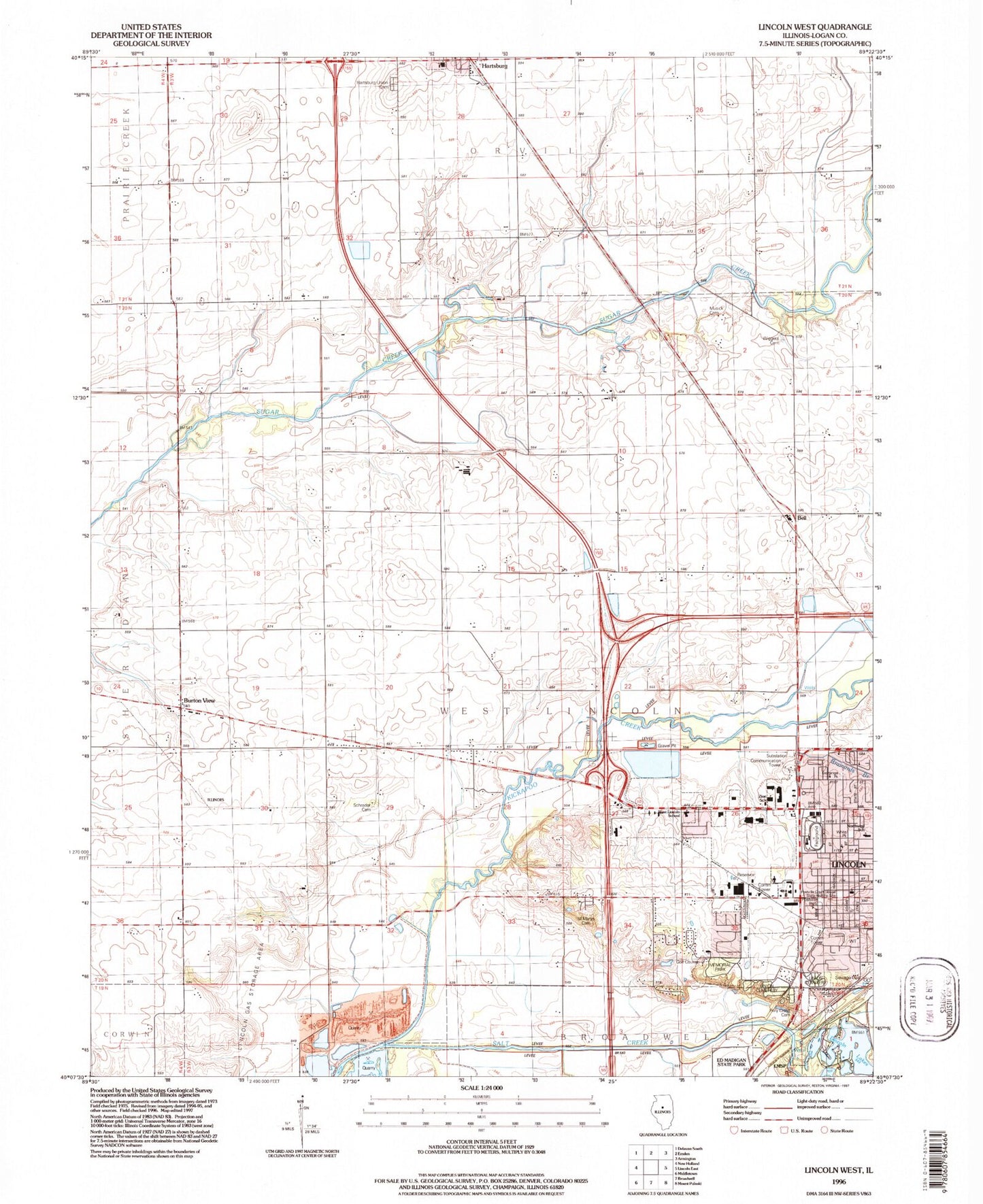
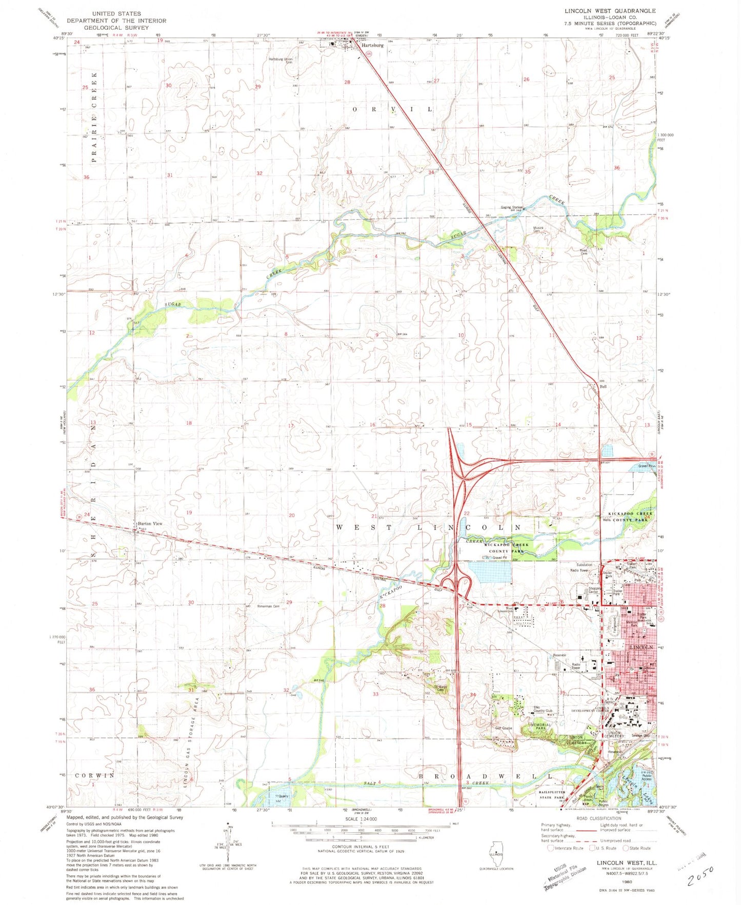
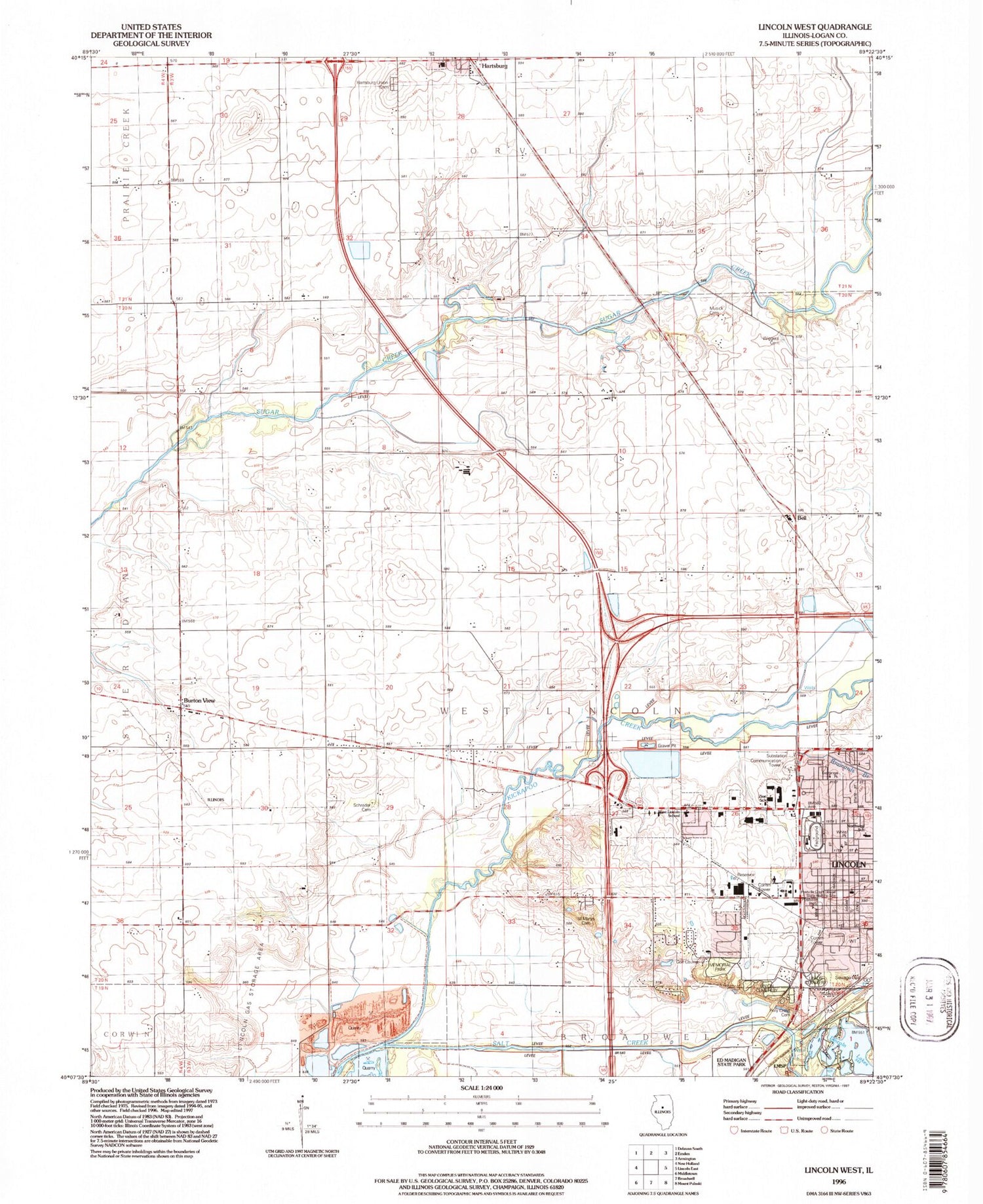
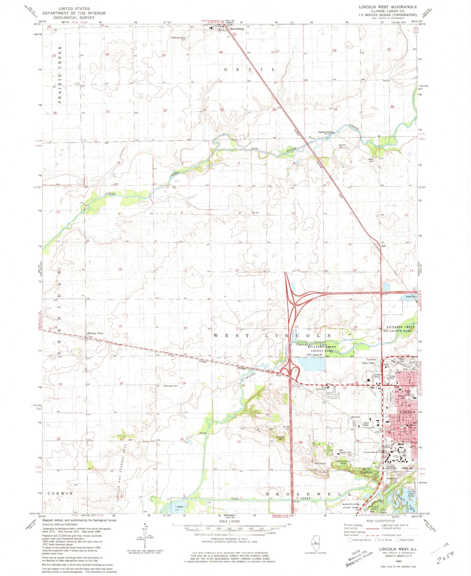
Classic USGS Lincoln West Illinois 7.5'x7.5' Topo Map
Couldn't load pickup availability
Historical USGS topographic quad map of Lincoln West in the state of Illinois. Map scale may vary for some years, but is generally around 1:24,000. Print size is approximately 24" x 27"
This quadrangle is in the following counties: Logan.
The map contains contour lines, roads, rivers, towns, and lakes. Printed on high-quality waterproof paper with UV fade-resistant inks, and shipped rolled.
Contains the following named places: Abraham Lincoln Memorial Hospital, Allison Lake, Altic School, Bell, Burton View, Church of God, Drake Hospital, Elks Country Club, Fairfield School, Free Methodist Church, Glenwild School, Glenwood School, Hartsburg Union Cemetery, Hartsburg-Emden Junior-Senior High School, Heritage Plaza Shopping Center, Holy Cross Cemetery, Jefferson Elementary School, Kickapoo Creek, Kickapoo Creek County Park, Lincoln Developmental Center, Lincoln Lakes, Lincoln Rural Fire Protection District Station 1 Headquarters, Logan County Fairgrounds, Logan County Farm, Logan County Paramedic Association, Lone Tree School, Martin Airport, Melrose Park, Memorial Park, Mount Pleasant School, Musick Cemetery, Musick School, Northwest Elementary School, Old Union Cemetery, Postville Park, Reed Cemetery, Rimerman Cemetery, Rothchild School, Saint Mary's Cemetery, Sigg School, Township of West Lincoln, Union Cemetery, West Lincoln-Broadwell Elementary School, West Point School, WESZ-FM (Lincoln), Woodlawn Savings Center Shopping Center, WPRC-AM (Lincoln), ZIP Code: 62643


