MyTopo
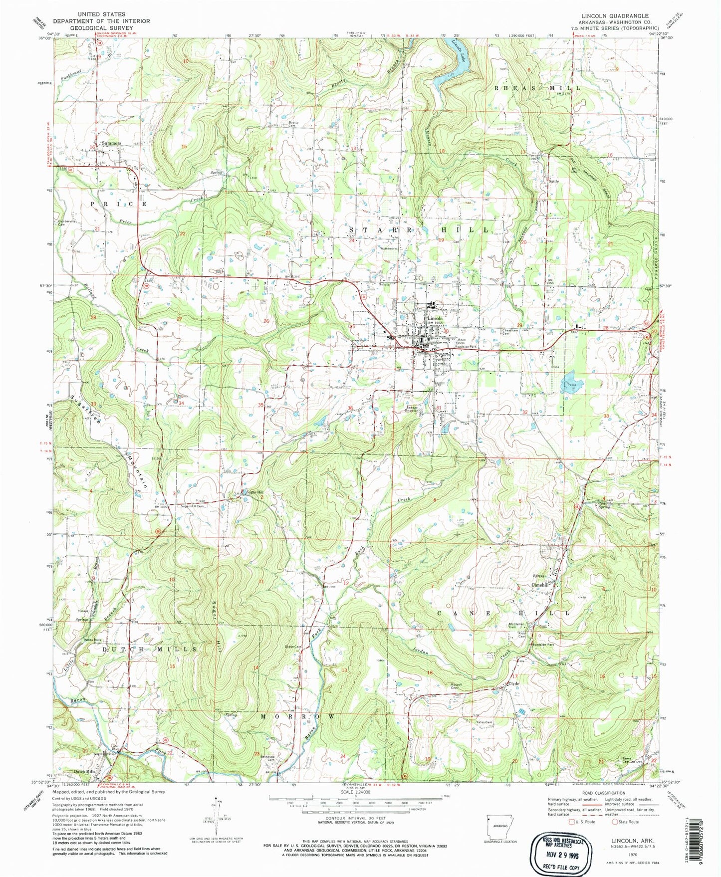
Classic USGS Lincoln Arkansas 7.5'x7.5' Topo Map
Couldn't load pickup availability
Historical USGS topographic quad map of Lincoln in the state of Arkansas. Map scale may vary for some years, but is generally around 1:24,000. Print size is approximately 24" x 27"
This quadrangle is in the following counties: Washington.
The map contains contour lines, roads, rivers, towns, and lakes. Printed on high-quality waterproof paper with UV fade-resistant inks, and shipped rolled.
Contains the following named places: Bean Cemetery, Beatty Branch, Beatty Cemetery, Bethesda Cemetery, Bush Creek, Cane Hill College, Canehill, Canehill Cemetery, Canehill Census Designated Place, Canehill Post Office, Cantrell Lake, Cantrell Lake Dam, Cheatham Cemetery, City of Lincoln, Clyde, Clyde Post Office, Cove Spring, Drake Cemetery, Dutch Mills, Glendale Branch, Jordan Creek, Kidd Cemetery, Lincoln, Lincoln Elementary School, Lincoln High School, Lincoln Lake, Lincoln Middle School, Lincoln Police Department, Lincoln Post Office, Lincoln Volunteer Fire Department, Luginbuel Farm Airport, Mcclellan Cemetery, Price Creek, Reese Cemetery, Rodgers Lake, Rodgers Lake Dam, Russell Cemetery, Salem Springs, Starr Hill School, Sugar Hill, Sugar Hill Cemetery, Sugartree Mountain, Summers, Summers Census Designated Place, Summers Post Office, Suttle, Township of Cane Hill, Township of Dutch Mills, Township of Lincoln, Township of Price, Township of Starr Hill, United Presbyterian Church of Canehill, White Rock Cemetery, Yates Cemetery, ZIP Code: 72744