MyTopo
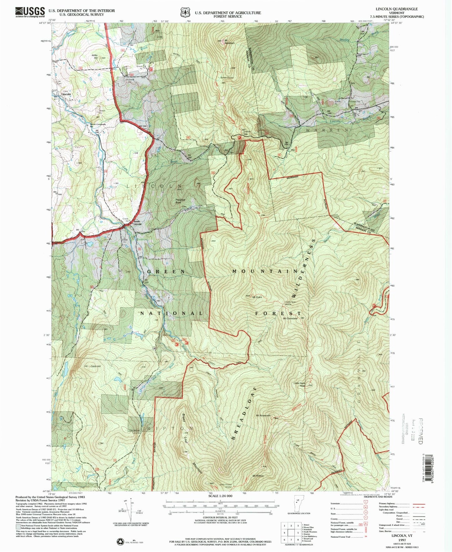
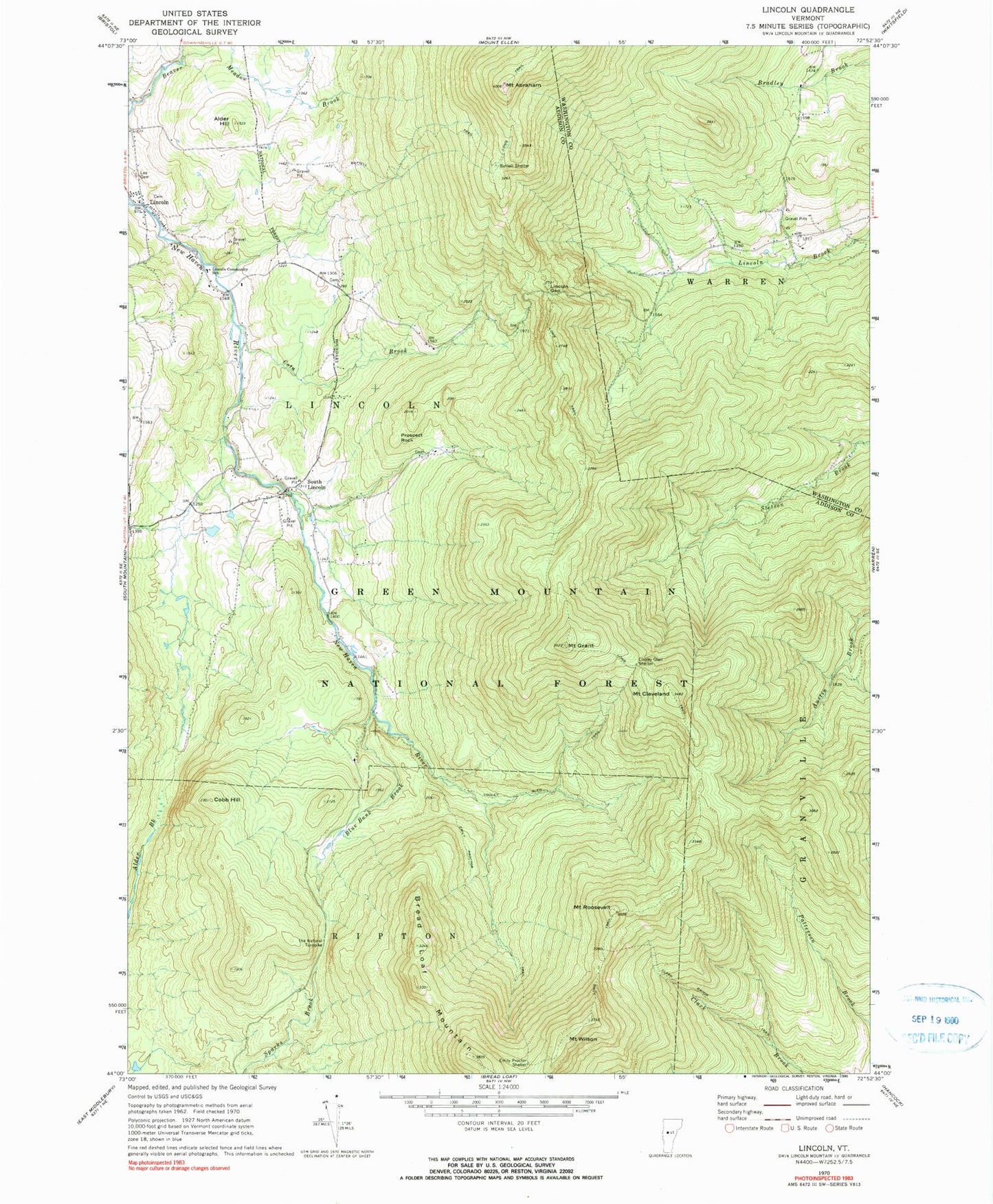
Classic USGS Lincoln Vermont 7.5'x7.5' Topo Map
Couldn't load pickup availability
Historical USGS topographic quad map of Lincoln in the state of Vermont. Typical map scale is 1:24,000, but may vary for certain years, if available. Print size: 24" x 27"
This quadrangle is in the following counties: Addison, Washington.
The map contains contour lines, roads, rivers, towns, and lakes. Printed on high-quality waterproof paper with UV fade-resistant inks, and shipped rolled.
Contains the following named places: Mount Abraham, Alder Hill, Battell Shelter, Battell Trail, Blue Bank Brook, Bread Loaf Mountain, Clark Brook Trail, Mount Cleveland, Cobb Hill, Cooley Glen Shelter, Cooley Glen Trail, Cota Brook, Emily Proctor Shelter, Emily Proctor Trail, Mount Grant, Lee Cemetery, Lincoln, Lincoln Community School, Lincoln Gap, Prospect Rock, Mount Roosevelt, South Lincoln, The Natural Turnpike, Mount Wilson, Maule's Roost Airport, Town of Lincoln, Eubar - Odette Cemetery, Johnson Cemetery, Lincoln United Church, Pope Cemetery, Breadloaf Wilderness, Lincoln Volunteer Fire Department, Little Hans Peak, Lincoln Census Designated Place, South Lincoln Census Designated Place