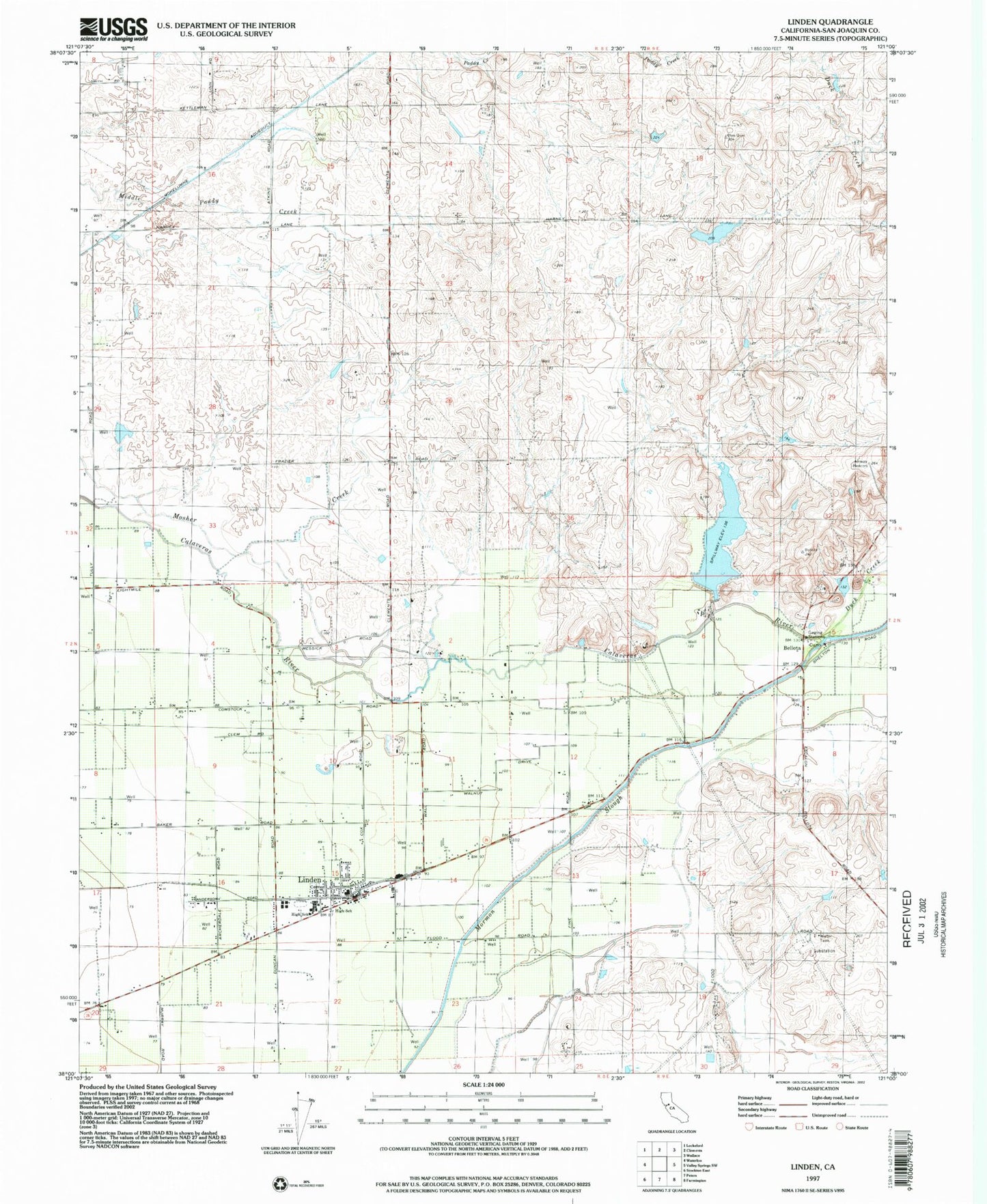
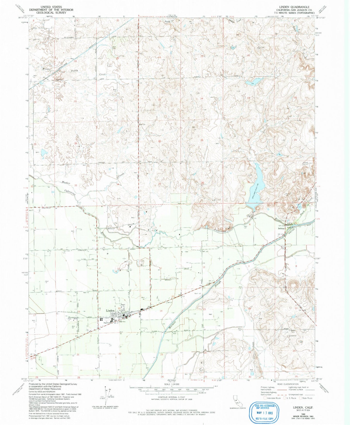
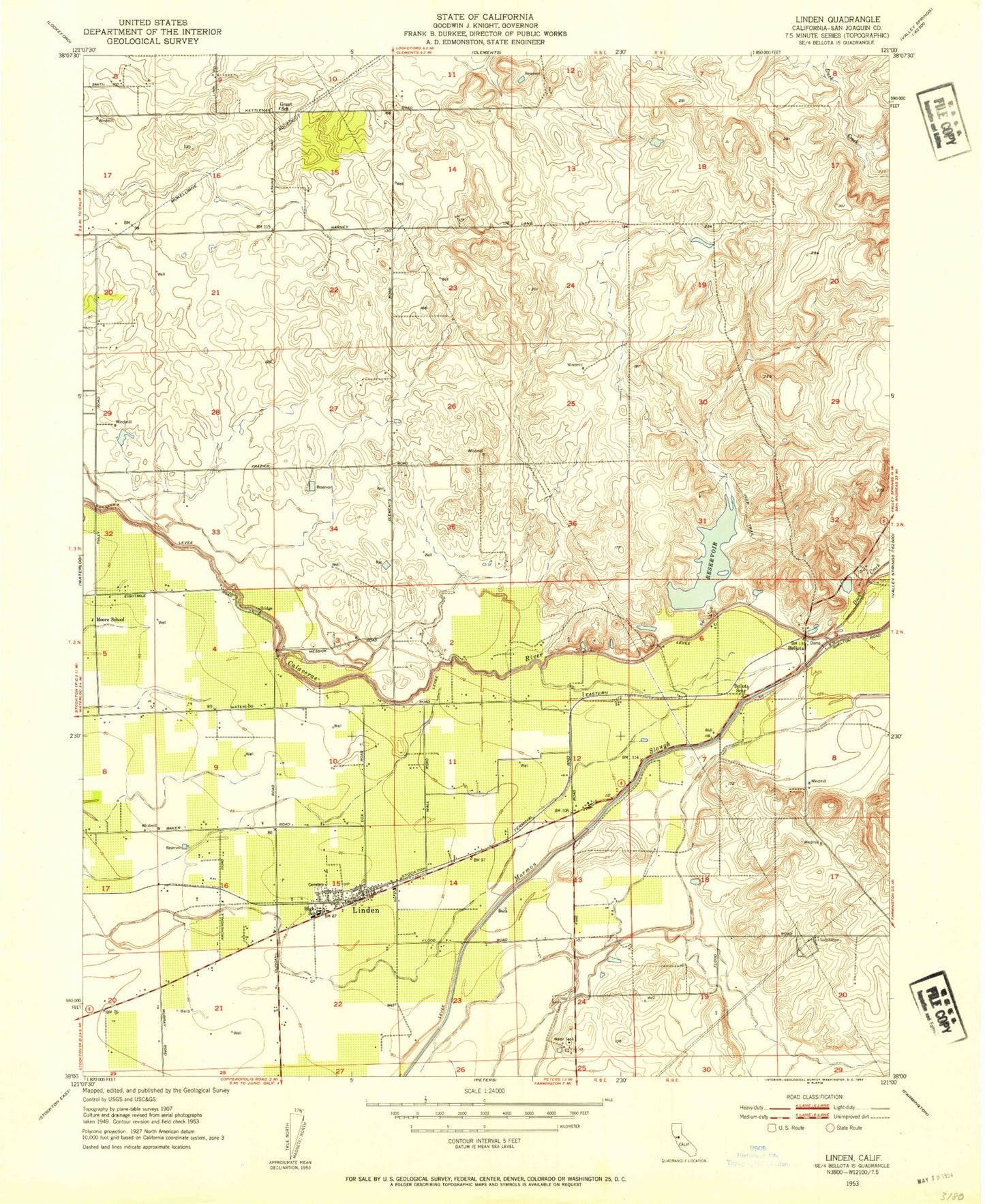
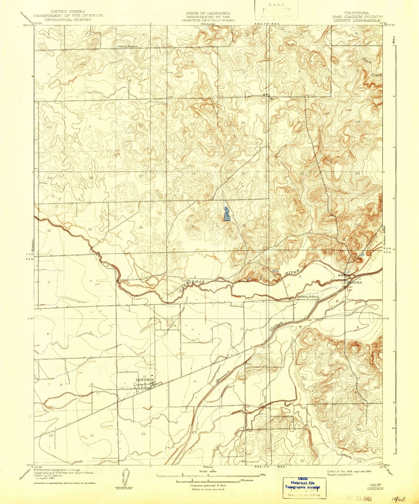
MyTopo
Classic USGS Linden California 7.5'x7.5' Topo Map
Couldn't load pickup availability
Historical USGS topographic quad map of Linden in the state of California. Map scale may vary for some years, but is generally around 1:24,000. Print size is approximately 24" x 27"
This quadrangle is in the following counties: San Joaquin.
The map contains contour lines, roads, rivers, towns, and lakes. Printed on high-quality waterproof paper with UV fade-resistant inks, and shipped rolled.
Contains the following named places: Bellota, Bellota School, Davis Number 2 572-002 Dam, Duck Creek, First Baptist Church, Foothill Ranch 573 Dam, Fowler's Airport, Grant School, Holy Cross Church, Linden, Linden - Peters Rural Fire Protection District, Linden Cemetery, Linden Census Designated Place, Linden Elementary School, Linden High School, Linden Post Office, Moore School, ZIP Code: 95236