MyTopo
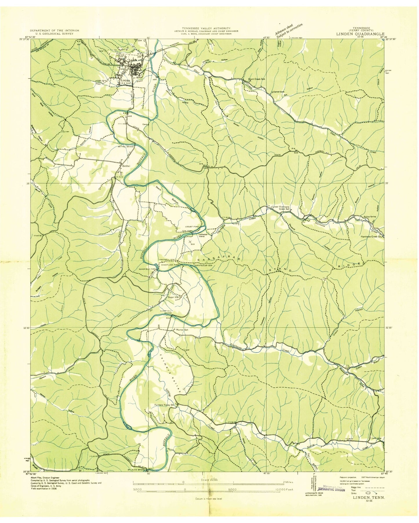
Classic USGS Linden Tennessee 7.5'x7.5' Topo Map
Couldn't load pickup availability
Historical USGS topographic quad map of Linden in the state of Tennessee. Typical map scale is 1:24,000, but may vary for certain years, if available. Print size: 24" x 27"
This quadrangle is in the following counties: Perry.
The map contains contour lines, roads, rivers, towns, and lakes. Printed on high-quality waterproof paper with UV fade-resistant inks, and shipped rolled.
Contains the following named places: Linden Division (historical), Mount Olive Bridge, Shelton Hollow, Short Creek, Sinking Creek, Squirrel Hollow, Sugar Hill Branch, The Mound Cemetery, Toll Branch, Treadwell Hollow, Webb Branch, Webb Cemetery, Whitwell Cemetery, Ary Cemetery, Bandmill Hollow, Barber Hollow, Baston Hollow, Beech Bottom, Bethel, Bethel Bridge, Bird Hollow, Boiling Spring, Bryson Hollow, Camp Linden, Cedar Creek, Coon Creek Hollow, Dabbs Hollow, Farmers Valley, Farmers Valley Church, Gin Hollow, Gin Hollow, Greasy Hollow, Hufstedler Cemetery, Hurricane Creek, Hurricane Creek Church, Inman Hollow, Jack Branch, Johnson Hollow, Journey Hollow, Kittrell Cemetery, Ledbetter Hollow, Ledbetter Island, Linden, Pound Mill Hollow, Qualls Hollow, Rise Mill Hollow, Rockhouse Church, Rockhouse Creek, Rush Hollow, Sassafras Stand Ridge, Schoolhouse Hollow, Sharp Cemetery, Sharp Hollow, Warren Church, Catron Cemetery, Cotton Branch, Camp Linden, Circle C School, Greasy Branch, Linden Elementary School, Locust Ford, Lower Hurricane Creek School (historical), Perry County High School, Sandfield Ford, Short Creek School (historical), Sugar Hill Bridge (historical), Warren School (historical), Sugar Hill, Washplace Ford, Cow Ford, Bethel United Methodist Church, Perry County Home, Perry Community Hospital, Linden Post Office, Town of Linden, Commissioner District 3, Commissioner District 5, Linden Volunteer Fire Department, Perry County Emergency Medical Services, Perry County Sheriff's Office


