MyTopo
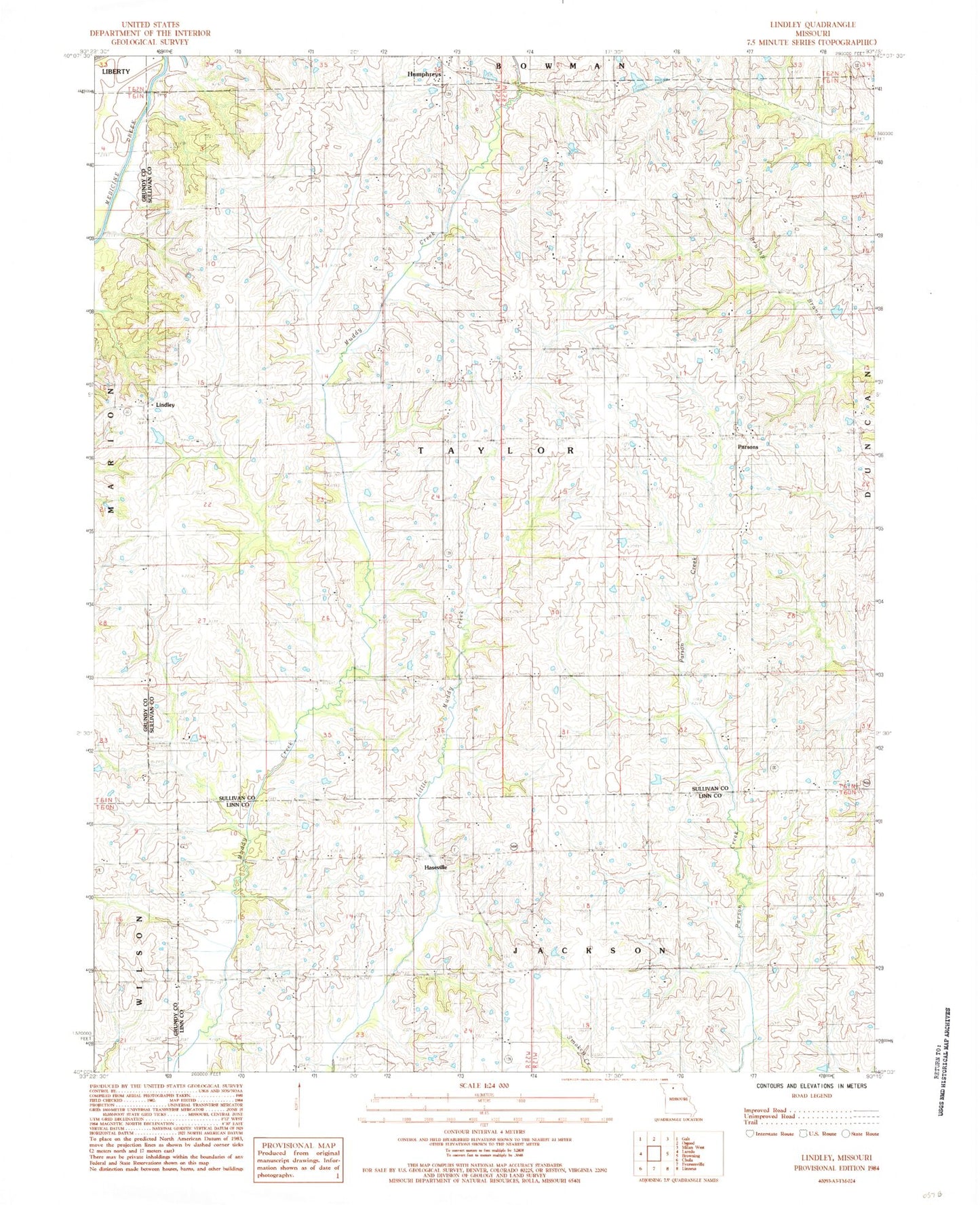
Classic USGS Lindley Missouri 7.5'x7.5' Topo Map
Couldn't load pickup availability
Historical USGS topographic quad map of Lindley in the state of Missouri. Map scale may vary for some years, but is generally around 1:24,000. Print size is approximately 24" x 27"
This quadrangle is in the following counties: Grundy, Linn, Sullivan.
The map contains contour lines, roads, rivers, towns, and lakes. Printed on high-quality waterproof paper with UV fade-resistant inks, and shipped rolled.
Contains the following named places: Baker Lake, Baker Lake Dam, Climax School, Duffield School, Fairview School, Green Valley School, Hamilton School, Haseville, Haseville Cemetery, Haseville Church, Lindley, Lindley Cemetery, Lindley School, Mount Zion Cemetery, Mount Zion Church, North Bethel School, Parsons, Russell School, Smith Cemetery, Strong and Stewart Lake, Strong and Stewart Lake Dam, Township of Taylor, Whaley School, ZIP Code: 64646