MyTopo
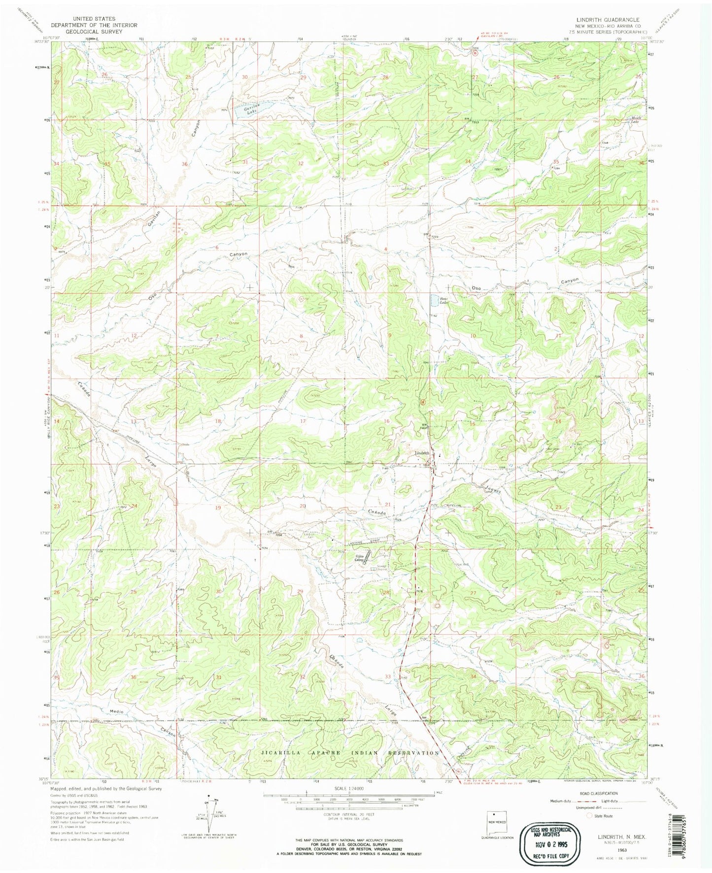
Classic USGS Lindrith New Mexico 7.5'x7.5' Topo Map
Couldn't load pickup availability
Historical USGS topographic quad map of Lindrith in the state of New Mexico. Map scale may vary for some years, but is generally around 1:24,000. Print size is approximately 24" x 27"
This quadrangle is in the following counties: Rio Arriba.
The map contains contour lines, roads, rivers, towns, and lakes. Printed on high-quality waterproof paper with UV fade-resistant inks, and shipped rolled.
Contains the following named places: Bear Lake, Canada Jacquez, Gavilan Lake, Humphries, Lindrith, Lindrith Airpark, Lindrith Census Designated Place, Lindrith Post Office, Lindrith Volunteer Fire Department, Monte Lake, OJ170 5 Water Well, Ojito 3 Water Well, Ojito 4 Water Well, Ojito Camp, Ojito Camp Water Well, Rebecca Velarde Water Well