
MyTopo
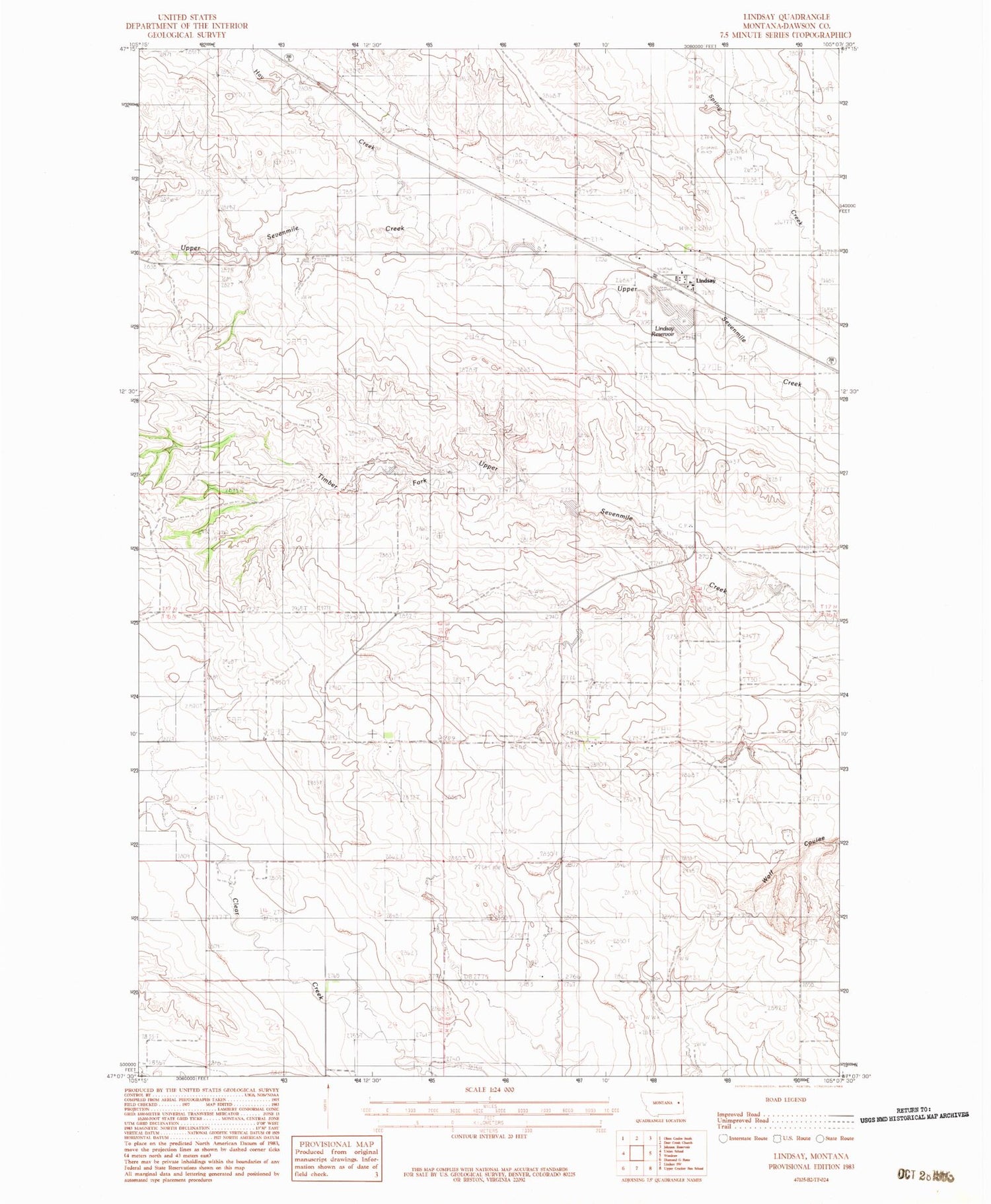
Classic USGS Lindsay Montana 7.5'x7.5' Topo Map
Couldn't load pickup availability
Historical USGS topographic quad map of Lindsay in the state of Montana. Map scale may vary for some years, but is generally around 1:24,000. Print size is approximately 24" x 27"
This quadrangle is in the following counties: Dawson.
The map contains contour lines, roads, rivers, towns, and lakes. Printed on high-quality waterproof paper with UV fade-resistant inks, and shipped rolled.
Contains the following named places: 16N52E08BAB_01 Well, 17N51E13BDA_01 Well, 17N51E28DDC_01 Well, Baggs School, Danial Downs Number 2 Dam, Danial Downs Number 4 Dam, Farmers Elevator, Hay Creek, Lindsay, Lindsay Census Designated Place, Lindsay Dam, Lindsay Post Office, Lindsay Reservoir, Lindsay School, Timber Fork School


