MyTopo
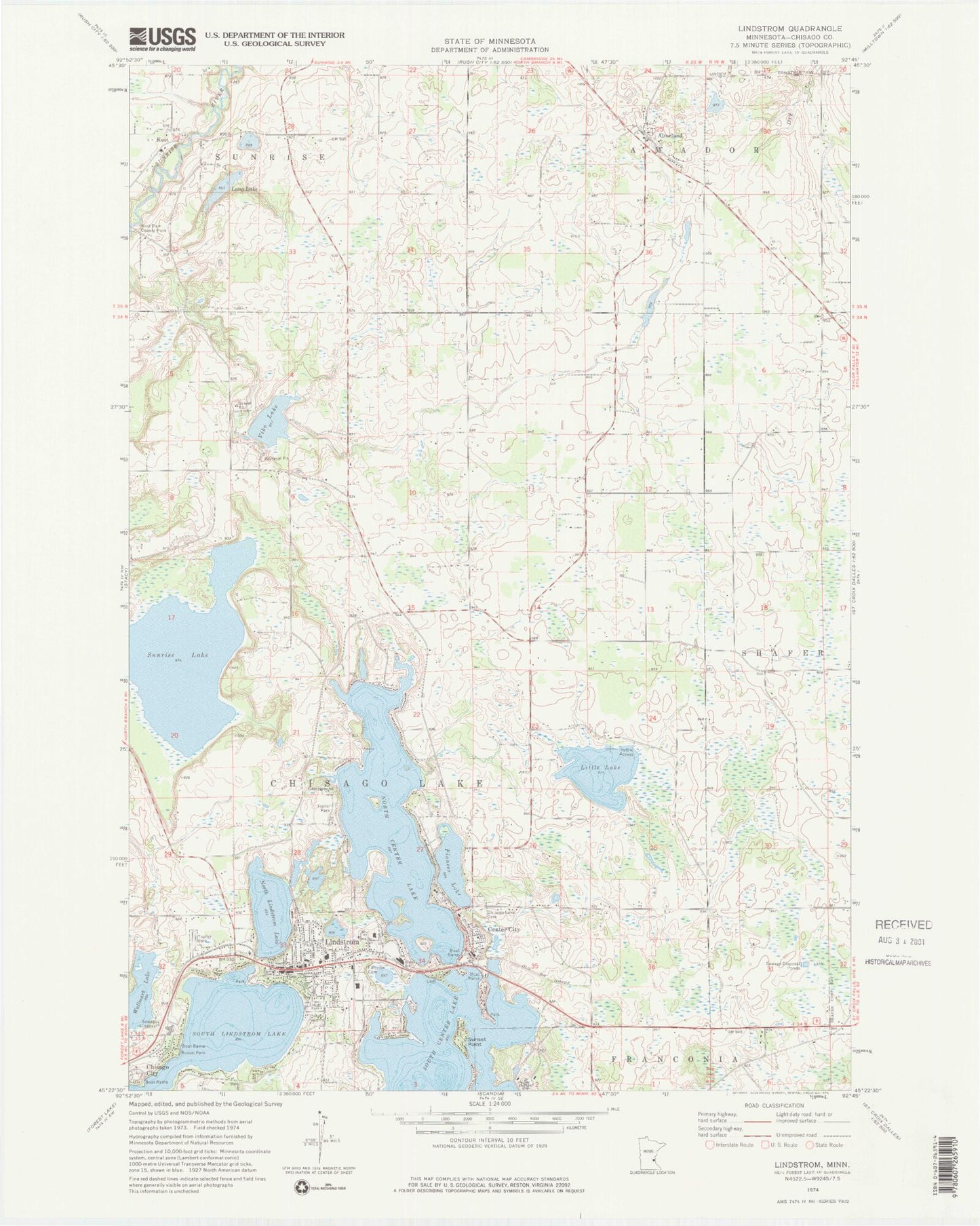
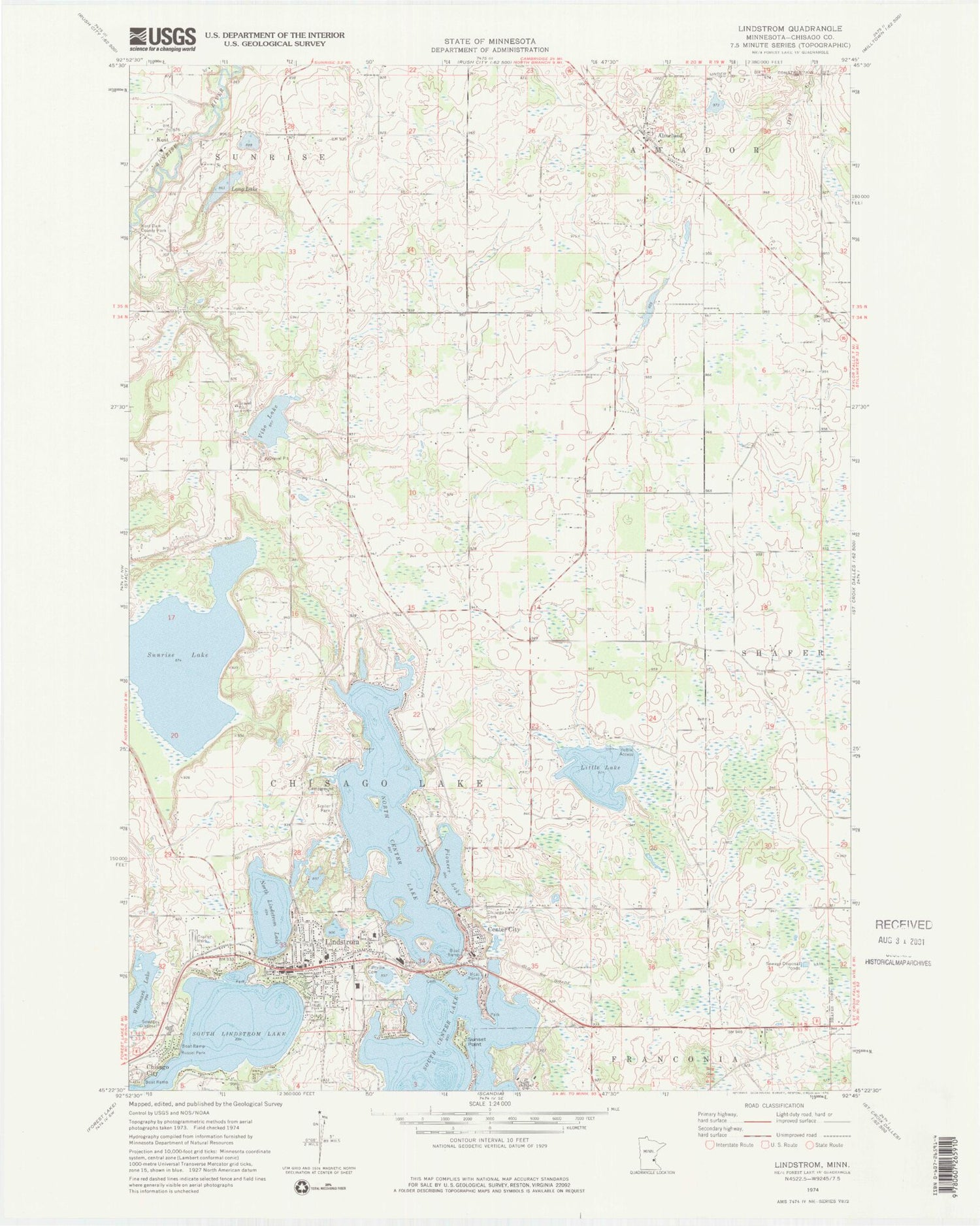
Classic USGS Lindstrom Minnesota 7.5'x7.5' Topo Map
Couldn't load pickup availability
Historical USGS topographic quad map of Lindstrom in the state of Minnesota. Map scale may vary for some years, but is generally around 1:24,000. Print size is approximately 24" x 27"
This quadrangle is in the following counties: Chisago.
The map contains contour lines, roads, rivers, towns, and lakes. Printed on high-quality waterproof paper with UV fade-resistant inks, and shipped rolled.
Contains the following named places: Almelund, Almelund Cemetery, Almelund Fire and Rescue, Almelund Post Office, Amador Heritage Center, Assembly of God Church, Barnes Airport, Beach Park, Blue Waters Leisure Park, Blue Waters Leisure Park Campgrounds, Carl Almquist Field, Center City, Center City Fire Department, Center City Post Office, Chisago County Government Center, Chisago County Life Care Center, Chisago County Sheriff's Office, Chisago Health Services Heliport, Chisago Lake Cemetery, Chisago Lake Lutheran Church, Chisago Lakes Evangelical Free Church, Chisago Lakes Middle School, City of Center City, City of Shafer, Crescent Beach Methodist Cemetery, Dry Creek, Elm Estates, Fairview Cemetery, Fairview Lakes Regional Health Center, First United Methodist Church, Hillcrest RV Park, Hillside Cemetery, Immanuel Lutheran Church, Kost, Kost Dam County Park, Kost Evangelical Free Church, Kost Evangelical Free Church Cemetery, Kost Post Office, Lake Shore Terrace Mobile Home Park, Lakes Area Police Department, Lindstrom, Lindstrom Cemetery, Lindstrom City Hall, Lindstrom Fire Department, Lindstrom High School, Lindstrom Police Department, Lindstrom Post Office, Lindstrom Public Library, Little Lake, Long Lake, North Center Lake, North Center Lake Seaplane Base, North Lindstrom Lake, Pioneer Lake, Russel Park, Saint Bridgets Catholic Church, South Center Lake, South Lindstrom Lake, Stepping Stones Christian School, Sunrise Lake, Sunrise River Dam, Sunset Point, Triangle Park, Trinity Lutheran Church, Vibo Lake, ZIP Codes: 55012, 55045


