
MyTopo
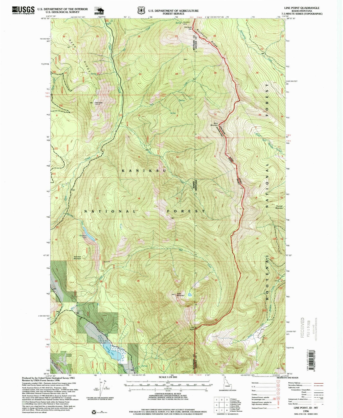
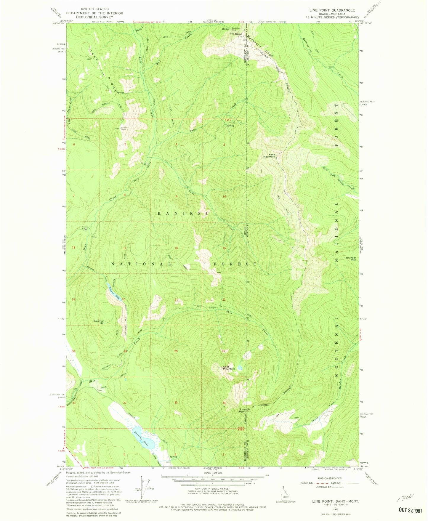
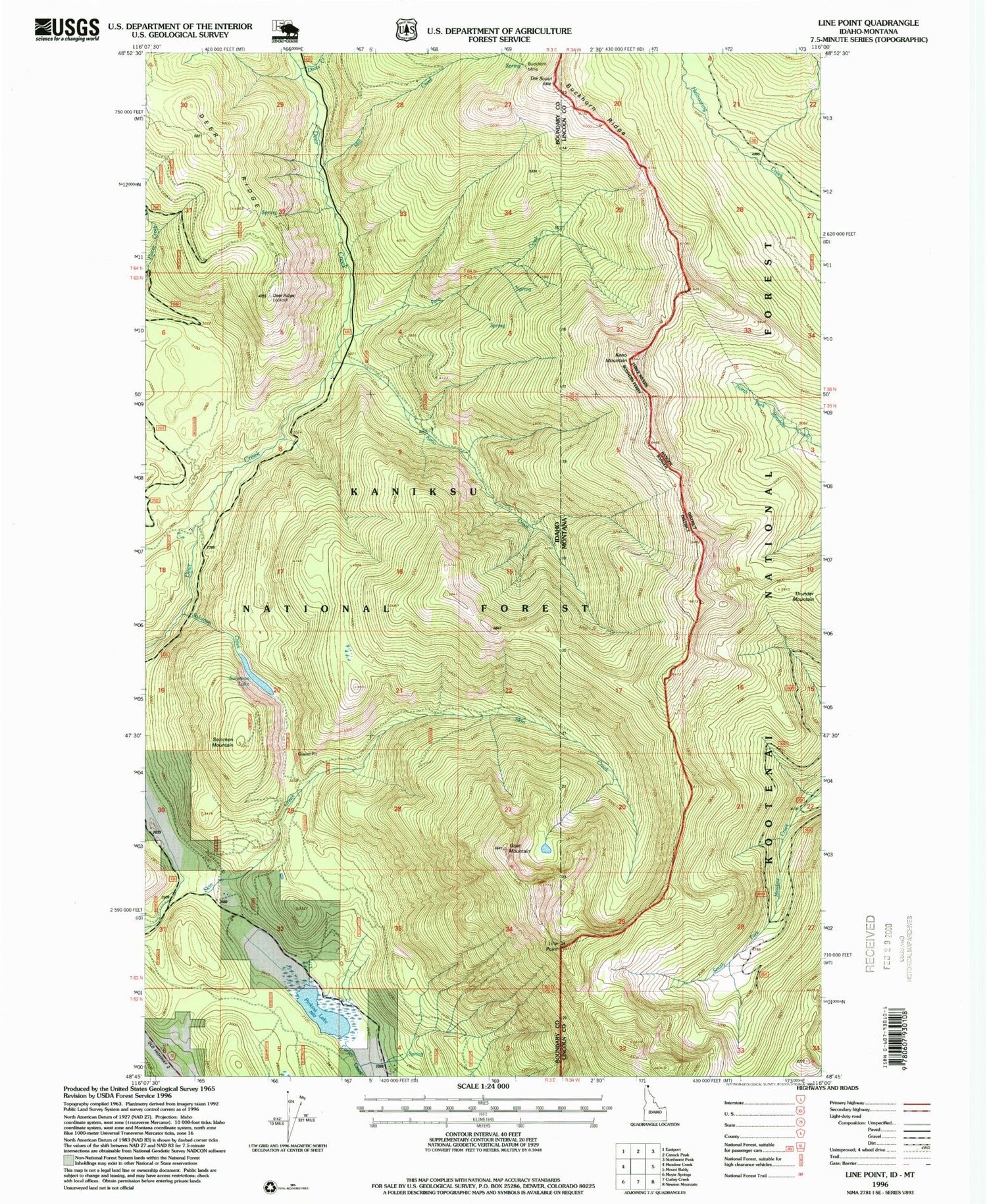
Classic USGS Line Point Idaho 7.5'x7.5' Topo Map
Couldn't load pickup availability
Historical USGS topographic quad map of Line Point in the states of Idaho, Montana. Map scale may vary for some years, but is generally around 1:24,000. Print size is approximately 24" x 27"
This quadrangle is in the following counties: Boundary, Lincoln.
The map contains contour lines, roads, rivers, towns, and lakes. Printed on high-quality waterproof paper with UV fade-resistant inks, and shipped rolled.
Contains the following named places: Buckhorn Mine, Buckhorn Ridge, Davis Creek, Deer Ridge, Deer Ridge Lookout, Faro Creek, Goat Mountain, Keno Creek, Keno Mountain, Line Point, Mill Creek, Perkins Lake, Reno Mountain, Solomon Creek, Solomon Lake, Solomon Mountain, The Scout, Thunder Mountain, ZIP Code: 83845