MyTopo
Classic USGS Lineville East Alabama 7.5'x7.5' Topo Map
Couldn't load pickup availability
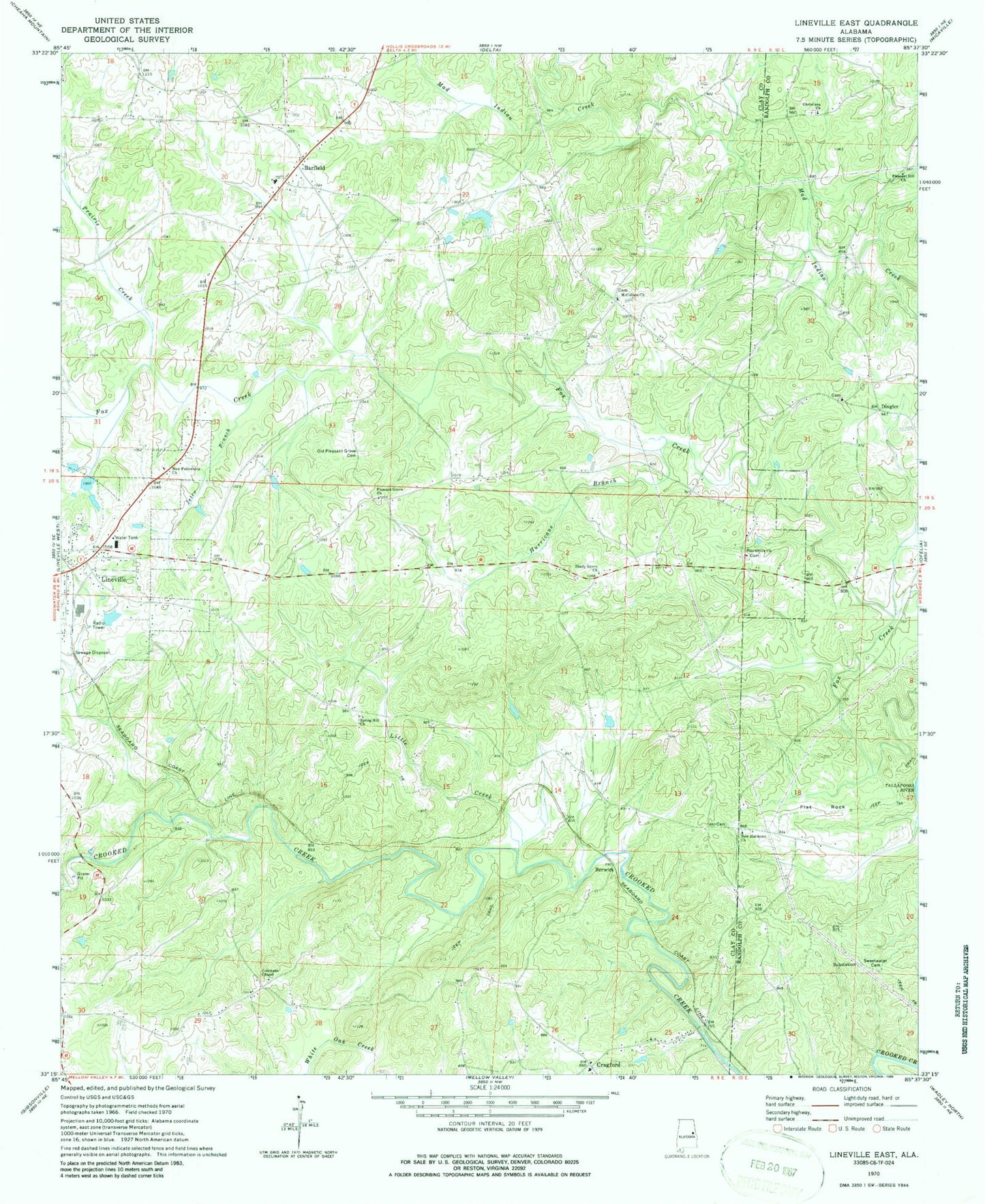
Historical USGS topographic quad map of Lineville East in the state of Alabama. Map scale may vary for some years, but is generally around 1:24,000. Print size is approximately 24" x 27"
This quadrangle is in the following counties: Clay, Randolph.
The map contains contour lines, roads, rivers, towns, and lakes. Printed on high-quality waterproof paper with UV fade-resistant inks, and shipped rolled.
Contains the following named places: Abner, Barfield, Barfield Baptist Church Cemetery, Barfield Church, Barfield Junior High School, Barfield Volunteer Fire Department, Bartlett Crossroads, Benjamin Prospect, Berwick, Buck Creek, Center School, Christiana Church, Clay Community Church, Cockrell Placer Mine, Colemans Chapel, Court Hill Post Office, Cragford, Cragford - Corinth Volunteer Fire Department, Cragford - Wesobulga Cemetery, Cragford Church, Cragford Junior High School, Cragford Post Office, Denny, Dingler, Dinglers Chapel Christian Church Cemetery, Dinglers Chapel Church, East Mill, Flat Rock, Flat Rock Post Office, Grays Mill, Griffin Mine, Grizzel Prospect, Hurricane Branch, Jeter Branch, Lineville Club Lake, Lineville Dam, Little Creek, McCollum Baptist Church, McCollum Baptist Church Cemetery, McCollum School, New Fellowship Church, New Harmony Church, New Hope Church, New Hope School, Old Pleasant Grove Cemetery, Orrs Gin, Pine Grove Baptist Church Cemetery, Pine Grove Church, Pine Grove Volunteer Fire Department, Pleasant Grove Baptist Church, Pleasant Grove Baptist Church Cemetery, Pleasant Hill Church, Prairie Creek, Shady Grove Church, Shiloh, Shiloh Cemetery, Spring Hill Baptist Church, Spring Hill School, Sweetwater Cemetery, Union Gin, WANL-AM (Lineville), Youngs Chapel Church, ZIP Code: 36266


