MyTopo
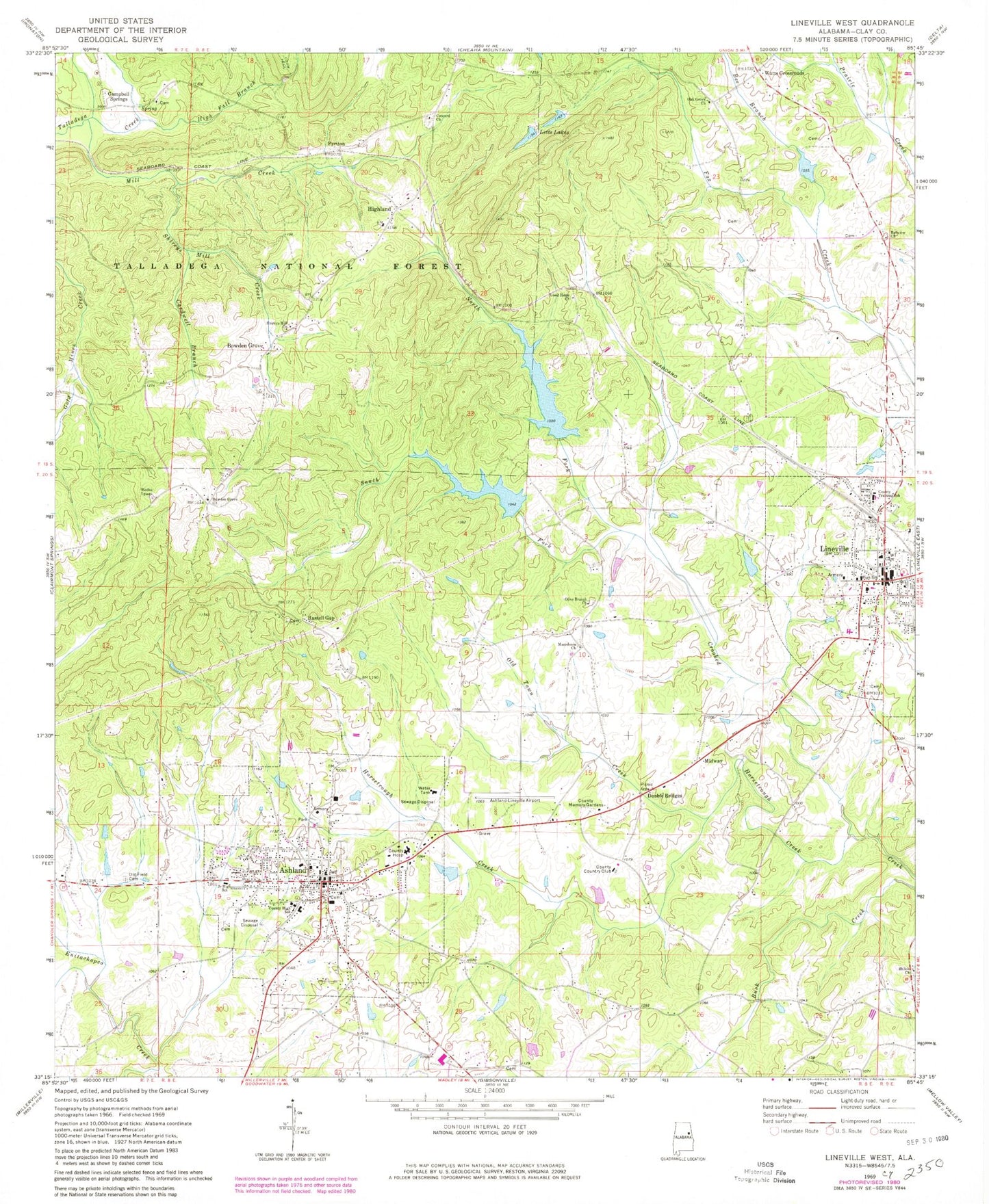
Classic USGS Lineville West Alabama 7.5'x7.5' Topo Map
Couldn't load pickup availability
Historical USGS topographic quad map of Lineville West in the state of Alabama. Map scale may vary for some years, but is generally around 1:24,000. Print size is approximately 24" x 27"
This quadrangle is in the following counties: Clay.
The map contains contour lines, roads, rivers, towns, and lakes. Printed on high-quality waterproof paper with UV fade-resistant inks, and shipped rolled.
Contains the following named places: Alabama Gold and Mica Mine, American Mine, Ashland, Ashland City Cemetery, Ashland Elementary School, Ashland Junior High School, Ashland Police Department, Ashland Post Office, Ashland Volunteer Fire Department, Ashland/Lineville Airport, Barrett Mine, Bee Branch, Bellview Baptist Church, Bellview Cemetery, Bethel Baptist Church, Bowden Grove, Bowden Grove Baptist Church, Campbell Prospect, Campbell Springs, Campbell Springs Cemetery, Campbell Springs Church, Carbon Mountain Mine, Cardwell Branch, Carpenter Mine, City Lake, City of Lineville, Clarks Lake, Clay County, Clay County Area Vocational Center, Clay County Country Club, Clay County Courthouse, Clay County High School, Clay County Hospital, Clay County Mine, Clay County Sheriff's Office, Comet, Concord, Concord Cemetery, Concord Church, Coppermine Volunteer Fire Department, County Memory Gardens, Court Hill, Crooked Creek Watershed Dam Number 2, Crooked Creek Watershed Dam Number 3, Crooked Creek Watershed Dam Number 5, Crystalline Flake Mine, Double Bridges, First Baptist Church, First United Methodist Church, Four Pits Prospect, Fox Creek Watershed Dam Number 2, Good Hope Church, Gopher Mine, Hassell Cemetery, Hassell Gap, High Fall Branch, Highland, Hills Mill, Hodge Mine, Horsetrough Creek, Hurst Mine, Jenkins Prospect, Jennings Graphite Mine, King Mine, Lake McCrary, Lee Gap, Lett Prospect, Letts Lakes, Lineville, Lineville Baptist Church, Lineville City Cemetery, Lineville Elementary School, Lineville High School, Lineville Lake, Lineville Mine, Lineville Police Department, Lineville Post Office, Lineville Volunteer Fire Department, Macedonia Cemetery, Macedonia Primitive Baptist Church, Macedonia Primitive Baptist Church Cemetery, May Mine, McCain Prospect, McClure Number One Prospect, McCrary Dam, Midway, Mill Creek, Monitor Mine, Mount Zion Cemetery, North Fork Crooked Creek, Oak Grove Cemetery, Oak Grove Church, Old Field Cemetery, Old Town Creek, Olive Branch Baptist Cemetery, Olive Branch Baptist Church, Peerless Mine, Pyriton, Republic Mine, Robinson Prospect, Robinsons Mill, Rudd Prospect, Sanduski Ridge, Shiloh Church, Shiloh Volunteer Fire Department, Shireys Mill Assembly of God Church, Shireys Mill Creek, Smith Mine, South Fork Crooked Creek, Southern Mine, Town of Ashland, Union Grove School, WANL-AM (Lineville), WASZ-FM (Ashland), Watts Crossroads, Watts Mill