MyTopo
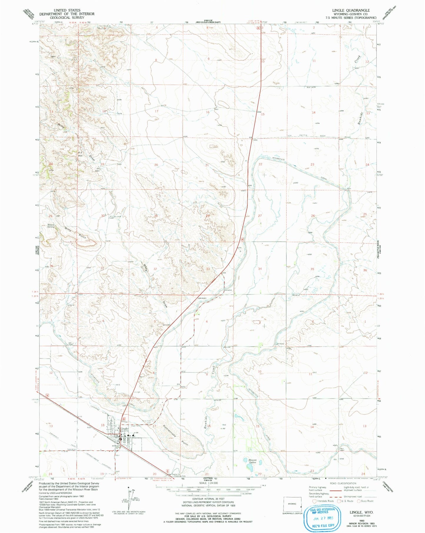
Classic USGS Lingle Wyoming 7.5'x7.5' Topo Map
Couldn't load pickup availability
Historical USGS topographic quad map of Lingle in the state of Wyoming. Map scale may vary for some years, but is generally around 1:24,000. Print size is approximately 24" x 27"
This quadrangle is in the following counties: Goshen.
The map contains contour lines, roads, rivers, towns, and lakes. Printed on high-quality waterproof paper with UV fade-resistant inks, and shipped rolled.
Contains the following named places: Bowen Spring, Goshen County Fire District 12 - Lingle Volunteer Fire Department Station 2, Hanna Lakes, Hillcrest Cemetery, Jones Pit, Lingle, Lingle - Fort Laramie Elementary School, Lingle - Fort Laramie Schools, Lingle Cemetery, Lingle Police Department, Lingle Post Office, Lingle Volunteer Fire Department Station 1, Lucerne Ditch, P-F Hill, Rattlesnake Point, Town of Lingle, Western Farms Pit, Willy Draw