MyTopo
Classic USGS Linn NE Texas 7.5'x7.5' Topo Map
Couldn't load pickup availability
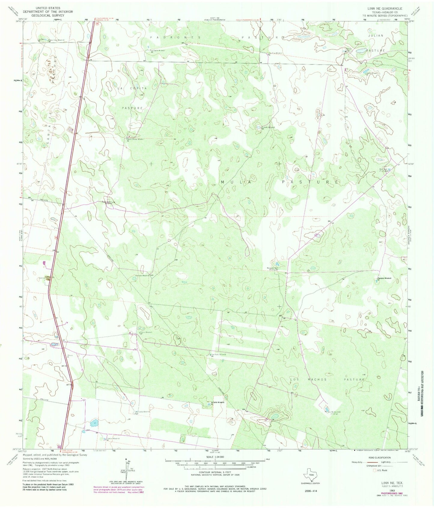
Historical USGS topographic quad map of Linn NE in the state of Texas. Map scale may vary for some years, but is generally around 1:24,000. Print size is approximately 24" x 27"
This quadrangle is in the following counties: Hidalgo.
The map contains contour lines, roads, rivers, towns, and lakes. Printed on high-quality waterproof paper with UV fade-resistant inks, and shipped rolled.
Contains the following named places: Adrien Windmill, Buena Vista Windmill, Cantinas Pens, Chorro Windmill, Colorado Windmill, El Golfo Windmill, Esteban Windmill, La Copita Pasture, La Copita Windmill, Los Machos Pasture, Los Machos Well, Maria Chavez Windmill, Mesquitin Well, Mula Pasture, Mula Well, San Carlos Windmill, San Pedro Windmill, Tampico Windmill, Todos Santos Windmill, Tres Pilas Windmill