MyTopo
Classic USGS Linton Lake Oregon 7.5'x7.5' Topo Map
Couldn't load pickup availability
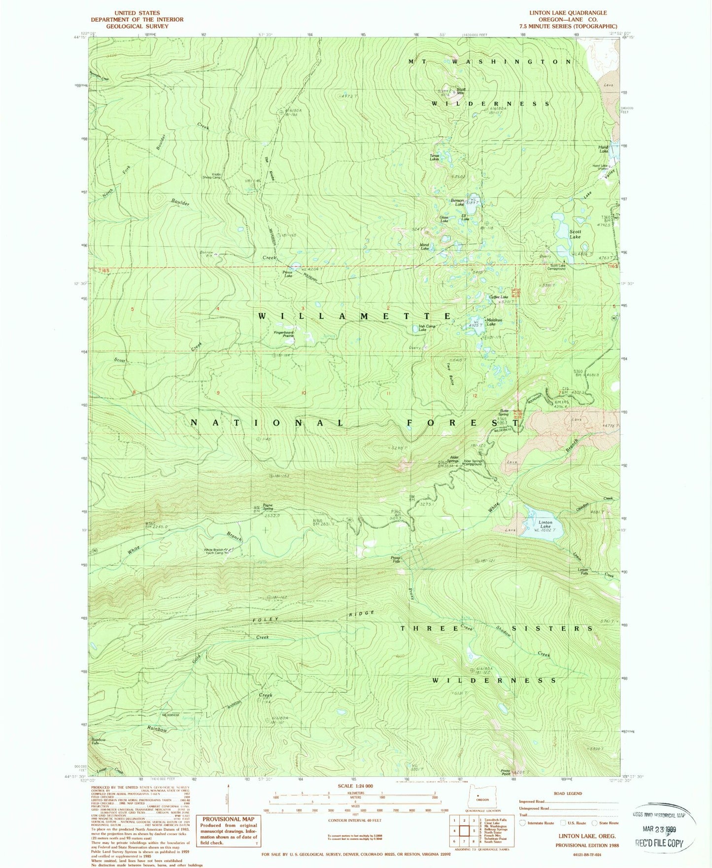
Historical USGS topographic quad map of Linton Lake in the state of Oregon. Typical map scale is 1:24,000, but may vary for certain years, if available. Print size: 24" x 27"
This quadrangle is in the following counties: Lane.
The map contains contour lines, roads, rivers, towns, and lakes. Printed on high-quality waterproof paper with UV fade-resistant inks, and shipped rolled.
Contains the following named places: Alder Springs, Benson Lake, Benson Trail, Butler Spring, Camp Melakwa, Coffee Lake, Deer Butte, Elf Lake, Fingerboard Prairie, Glaze Lake, Gold Creek, Hand Lake Trail, Irish Camp Lake, Island Lake, Knobs Sheep Camp, Linton Falls, Linton Lake, Lower Alder Springs Forest Camp (historical), Melakwa Lake, Payne Spring, Prince Lake, Proxy Creek, Proxy Falls, Proxy Point, Scott Lake, Scott Mountain, Shadow Creek, Tenas Lakes, Two Butte, White Branch Youth Camp, Alder Springs (historical), Spruce Meadow, The Knobs, Frog Camp Creek, Hand Lake, Lake Valley, Linton Creek, Obsidian Creek, Scott Lake Recreation Site, Butte Spring, Hand Lake Shelter, Foley Ridge, Melakwa Boy Scout Camp, Alder Springs Recreation Site


