MyTopo
Classic USGS Linton Kentucky 7.5'x7.5' Topo Map
Couldn't load pickup availability
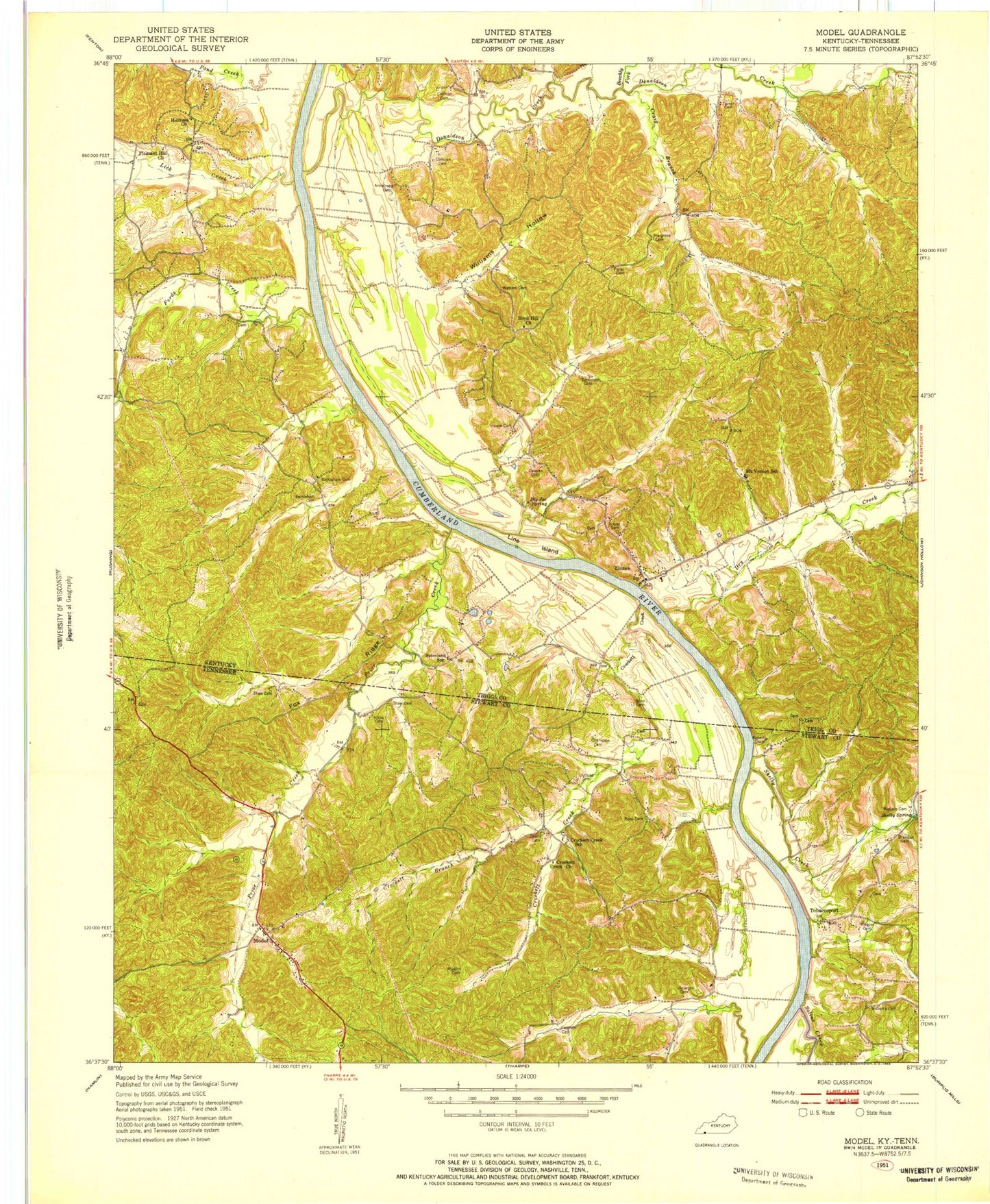
Historical USGS topographic quad map of Linton in the states of Kentucky, Tennessee. Typical map scale is 1:24,000, but may vary for certain years, if available. Print size: 24" x 27"
This quadrangle is in the following counties: Stewart, Trigg.
The map contains contour lines, roads, rivers, towns, and lakes. Printed on high-quality waterproof paper with UV fade-resistant inks, and shipped rolled.
Contains the following named places: Big Hurricane Creek, Big Joe Spring, Boyd Hill Church, Calhoun Hill Public Use Area, Craig Branch, Donaldson Creek, Donaldson Creek Public Use Area, Downs Branch, Dry Creek, Fords Bay, Fords Creek, Laura Furnace Creek, Lick Creek, Linton, Linton Public Use Area, Little Hurricane Creek, Mount Vernon Cemetery, Parsons Creek, Pleasant Hill Cemetery, Pryor Bay, Terrapin Creek, Turner Spring, West Fork Laura Furnace Creek, Williams Hollow, Pryor Creek, Linton Volunteer Fire Department, Fox Ridge, Saline Creek, Shelby Creek, Shelby Spring, Acree Creek, Crockett Bay, Crockett Creek, Hicks Cemetery, Jimerson Cemetery, Model, Outland Cemetery, Powell Branch, Pryor Bay, Rat Branch, Ross Branch, Tobaccoport Public Use Area, Crockett Branch, Brandon Cemetery, Buffalo Trail, Champion Cemetery, Cherry Cemetery, Crockett Creek Church (historical), Crockett Creek School (historical), Great Western Iron Furnace (historical), Kingins Cemetery, Roberts Cemetery, Ross Cemetery, Rowlett Branch, Shaw Cemetery, Shaw Cemetery, Pinner Spring Branch, The Homeplace, Tobaccoport Ferry (historical), Newt Wallace Cemetery, Wiggins Cemetery, Williams Cemetery, Tobaccoport, Model School (historical), Blaines Landing (historical), Riverside Landing (historical), Stewart County Volunteer Fire Service Station 11 Loon Bay, Big Hurricane Creek, Big Joe Spring, Boyd Hill Church, Calhoun Hill Public Use Area, Craig Branch, Donaldson Creek, Donaldson Creek Public Use Area, Downs Branch, Dry Creek, Fords Bay, Fords Creek, Laura Furnace Creek, Lick Creek, Linton, Linton Public Use Area, Little Hurricane Creek, Mount Vernon Cemetery, Parsons Creek, Pleasant Hill Cemetery, Pryor Bay, Terrapin Creek, Turner Spring, West Fork Laura Furnace Creek, Williams Hollow, Pryor Creek, Linton Volunteer Fire Department, Fox Ridge, Saline Creek, Shelby Creek, Shelby Spring, Acree Creek, Crockett Bay, Crockett Creek, Hicks Cemetery, Jimerson Cemetery, Model, Outland Cemetery, Powell Branch, Pryor Bay, Rat Branch, Ross Branch, Tobaccoport Public Use Area, Crockett Branch, Brandon Cemetery, Buffalo Trail, Champion Cemetery, Cherry Cemetery, Crockett Creek Church (historical), Crockett Creek School (historical), Great Western Iron Furnace (historical), Kingins Cemetery, Roberts Cemetery, Ross Cemetery, Rowlett Branch, Shaw Cemetery, Shaw Cemetery, Pinner Spring Branch, The Homeplace, Tobaccoport Ferry (historical), Newt Wallace Cemetery, Wiggins Cemetery, Williams Cemetery, Tobaccoport, Model School (historical), Blaines Landing (historical), Riverside Landing (historical), Stewart County Volunteer Fire Service Station 11 Loon Bay


