MyTopo
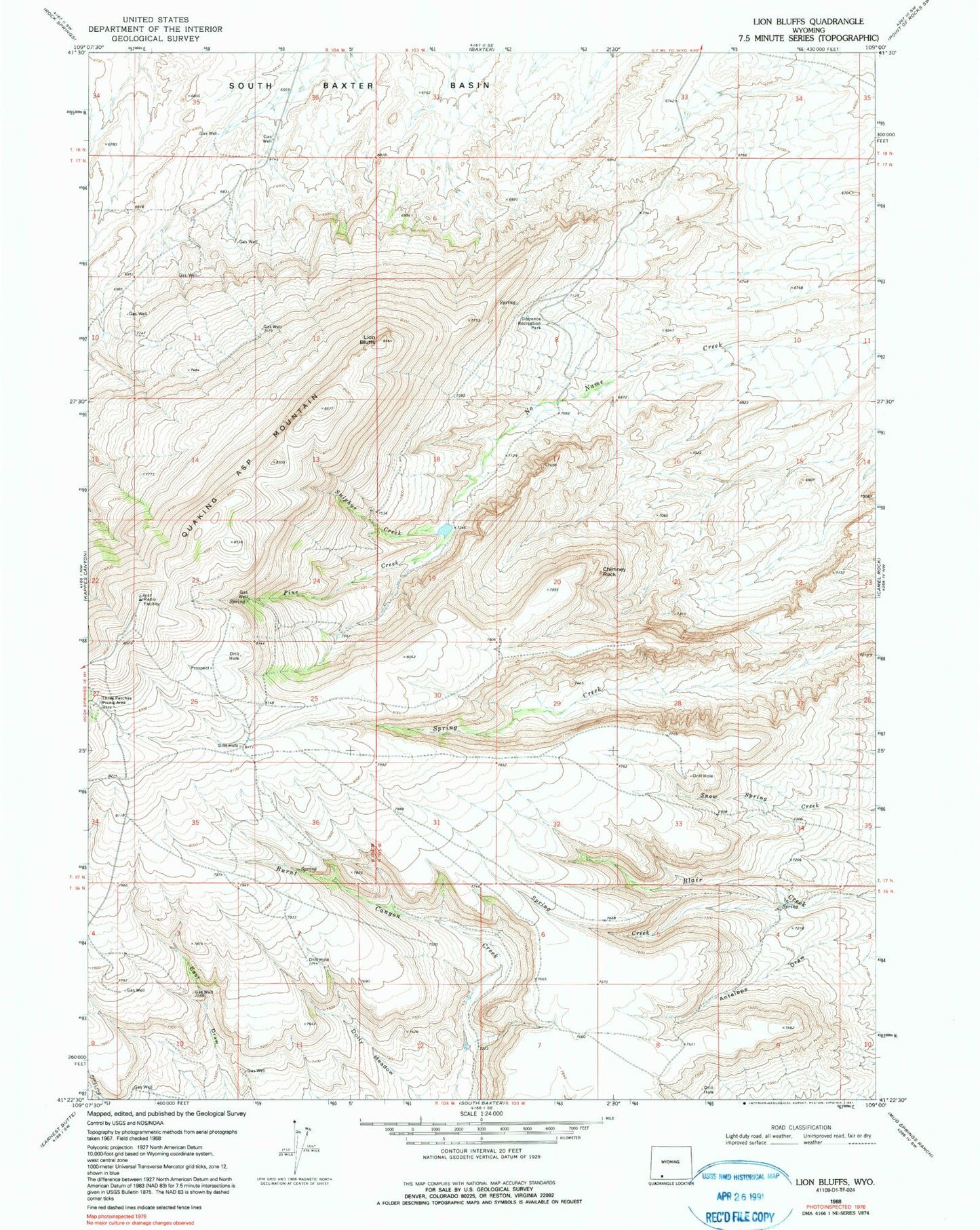
Classic USGS Lion Bluffs Wyoming 7.5'x7.5' Topo Map
Couldn't load pickup availability
Historical USGS topographic quad map of Lion Bluffs in the state of Wyoming. Map scale may vary for some years, but is generally around 1:24,000. Print size is approximately 24" x 27"
This quadrangle is in the following counties: Sweetwater.
The map contains contour lines, roads, rivers, towns, and lakes. Printed on high-quality waterproof paper with UV fade-resistant inks, and shipped rolled.
Contains the following named places: Aspen Mountain Mine, Chimney Rock, Circle, Dolly Meadow, Dorrence Recreation Park, KGWR-TV (Rock Springs), KQSW-FM (Rock Springs), KSIT-FM (Rock Springs), Lion Bluffs, Pine Creek, Quaking Asp Mountain, Spring Creek, Sulphur Creek, Sweeney Ranch, Sweeney Ranch Census Designated Place, Table, Three Patches Picnic Area