MyTopo
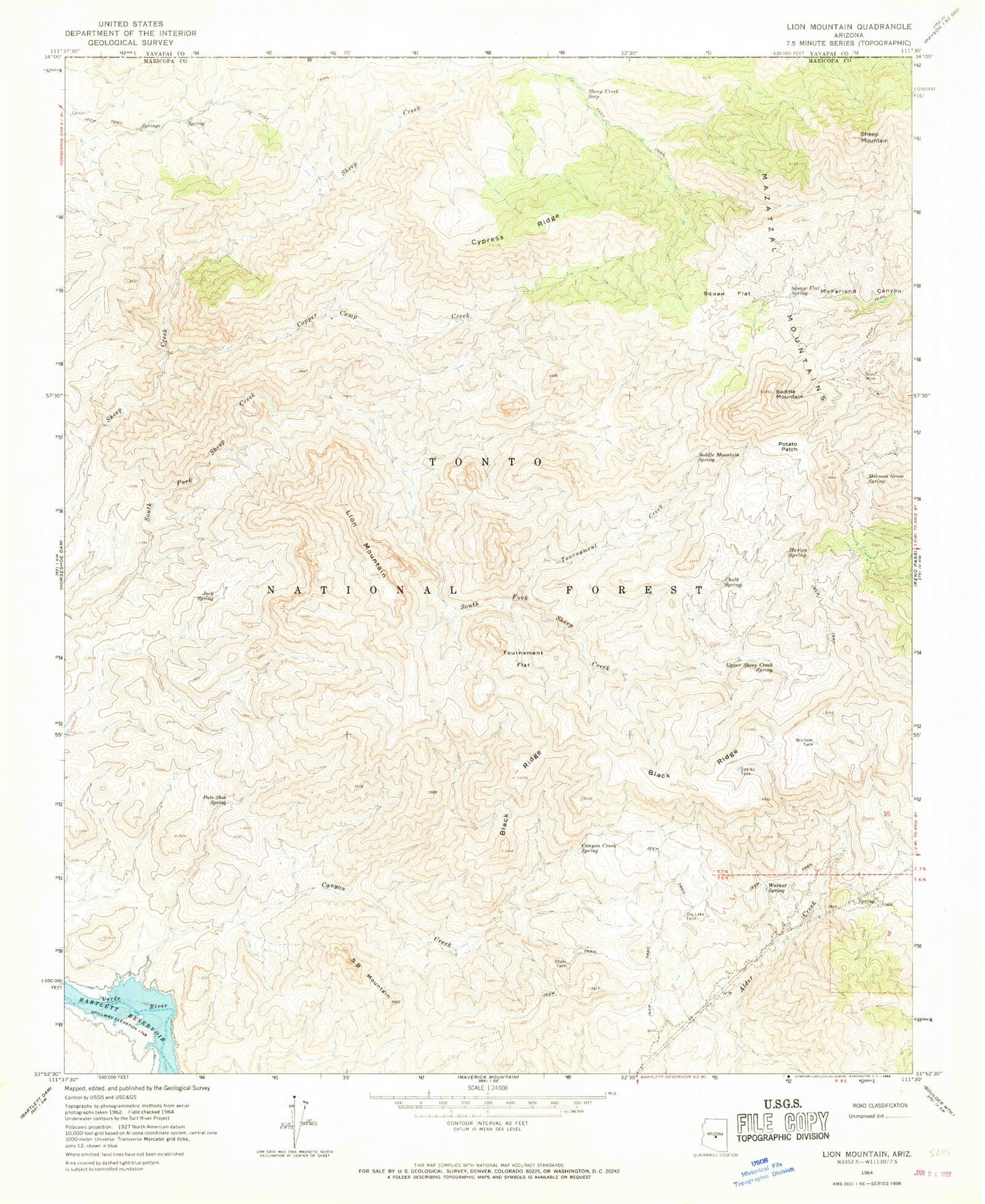
Classic USGS Lion Mountain Arizona 7.5'x7.5' Topo Map
Couldn't load pickup availability
Historical USGS topographic quad map of Lion Mountain in the state of Arizona. Map scale may vary for some years, but is generally around 1:24,000. Print size is approximately 24" x 27"
This quadrangle is in the following counties: Maricopa, Yavapai.
The map contains contour lines, roads, rivers, towns, and lakes. Printed on high-quality waterproof paper with UV fade-resistant inks, and shipped rolled.
Contains the following named places: Alder Creek Spring, Alder Spring, Black Ridge, Brunson Tank, Brush Spring, Canyon Creek, Canyon Creek Spring, Cat Bay, Chalk Spring, Chalk Spring Number Two, Chalk Tank, Cholla Spring, Copper Camp Creek, Copper Tank, Corral Water Spring, Cypress Ridge, Dripping Spring, Dripping Spring Number Two, Dry Lake Tank, Jack Spring, Lion Mountain, Lizard Spring, Lower Sheep Spring, Marion Spring, Marion Spring Number One, Middle Water, Mormon Grove Spring, Mormon Grove Trailhead, Pats Shoe Spring, Potato Patch, S B Mountain, Saddle Mountain, Saddle Mountain Spring, SB Cabin, Sheep Creek Seep, Sheep Mountain, Sparks Tank, Squaw Flat, Squaw Flat Spring, Story Mine, Tournament Creek, Tournament Flat, Trap Spring, Upper Alder Creek Spring, Upper Sheep Creek Spring, Walnut Spring