MyTopo
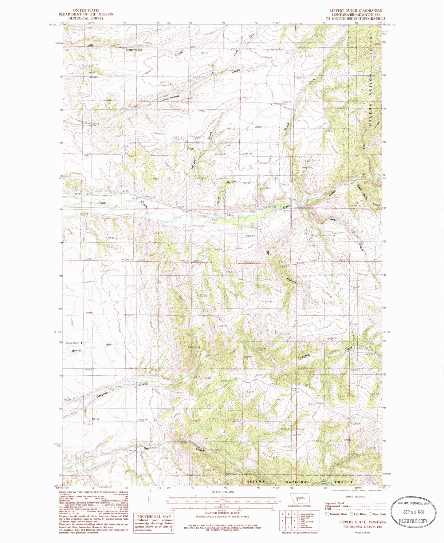
Classic USGS Lippert Gulch Montana 7.5'x7.5' Topo Map
Couldn't load pickup availability
Historical USGS topographic quad map of Lippert Gulch in the state of Montana. Map scale may vary for some years, but is generally around 1:24,000. Print size is approximately 24" x 27"
This quadrangle is in the following counties: Broadwater.
The map contains contour lines, roads, rivers, towns, and lakes. Printed on high-quality waterproof paper with UV fade-resistant inks, and shipped rolled.
Contains the following named places: 06N03E04AC__01 Well, 06N03E04BC__01 Well, 06N03E05DD__01 Well, 06N03E08AD__01 Well, 06N03E09BB__01 Well, 06N03E17DA__01 Well, 07N03E14AD__01 Well, 07N03E14AD__02 Well, 07N03E14BD__01 Well, 07N03E14BD__02 Well, 07N03E14BD__03 Well, 07N03E14DD__01 Well, 07N03E15DD__01 Well, 07N03E15DD__02 Well, 07N03E24AB__01 Well, 07N03E25DABB01 Well, 07N03E28CC__01 Well, 07N03E28DB__01 Well, 07N03E28DC__01 Well, 07N03E32AA__01 Well, 07N03E32AA__02 Well, 07N03E33BA__01 Well, 07N03E34BA__01 Well, Bear Gulch, Black Butte Gulch, Clark Ranch, Clover Crest Airpark, Cottonwood School, Deep Creek Pavillion, Deep Creek Ranger Station, Dry Creek School, Dry Hollow, East Glenwood School, Flume Hollow, Goodwin Ranch, Kieckbusch Homestead, Kieckbusch Ranch, Lippert Gulch, North Fork Cottonwood Creek, North Fork Deep Creek, Ross Gulch, Upper Deep Creek School, Walter Ranch, Williams Ranch


