MyTopo
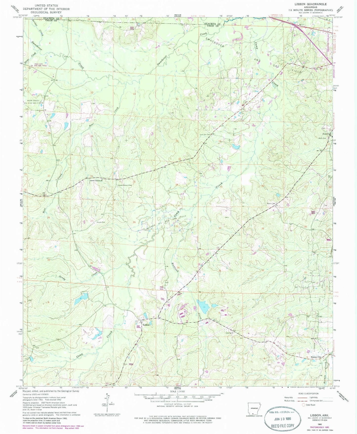
Classic USGS Lisbon Arkansas 7.5'x7.5' Topo Map
Couldn't load pickup availability
Historical USGS topographic quad map of Lisbon in the state of Arkansas. Map scale may vary for some years, but is generally around 1:24,000. Print size is approximately 24" x 27"
This quadrangle is in the following counties: Ouachita, Union.
The map contains contour lines, roads, rivers, towns, and lakes. Printed on high-quality waterproof paper with UV fade-resistant inks, and shipped rolled.
Contains the following named places: Anderson Cemetery, Bear Creek, Bear Creek Oil and Gas Field, Bert Creek, Bridge Creek, Brushy Creek, Camp Creek, Coulter Cemetery, Darden Mill, Davis Cemetery, Dry Run School, Dumas City, Flournoy Mill, Hicks Cemetery, Howard Cemetery, Lake Lisbon, Lake Lisbon Dam, Lisbon, Lisbon Cemetery, Lisbon Oil and Gas Field, Lisbon Post Office, Lisbon School, Lisbon United Methodist Church, Lone Oak Cemetery, Richland Creek, Rose Hill School, Salem Cemetery, Sandy Creek, Scott - Young Cemetery, Silver Creek, Sowell Lake, Sowell Lake Dam, Sweet Canaan Cemetery, Sweet Canaan Church, Sweet Home Church, Swilley Chapel, Township of Van Buren, Yocum Cemetery, ZIP Code: 71762