MyTopo
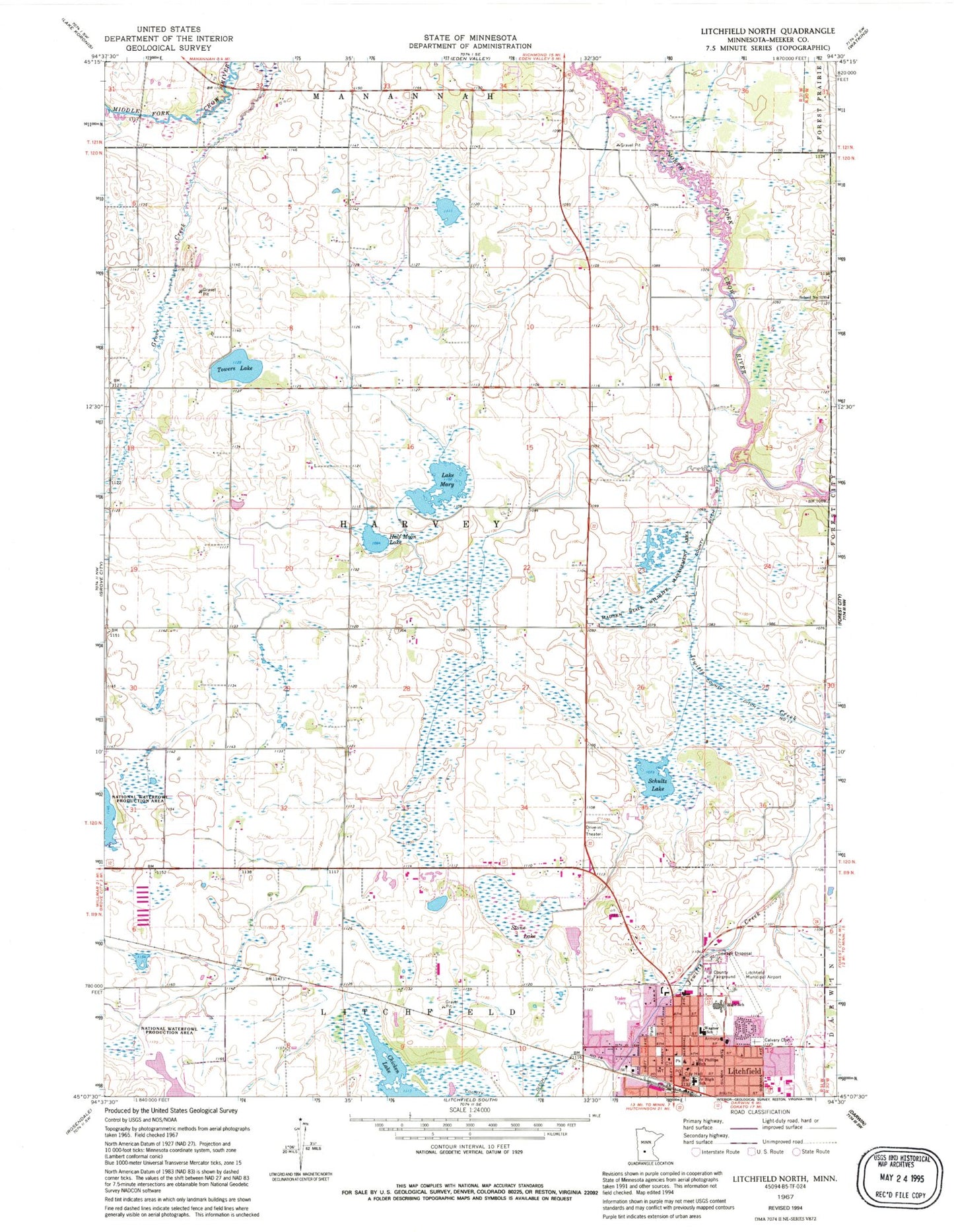
Classic USGS Litchfield North Minnesota 7.5'x7.5' Topo Map
Couldn't load pickup availability
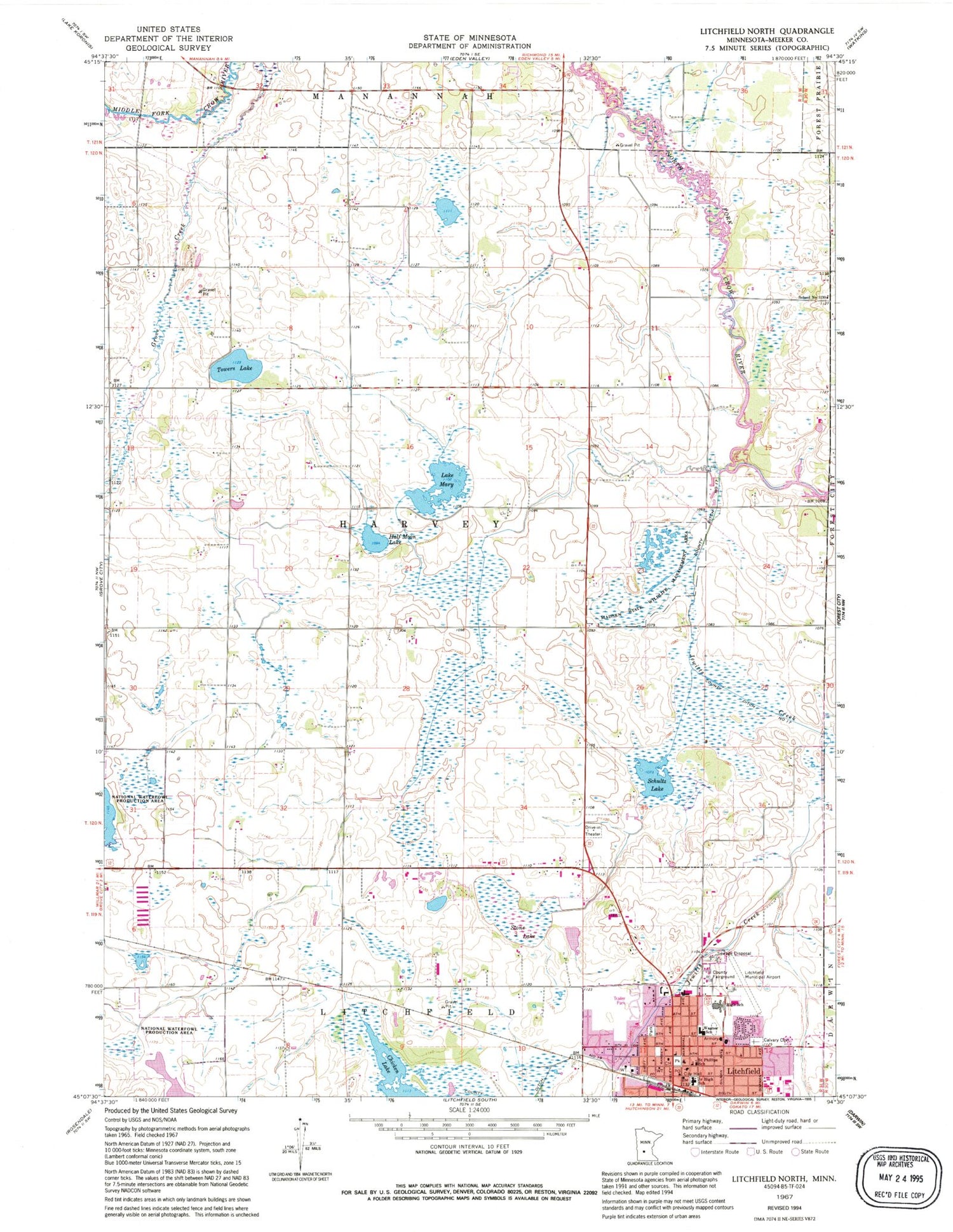
Historical USGS topographic quad map of Litchfield North in the state of Minnesota. Map scale may vary for some years, but is generally around 1:24,000. Print size is approximately 24" x 27"
This quadrangle is in the following counties: Meeker.
The map contains contour lines, roads, rivers, towns, and lakes. Printed on high-quality waterproof paper with UV fade-resistant inks, and shipped rolled.
Contains the following named places: Assembly of God Church, Augustana Lutheran Homes, Calvary Cemetery, Central Park, Chicken Lake, Church of the Nazarene, County Ditch Number Nineteen, County Ditch Number Seventeen, First Baptist Church, First Presbyterian Church, Fortun Farms, G A R Hall Historical Marker, Half Moon Lake, Immanuel Lutheran Church, Kingdom of Jehovahs Witnesses, Lake Mary, Litchfield, Litchfield Christian Church, Litchfield City Hall, Litchfield Fire Department, Litchfield High School, Litchfield Junior High School, Litchfield Middle School, Litchfield Police Department, Litchfield Post Office, Litchfield Public Library, Litchfield Rescue Squad, Litchfield Senior High School, Litchfield Seventh Day Adventist Church, Madsen State Wildlife Management Area, Meeker County Courthouse, Meeker County Fairgrounds, Meeker County Historical Society Museum, Meeker County Jail, Meeker County Sheriff Department, Meeker County Sheriff's Office, Northside Park, Optimist Baseball Park, Park Village Mobile Home Park, Reflection Farm, Saint Phillip's Church, School Number 1130, School of Saint Philip, Schultz Lake, Starlite Drive-In, Stone Lake, Towers Lake, Township of Harvey, Trinity Episcopal Church, Wagner School, Weseman Farms, Zion Lutheran Church


