MyTopo
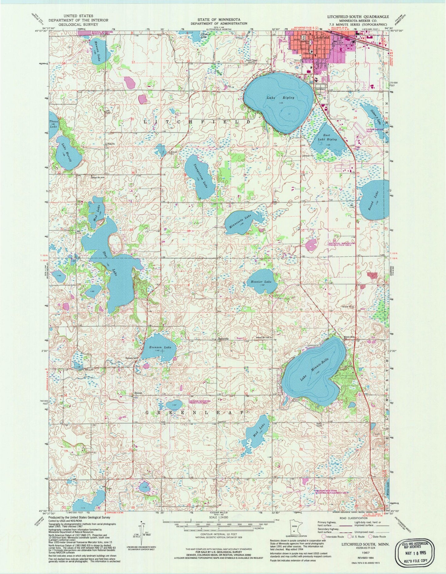
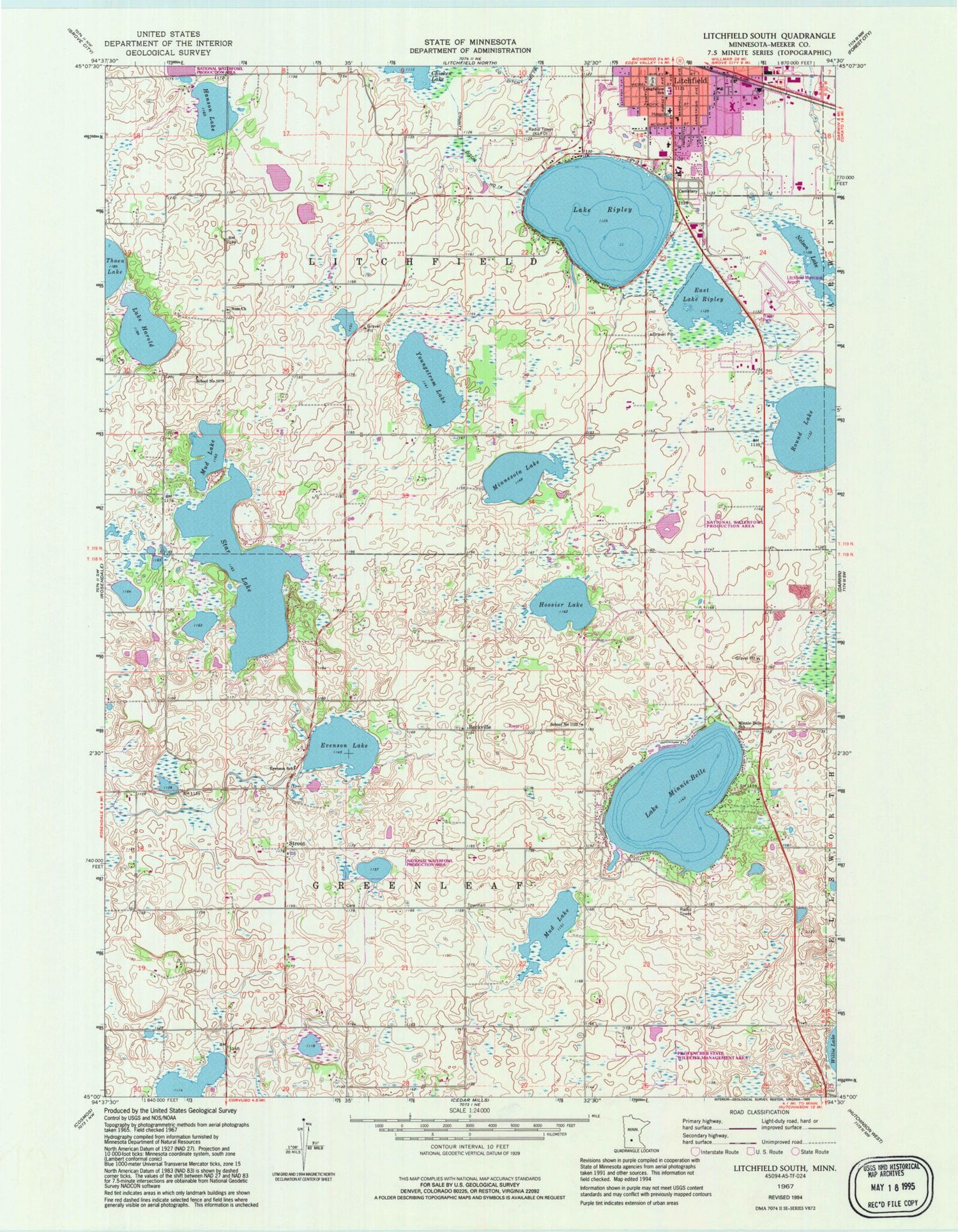
Classic USGS Litchfield South Minnesota 7.5'x7.5' Topo Map
Couldn't load pickup availability
Historical USGS topographic quad map of Litchfield South in the state of Minnesota. Map scale may vary for some years, but is generally around 1:24,000. Print size is approximately 24" x 27"
This quadrangle is in the following counties: Meeker.
The map contains contour lines, roads, rivers, towns, and lakes. Printed on high-quality waterproof paper with UV fade-resistant inks, and shipped rolled.
Contains the following named places: Affiliated Medical Center, Allina Medical Clinic at Litchfield, Anderson Gardens, Barka Dairy, Becker Park, Beckville, Beckville Lutheran Cemetery, Beckville Lutheran Church, Bethania Church Cemetery, Church of God, City of Litchfield, County Ditch Number Eighteen, East Lake Ripley, Emmanuel Home, Evenson Lake, Evenson School, Evergreen Mobile Home Park, First Lutheran Church, Gold Cross Ambulance Litchfield, Hanson Lake, Hoosier Lake, Jewett Creek, KMXK-FM (Litchfield), KQIV-AM (Litchfield), L & M Aerodrome, Ladybird Park, Lake Andrew Nelson, Lake Harold, Lake Harold Post Office, Lake Minnie-Belle, Lake Ripley, Lake Ripley Campground, Lake Ripley Cemetery, Lake Ripley Elementary School, Litchfield Golf Club, Litchfield Mobile Home Park, Litchfield Municipal Airport, Litchfield United Methodist Church, Longfellow School, Manning School, Meeker County, Meeker County Memorial Hospital, Meeker County Memorial Hospital Heliport, Meeker Memorial Hospital, Memorial Park, Minnesota Lake, Minnie-Belle School, Mud Lake, Nelson Farm, Ness Cemetery, Ness Church, Ness Lutheran Cemetery State Monument, Ness Lutheran Church and Ness Memorial Cemetery Historical Marker, Prairie Park, Round Lake, Saint Paul's Evangelical Lutheran Church, School Number 1079, School Number 1122, Southside Park, Star Lake, Strout, Strout Post Office, Swedish Baptist Cemetery, Township of Greenleaf, Township of Litchfield, Youngstrom Lake, ZIP Code: 55355


