MyTopo
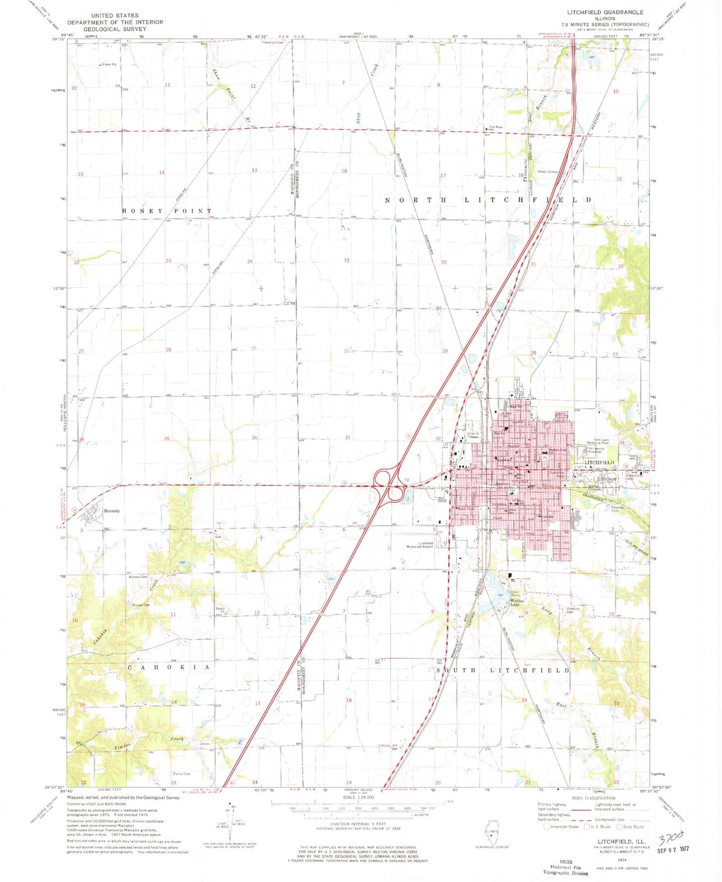
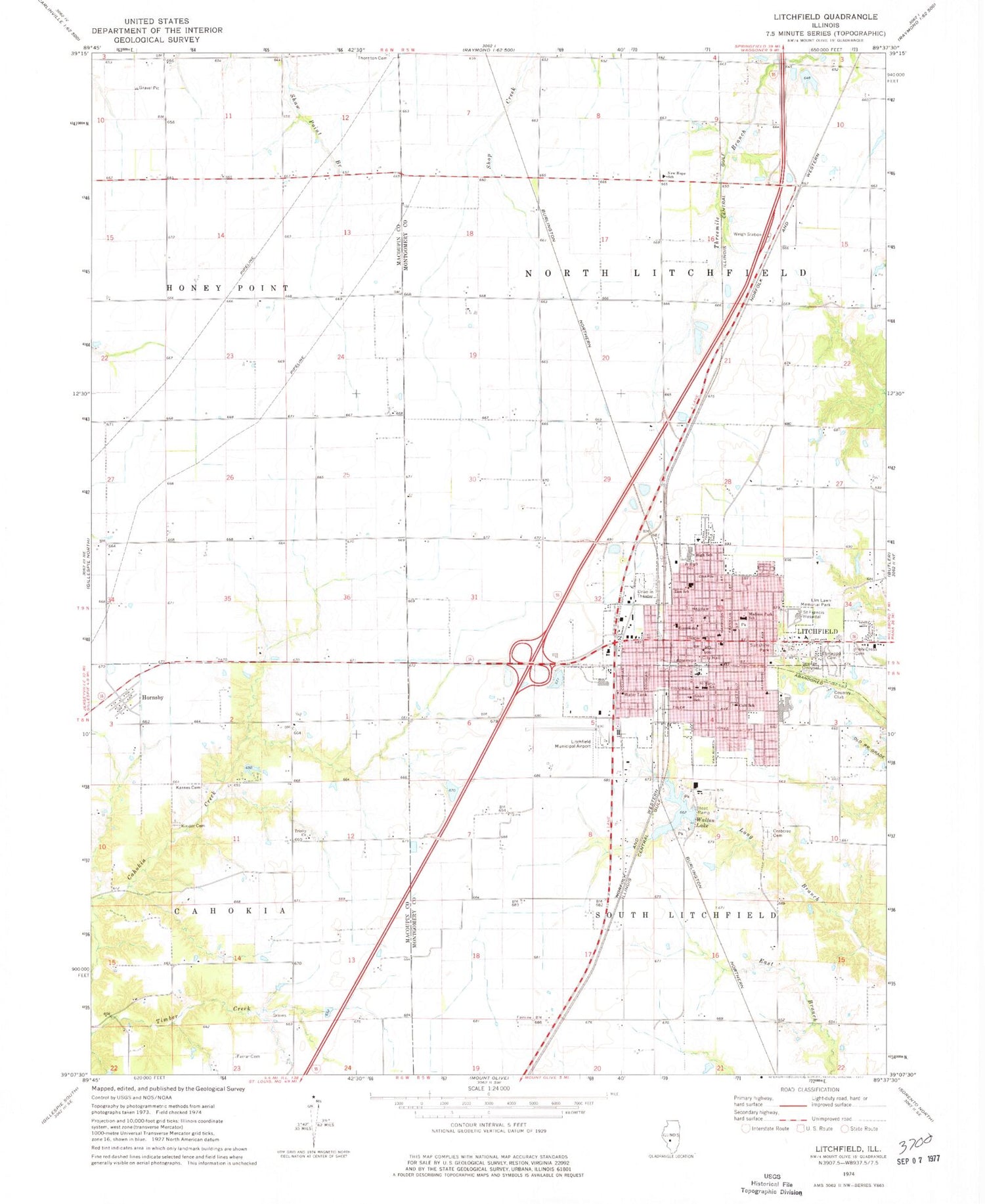
Classic USGS Litchfield Illinois 7.5'x7.5' Topo Map
Couldn't load pickup availability
Historical USGS topographic quad map of Litchfield in the state of Illinois. Map scale may vary for some years, but is generally around 1:24,000. Print size is approximately 24" x 27"
This quadrangle is in the following counties: Macoupin, Montgomery.
The map contains contour lines, roads, rivers, towns, and lakes. Printed on high-quality waterproof paper with UV fade-resistant inks, and shipped rolled.
Contains the following named places: Arch Air Medical Litchfield Base, Beacon School, Brown School, Crabtree Cemetery, Elm Lawn Memorial Park, Elmwood Cemetery, Fairview School, Farrar Cemetery, First Assembly of God Church, First Baptist Church, First Presbyterian Church, Hardenburg School, Holy Cross Cemetery, Hornsby, HSHS Saint Francis Hospital, Illinois State Police Department District 18, J D Colt Elementary School, Karnes Cemetery, Kilton Lake, Kilton Lake Dam, Kinder Cemetery, Lake Erie School, Litchfield, Litchfield Carnegie Public Library, Litchfield City Hall, Litchfield Fire Department Station 1, Litchfield Fire Department Station 2, Litchfield Industrial Park, Litchfield Middle School, Litchfield Municipal Airport, Litchfield Police Department, Litchfield Post Office, Litchfield Senior High School, Long Branch School, Madison Park, Madison Park Elementary School, Montgomery County Courthouse, Mount Zion Lutheran Church, New Hope School, Ritchie School, Route Sixty-Six Industrial Park, Russell Elementary School, Saint Aloysius Roman Catholic Church, Saint Marys Catholic Church, Saint Marys School, Saint Timothy United Methodist Church, School Number 56, Seventh Day Church of God, Sihler Elementary School, Sky View Drive-In, South Side Baptist Church, Sunnyside School, Sunshine Park, Timber Creek, Township of North Litchfield, Township of South Litchfield, Trinity Church, Union Avenue Christian Church, Walton Lake, Walton Park, Walton Park Lake Dam, West Point School, Zion Lutheran Church, Zion Lutheran School, ZIP Code: 62056


