MyTopo
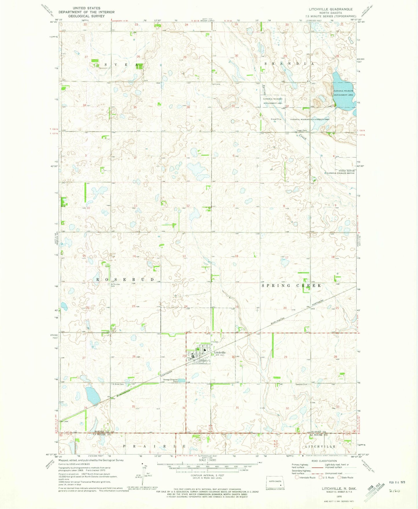
Classic USGS Litchville North Dakota 7.5'x7.5' Topo Map
Couldn't load pickup availability
Historical USGS topographic quad map of Litchville in the state of North Dakota. Map scale may vary for some years, but is generally around 1:24,000. Print size is approximately 24" x 27"
This quadrangle is in the following counties: Barnes, LaMoure.
The map contains contour lines, roads, rivers, towns, and lakes. Printed on high-quality waterproof paper with UV fade-resistant inks, and shipped rolled.
Contains the following named places: Barnes County Waterfowl Production Area, City of Litchville, Litchville, Litchville Community Museum, Litchville Fire Station, Litchville Post Office, Litchville-Marion Elementary School, Saint Anns Cemetery, Saint Thomas Cemetery, Swedish Cemetery, Trager Dam, ZIP Code: 58461