MyTopo
Classic USGS Lithia Florida 7.5'x7.5' Topo Map
Couldn't load pickup availability
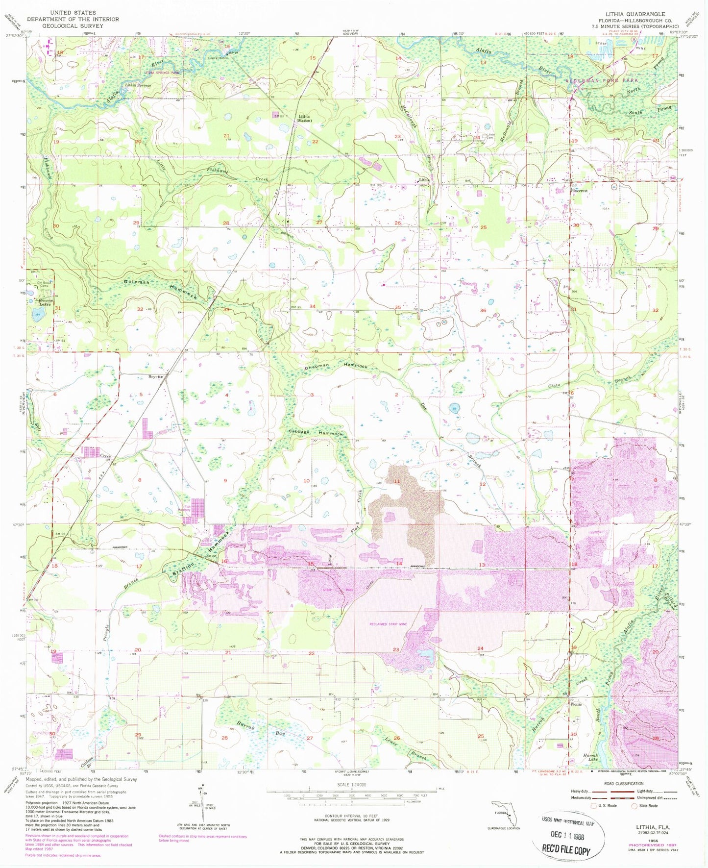
Historical USGS topographic quad map of Lithia in the state of Florida. Typical map scale is 1:24,000, but may vary for certain years, if available. Print size: 24" x 27"
This quadrangle is in the following counties: Hillsborough.
The map contains contour lines, roads, rivers, towns, and lakes. Printed on high-quality waterproof paper with UV fade-resistant inks, and shipped rolled.
Contains the following named places: Browns Lakes, Cabbage Hammock, Chapman Hammock, Coleman Hammock, Doe Branch, Fishhawk Creek, Hurrah Bay, Hurrah Creek, Hurrah Lake, Lithia, Lithia, Lithia Cemetery, Lithia Springs, Little Fishhawk Creek, Long Flat Creek, McCollough Branch, McDonald Branch, North Prong Alafia River, Picnic, Pinecrest, Pollard Branch, Pringle Branch, South Prong Alafia River, Stallion Hammock, Boyette, Pinecrest Elementary School, Aldermans Ford, South Boyette Railroad Station, WMNF-FM (Tampa), WBVM-FM (Tampa), WYNF-FM (Tampa), WTVT-TV (Tampa), Fish Hawk, Wimauma-Lithia Division, Bevis Elementary School, Cimino Elementary School, Hillsborough County Fire Rescue Station 2 Lithia, Fish Hawk Census Designated Place, Devore Gundog and Equestrian Estates, Dixon Country Estates, Doe Branch, Doe Creek Reserve, Dorman Acres, Dorman Meadows, Dorman Ranch, Fish Hawk Farms, Fish Hawk Trails, Fishhawk Ranch, Candlewood Acres, Capitano Estates, Climer Estates, Conway Estates, Lightfoot Acres, Lithia Estates, Lithia Pines, Lithia Ranch, Lynn Estates, Mannhurst Oak Manors, Great Oaks, Hammock Oaks Reserve, Hendry Estates, Hinton Ranch, Holland Acres, Hood Manor Estates, Jacobs Run, Karlson Acres, Kavita Estates, Princess Estates, Martindale Acres, Miller Estates, Natures Place, Parkside Village, Wendel Wood, Serenity Acres, Shelley Lakes Estates, South County Estates, Streetman Acres, Tierra de Amigos, Villages At Lithia, Lithia Post Office, Fishhawk Creek Elementary School, Aldermans Ford Park, Wimauma-Riverview Division, Stanchester Airport


