MyTopo
Classic USGS Lithium Missouri 7.5'x7.5' Topo Map
Couldn't load pickup availability
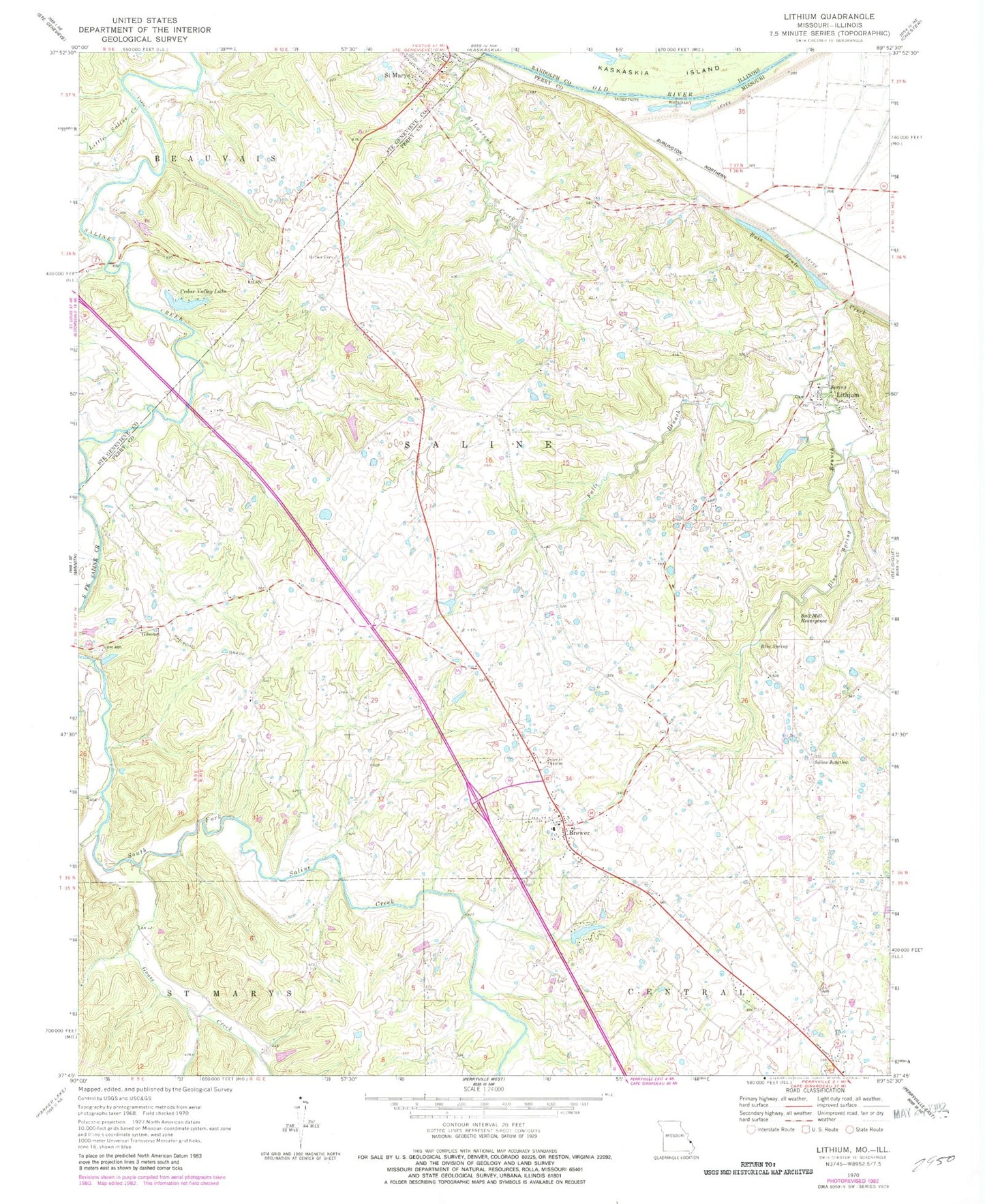
Historical USGS topographic quad map of Lithium in the state of Missouri. Map scale may vary for some years, but is generally around 1:24,000. Print size is approximately 24" x 27"
This quadrangle is in the following counties: Perry, Randolph, Ste. Genevieve.
The map contains contour lines, roads, rivers, towns, and lakes. Printed on high-quality waterproof paper with UV fade-resistant inks, and shipped rolled.
Contains the following named places: Ball Mill Resurgence, Blue Spring, Blue Spring Branch, Bois Brule School, Brewer, Brewer Census Designated Place, Brown Cemetery, Cedar Fork, Cedar Valley Lake, Cedar Valley Lake Dam, Circle K Dam, Circle K Ranch Lake, Cissell School, City of Saint Mary, Colfelt Branch, Ellis Lake Dam, Falls Branch, Giboney, Goose Creek, Guethle School, Guittar Hollow, Knob School, Lach Difani Dam, Lakenan Lake Dam, Lithium, Lithium Census Designated Place, Lithium Spring, Little Saline Creek, Mattingly School, Moranville School, Perryville Junction, Rock Valley Lake, Rock Valley Lake Dam, Saint Laurent Creek, Saint Mary Volunteer Fire Department, Saline Junction, Thompson School, Township of Saline, Tucker School, Village of Lithium, ZIP Code: 63673