
MyTopo
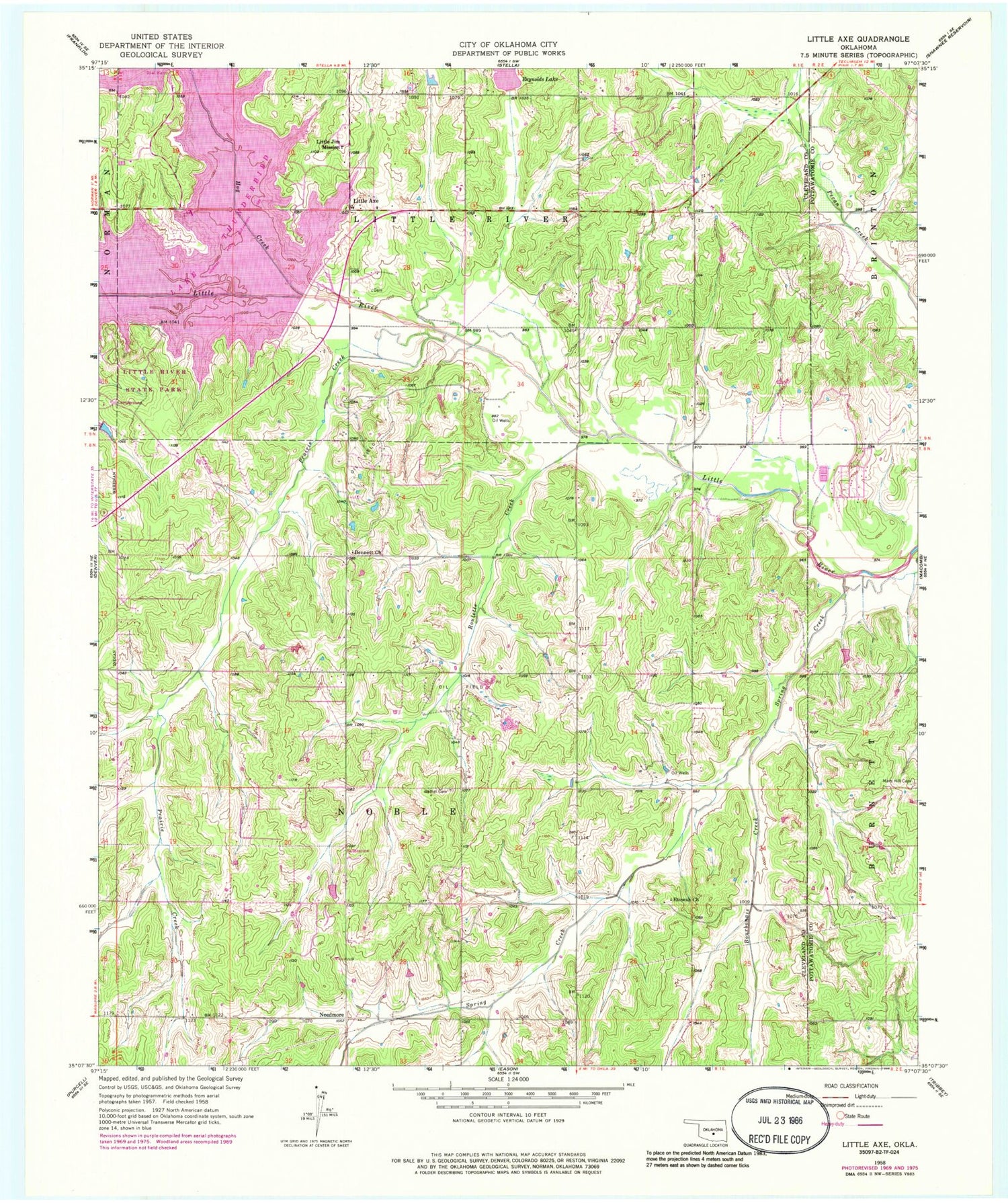
Classic USGS Little Axe Oklahoma 7.5'x7.5' Topo Map
Couldn't load pickup availability
Historical USGS topographic quad map of Little Axe in the state of Oklahoma. Map scale may vary for some years, but is generally around 1:24,000. Print size is approximately 24" x 27"
This quadrangle is in the following counties: Cleveland, Pottawatomie.
The map contains contour lines, roads, rivers, towns, and lakes. Printed on high-quality waterproof paper with UV fade-resistant inks, and shipped rolled.
Contains the following named places: Bennett Church, Bethel Cemetery, Bourbonais Creek, Cedar Country Fire Department Station 1, East Cleveland Division, Etowah, Etowah Church, Hickory Hills Airport, Hog Creek, Lake Thunderbird, Lake Thunderbird Dam, Lakeside Free Will Baptist Church, Little Axe, Little Axe Elementary School, Little Axe High School, Little Axe Middle School, Little Jim Mission, Little River State Park, Mars Hill Cemetery, Needmore, Norman Fire Department Station 5, Oknoname 12513 Dam, Oknoname 12513 Reservoir, Prairie Creek, Reynolds Lake, Reynolds Lake Dam, Roulette Creek, Spring Creek, Town of Etowah, Township of Little River


