
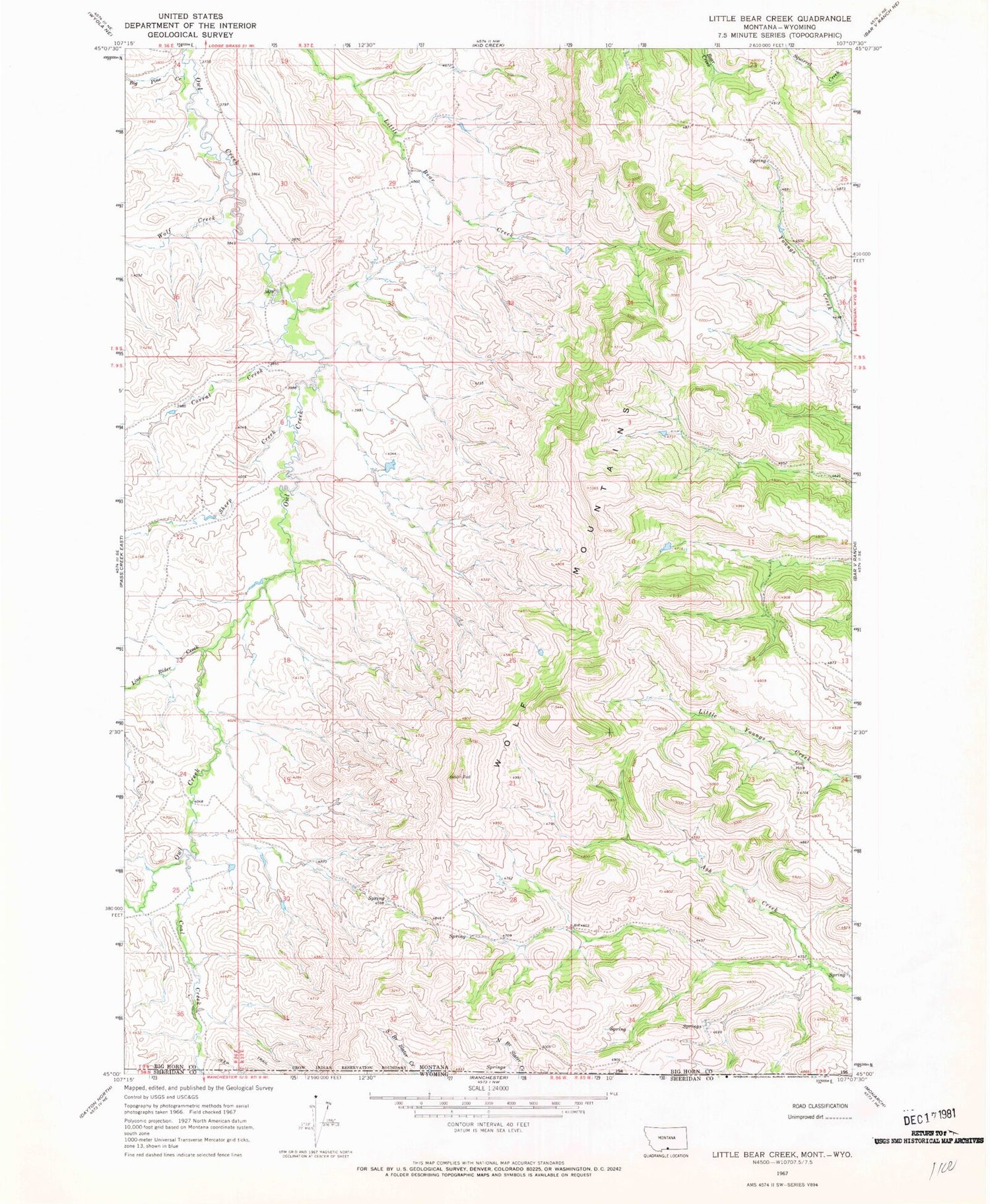
MyTopo
Classic USGS Little Bear Creek Montana 7.5'x7.5' Topo Map
Regular price
$16.95
Regular price
Sale price
$16.95
Unit price
per
Couldn't load pickup availability
Historical USGS topographic quad map of Little Bear Creek in the state of Montana. Map scale may vary for some years, but is generally around 1:24,000. Print size is approximately 24" x 27"
This quadrangle is in the following counties: Big Horn, Sheridan.
The map contains contour lines, roads, rivers, towns, and lakes. Printed on high-quality waterproof paper with UV fade-resistant inks, and shipped rolled.
Contains the following named places: 08S37E26ACAC01 Spring, 09S38E27BCDC01 Well, Big Pine Creek, Coal Creek, Corral Creek, Line Rider Creek, Sheep Creek, Wolf Creek


