MyTopo
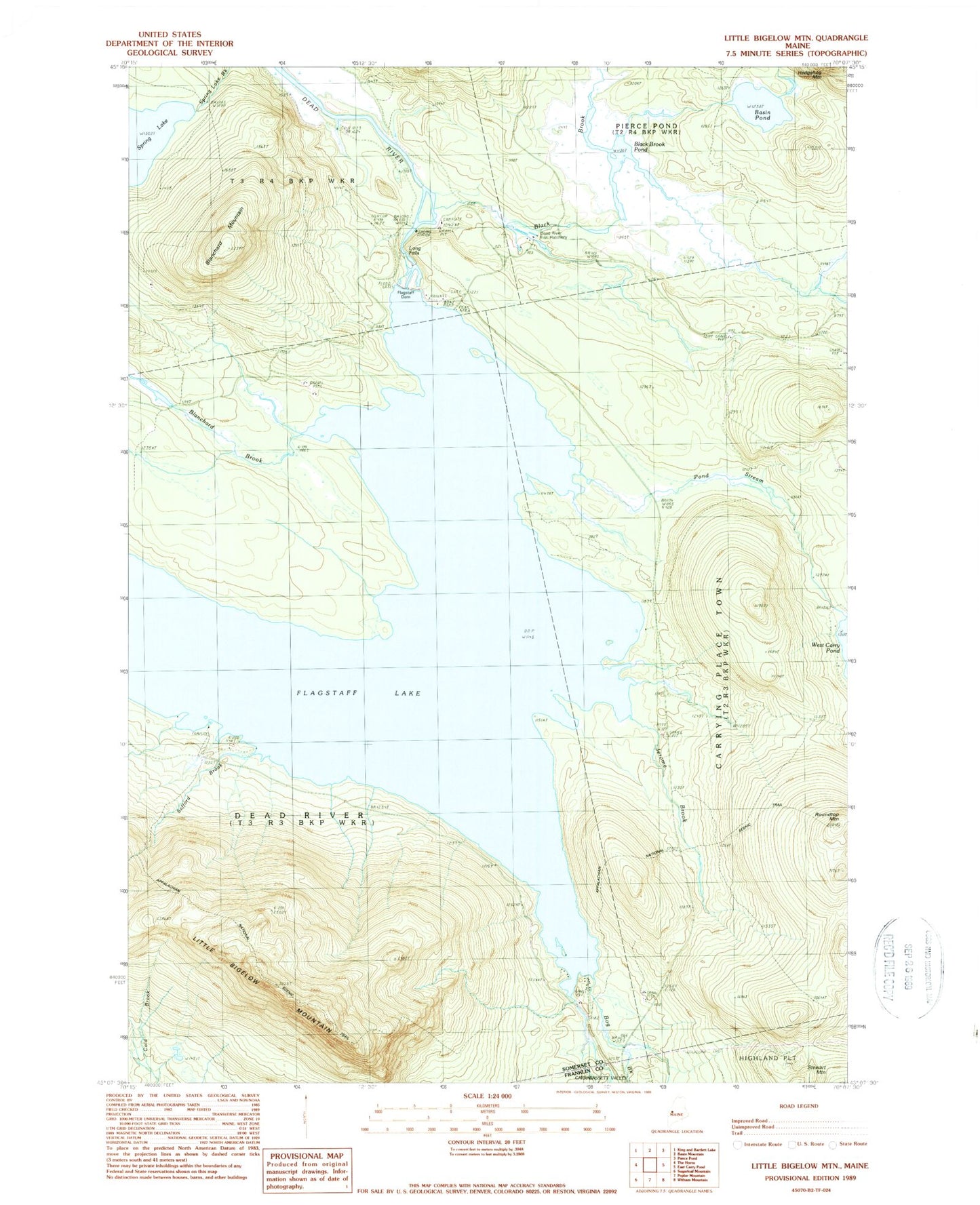
Classic USGS Little Bigelow Mountain Maine 7.5'x7.5' Topo Map
Couldn't load pickup availability
Historical USGS topographic quad map of Little Bigelow Mountain in the state of Maine. Typical map scale is 1:24,000, but may vary for certain years, if available. Print size: 24" x 27"
This quadrangle is in the following counties: Franklin, Somerset.
The map contains contour lines, roads, rivers, towns, and lakes. Printed on high-quality waterproof paper with UV fade-resistant inks, and shipped rolled.
Contains the following named places: Basin Pond, Black Brook, Black Brook Pond, Blanchard Brook, Blanchard Mountain, Bog Brook, Dead River Fish Hatchery, Flagstaff Cemetery, Jerome Brook, Little Bigelow Mountain, Long Falls, Pond Stream, Roundtop Mountain, Safford Brook, Longfalls Dam, Black Brook Dam, Dead River Township