MyTopo
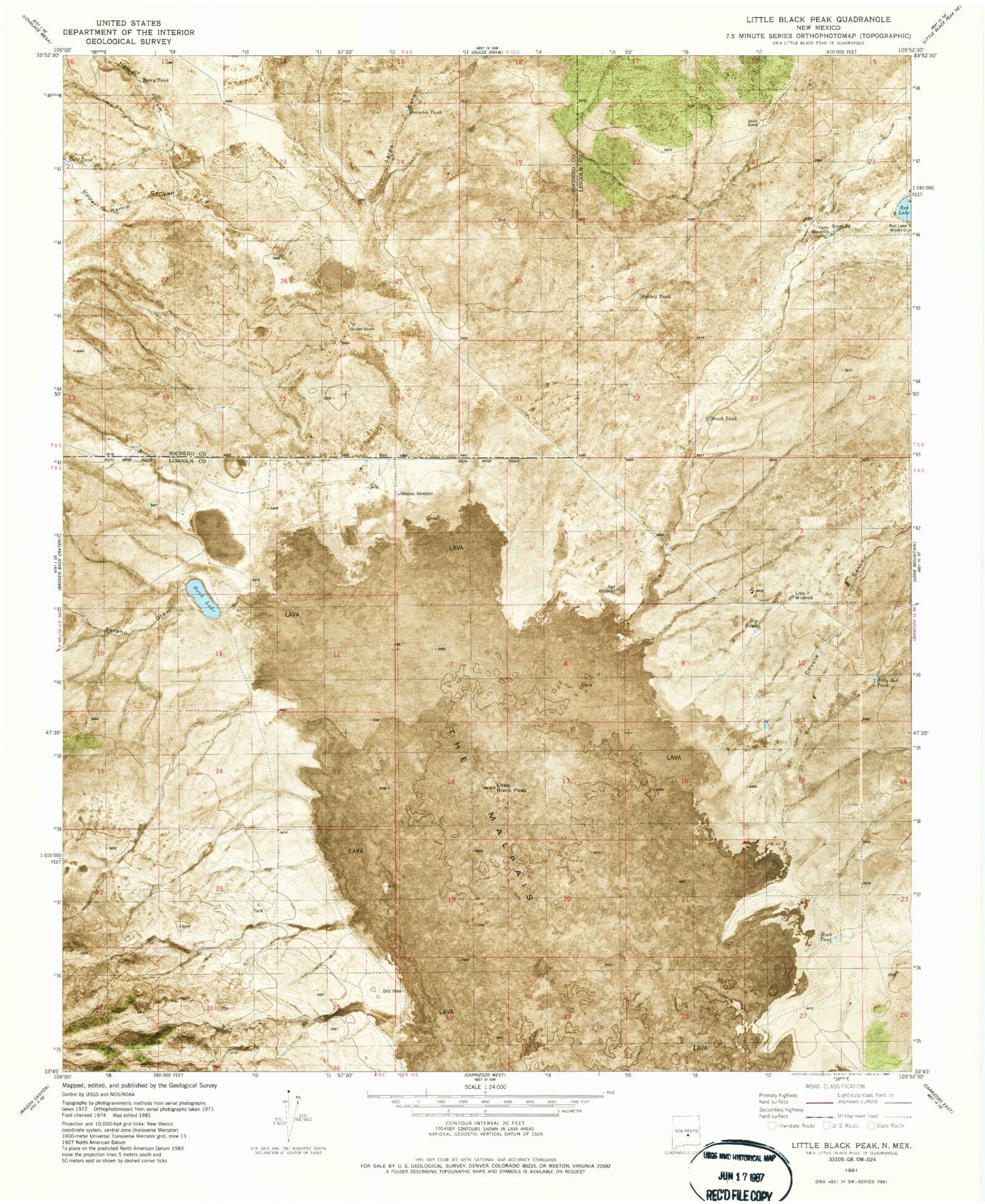
Classic USGS Little Black Peak New Mexico 7.5'x7.5' Topo Map
Couldn't load pickup availability
Historical USGS topographic quad map of Little Black Peak in the state of New Mexico. Map scale may vary for some years, but is generally around 1:24,000. Print size is approximately 24" x 27"
This quadrangle is in the following counties: Lincoln, Socorro.
The map contains contour lines, roads, rivers, towns, and lakes. Printed on high-quality waterproof paper with UV fade-resistant inks, and shipped rolled.
Contains the following named places: 10001 Water Well, Ashbey Tank, Big Tank, Billy Bob Tank, Duck Lake, Farm Windmill, Galcher Ranch, Grumble Tank, Harvey Draw, Little Black Peak, Little Black Peak/Carrizozo Lava Flow Wilderness Study Area, Malpais Windmill, Red Lake, Red Lake Windmill, Red Windmill, Rock Tank, Serno Draw, South Tank, Upper Ranch Canyon