MyTopo
Classic USGS Little Catherine Creek Oregon 7.5'x7.5' Topo Map
Couldn't load pickup availability
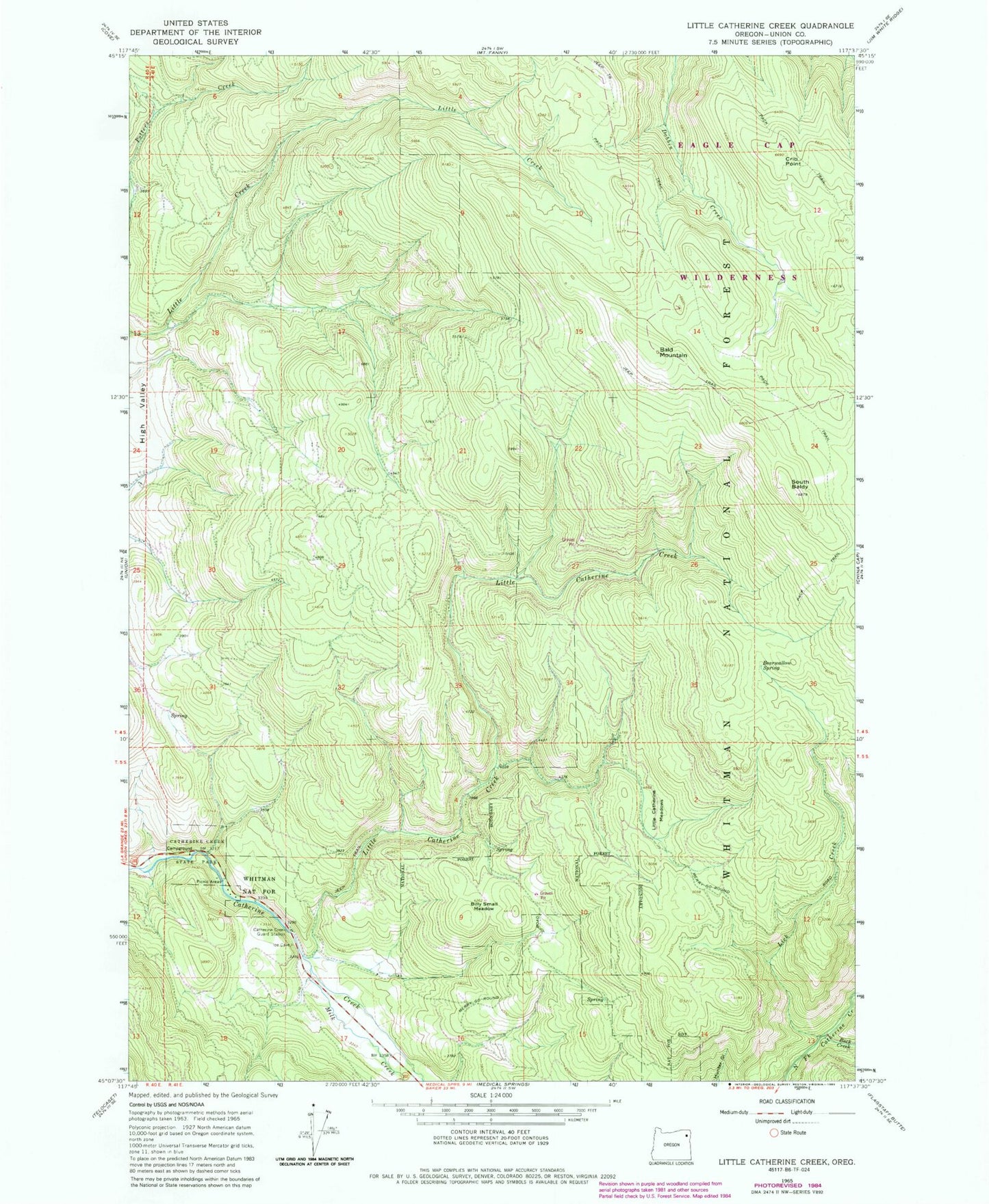
Historical USGS topographic quad map of Little Catherine Creek in the state of Oregon. Map scale may vary for some years, but is generally around 1:24,000. Print size is approximately 24" x 27"
This quadrangle is in the following counties: Union.
The map contains contour lines, roads, rivers, towns, and lakes. Printed on high-quality waterproof paper with UV fade-resistant inks, and shipped rolled.
Contains the following named places: Ames Creek, Ames Spring, Bald Mountain, Bearwallow Spring, Benson, Billy Small Meadow, Buck Creek, Catherine Creek Guard Station, Catherine Creek State Park, Crib Point, High Valley, Lick Creek, Little Catherine Creek, Little Catherine Meadows, McDow Creek, Milk Creek, South Baldy, Union Division, ZIP Code: 97883