MyTopo
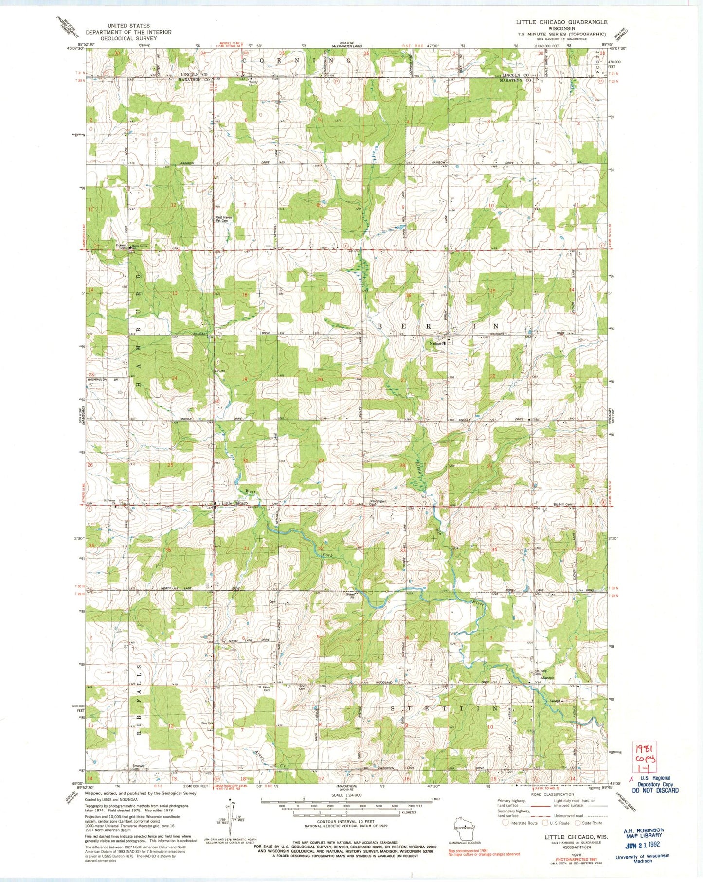
Classic USGS Little Chicago Wisconsin 7.5'x7.5' Topo Map
Couldn't load pickup availability
Historical USGS topographic quad map of Little Chicago in the state of Wisconsin. Map scale may vary for some years, but is generally around 1:24,000. Print size is approximately 24" x 27"
This quadrangle is in the following counties: Lincoln, Marathon.
The map contains contour lines, roads, rivers, towns, and lakes. Printed on high-quality waterproof paper with UV fade-resistant inks, and shipped rolled.
Contains the following named places: Big Hill Cemetery, Dreieinigkeit Church, Elk Valley Farms, Emanuel Lutheran Cemetery, Emmerich, Friedenshain Cemetery, Fromm Cemetery, Grandview School, Hamburg Volunteer Fire Department, La Follette School, Little Chicago, Madison School, Maple Grove Charter School, Misty Hollow Farms, Mitchell School, Naugart, Naugart School, Rest Haven Pet Cemetery, Rib View Cemetery, Saint John Lutheran Cemetery, Saint Peters Church, Salzman Farm, Silver Creek, Streis Farm, Stubbe Hill School, Teske Farms, Town of Berlin, Trinity Church, Washington Heights School, West Fork Little Rib River, Woodland Dale School, Zernicke Farms, Zion Cemetery, Zion Church


