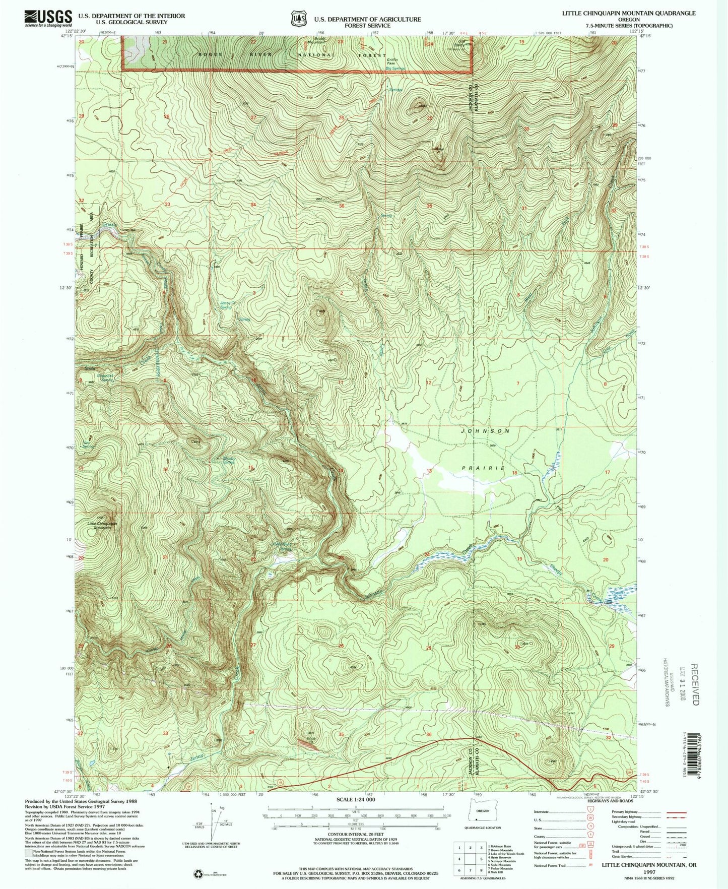
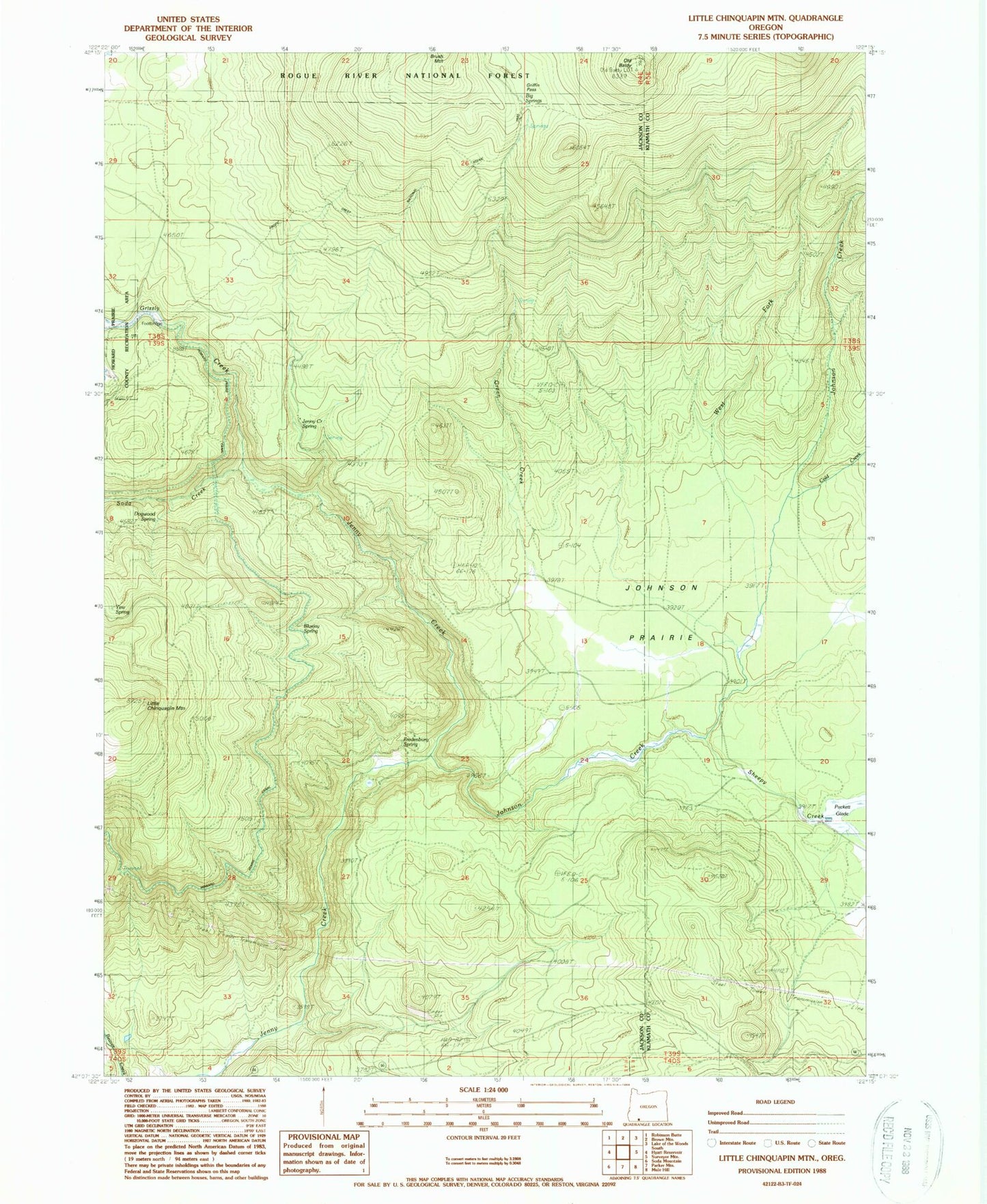
MyTopo
Classic USGS Little Chinquapin Mountain Oregon 7.5'x7.5' Topo Map
Couldn't load pickup availability
Historical USGS topographic quad map of Little Chinquapin Mountain in the state of Oregon. Map scale may vary for some years, but is generally around 1:24,000. Print size is approximately 24" x 27"
This quadrangle is in the following counties: Jackson, Klamath.
The map contains contour lines, roads, rivers, towns, and lakes. Printed on high-quality waterproof paper with UV fade-resistant inks, and shipped rolled.
Contains the following named places: Big Springs, Bluejay Creek, Bluejay Spring, Cold Creek, Dogwood Spring, Fredenburg Spring, Green Creek, Griffin Pass, Grizzly Creek, Howard Prairie Canal, Jenny Creek Spring, Johnson Creek, Johnson Prairie, Little Chinquapin Mountain, Old Baldy, Pinehurst Cemetery, Sheepy Creek, Soda Creek, West Fork Johnson Creek, Yew Spring