MyTopo
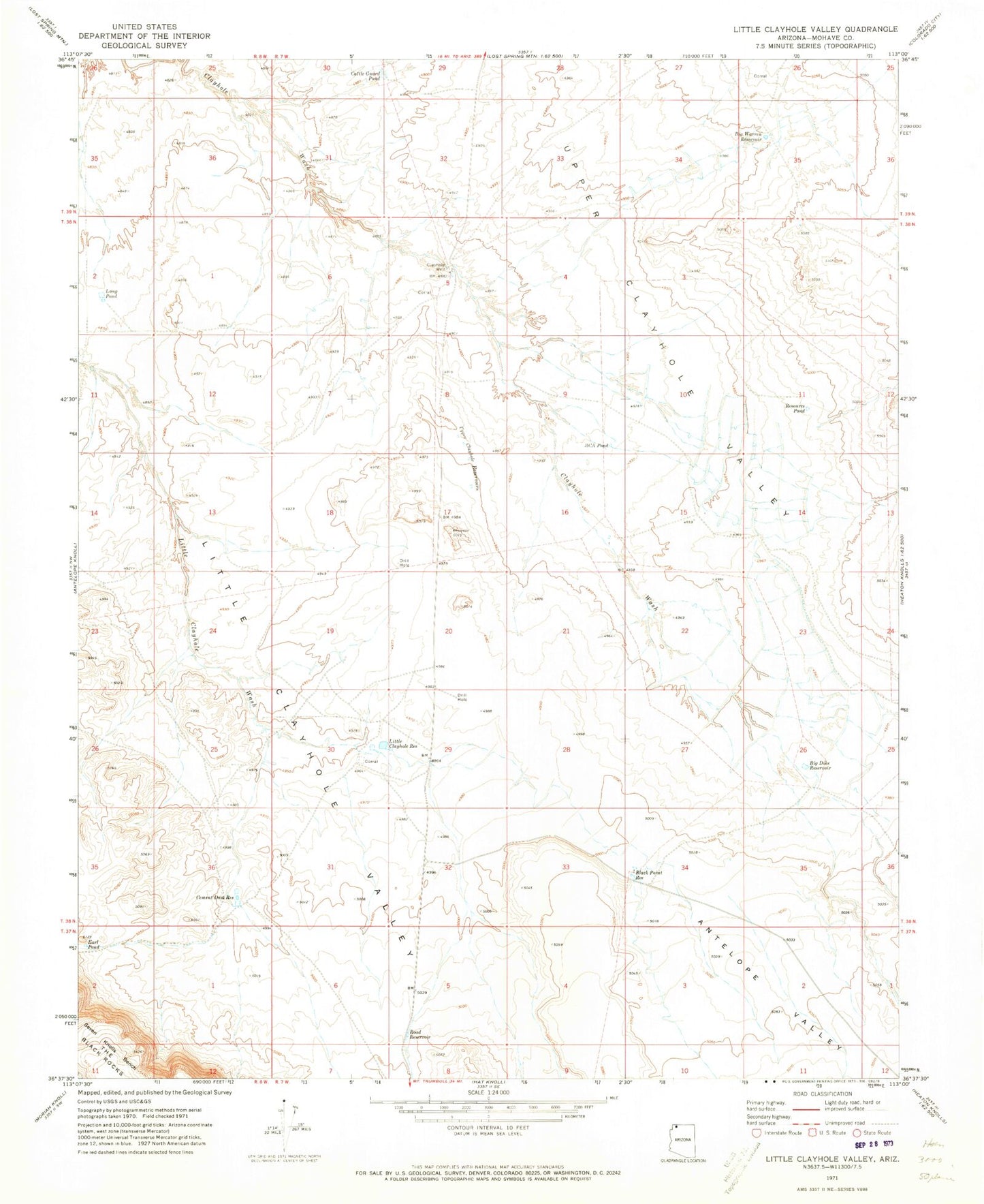
Classic USGS Little Clayhole Valley Arizona 7.5'x7.5' Topo Map
Couldn't load pickup availability
Historical USGS topographic quad map of Little Clayhole Valley in the state of Arizona. Map scale may vary for some years, but is generally around 1:24,000. Print size is approximately 24" x 27"
This quadrangle is in the following counties: Mohave.
The map contains contour lines, roads, rivers, towns, and lakes. Printed on high-quality waterproof paper with UV fade-resistant inks, and shipped rolled.
Contains the following named places: Antelope Valley, Big Dike Reservoir, Big Warren Reservoir, Black Point Reservoir, Cattle Guard Pond, Cement Dam Reservoir, Clayhole Well, Earl Pond, Lang Pond, Little Clayhole Reservoir, Little Clayhole Valley, RCA Pond, Resource Pond, Road Reservoir, Upper Clayhole Reservoirs, Upper Clayhole Valley