MyTopo
Classic USGS Little Creek Louisiana 7.5'x7.5' Topo Map
Couldn't load pickup availability
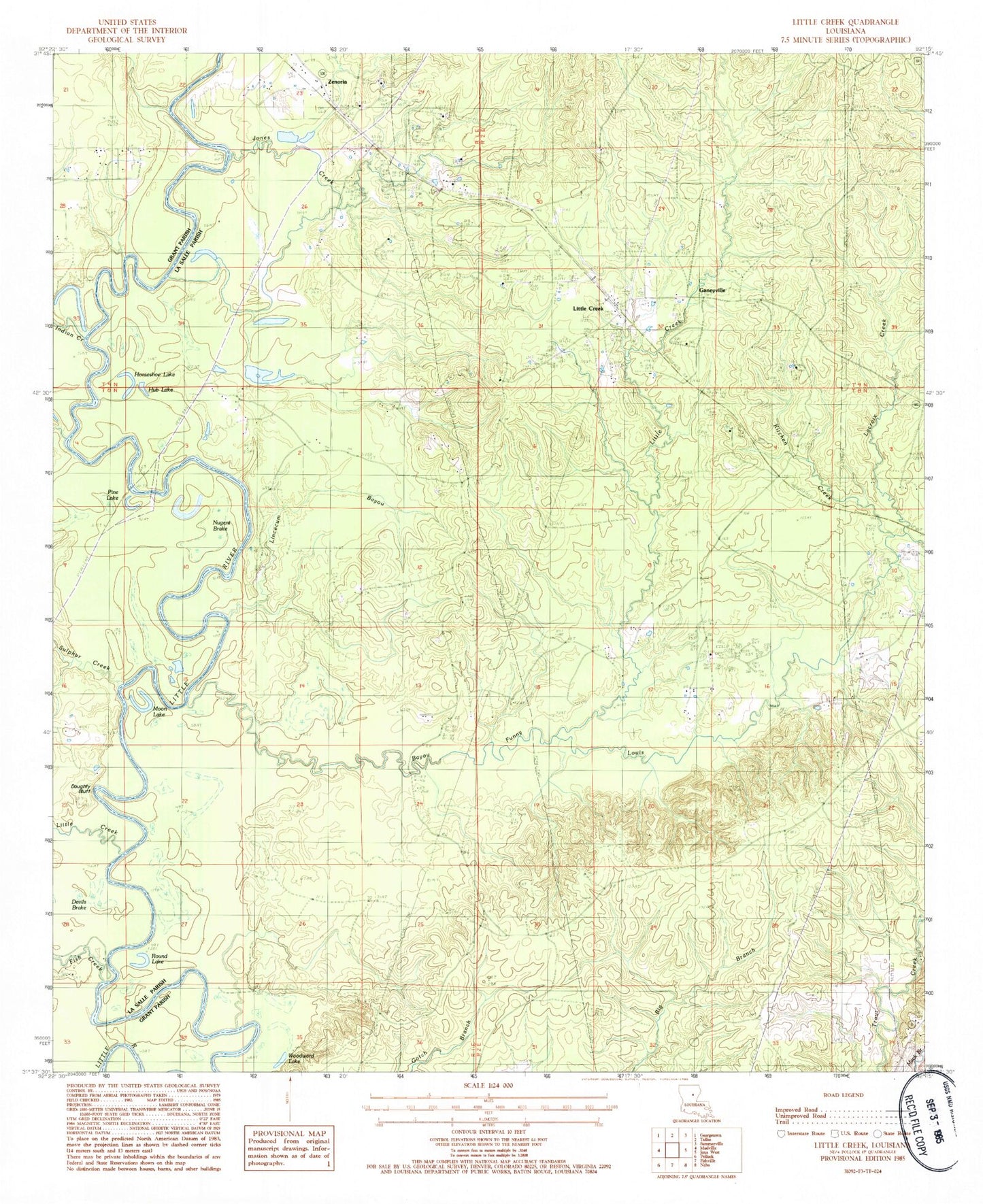
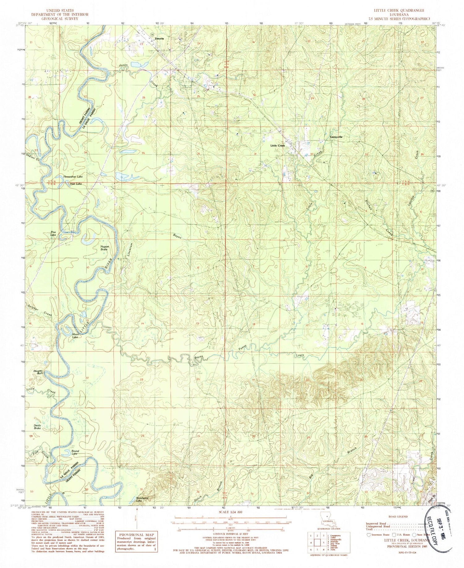
Historical USGS topographic quad map of Little Creek in the state of Louisiana. Map scale may vary for some years, but is generally around 1:24,000. Print size is approximately 24" x 27"
This quadrangle is in the following counties: Grant, LaSalle.
The map contains contour lines, roads, rivers, towns, and lakes. Printed on high-quality waterproof paper with UV fade-resistant inks, and shipped rolled.
Contains the following named places: Bay Spring Lookout Tower, Bayou Funny Louis, Big Bend, Big Bend School, Boston Fool River, Campbells Ferry, Chalk Hill Cemetery, Dayton Cemetery, Doughty Bluff, Ebenezer Baptist Church, Ebenezer School, Fish Creek, Ganeyville, Gilmore Church, Hawthorne Cemetery, Hester, Horseshoe Lake, Hub Lake, Indian Creek, Jones Creek, Kitchen Creek, Lacroix Creek, Lincecum Bayou, Little Bayou Oil Field, Little Creek, Little Creek - Searcy Volunteer Fire Department, Little Creek Oil Field, Moon Lake, North Searcy Gas Field, Nugent Brake, Pine Bluff Cemetery, Pine Lake, Rambeaus Ferry, Round Lake, Sulphur Creek, Thayer School, West Searcy Oil Field, Woodward Lake, Zenoria, Zenoria Baptist Church, ZIP Code: 71371


