MyTopo
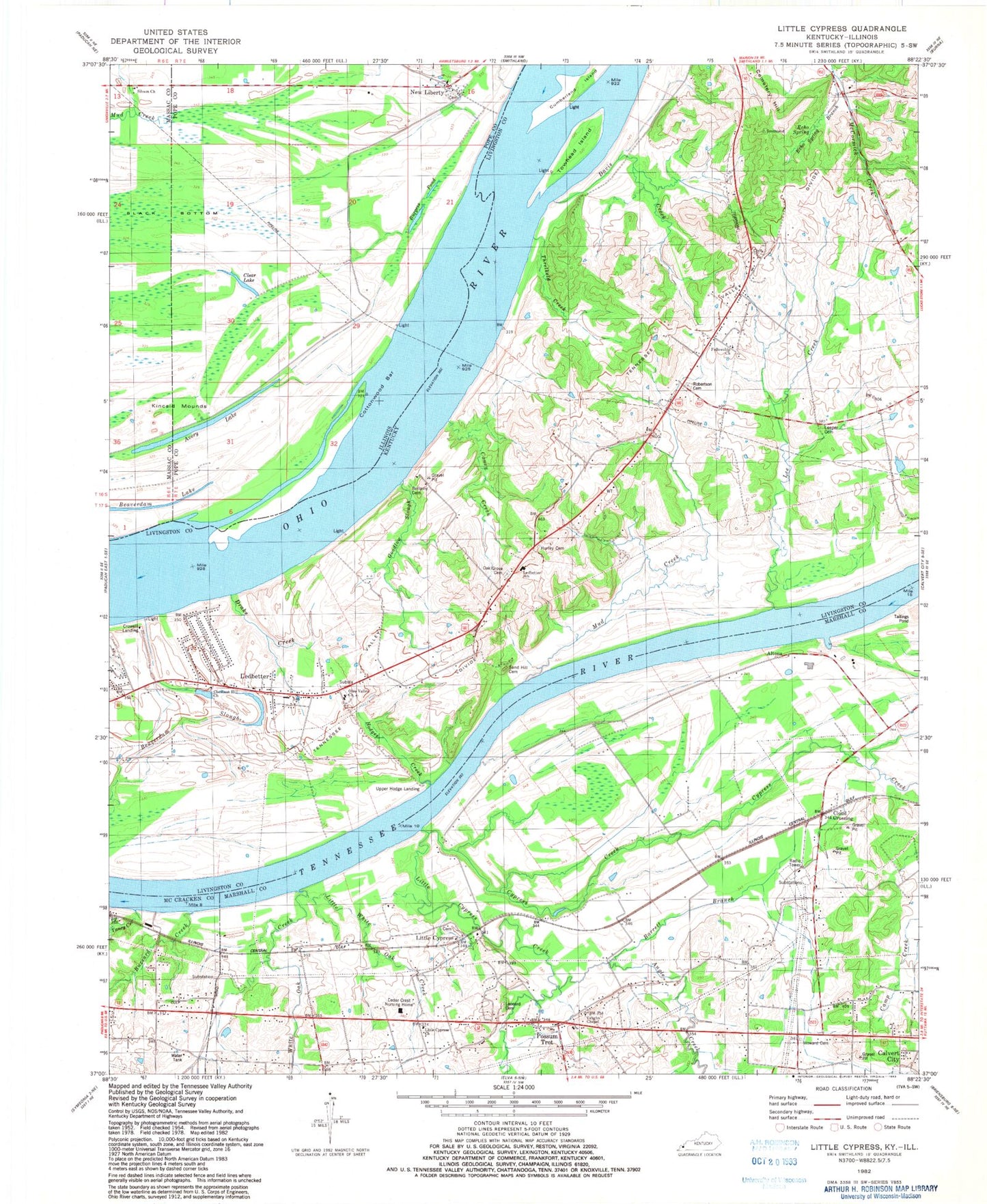
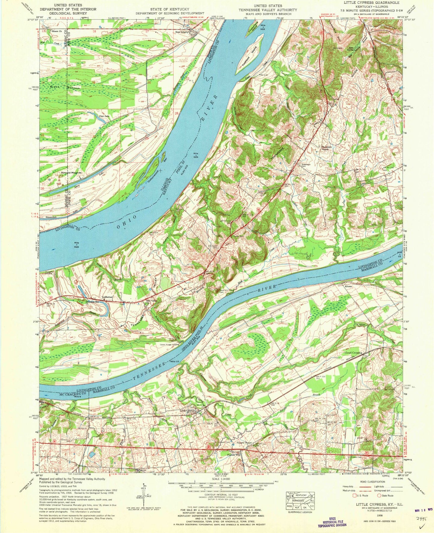
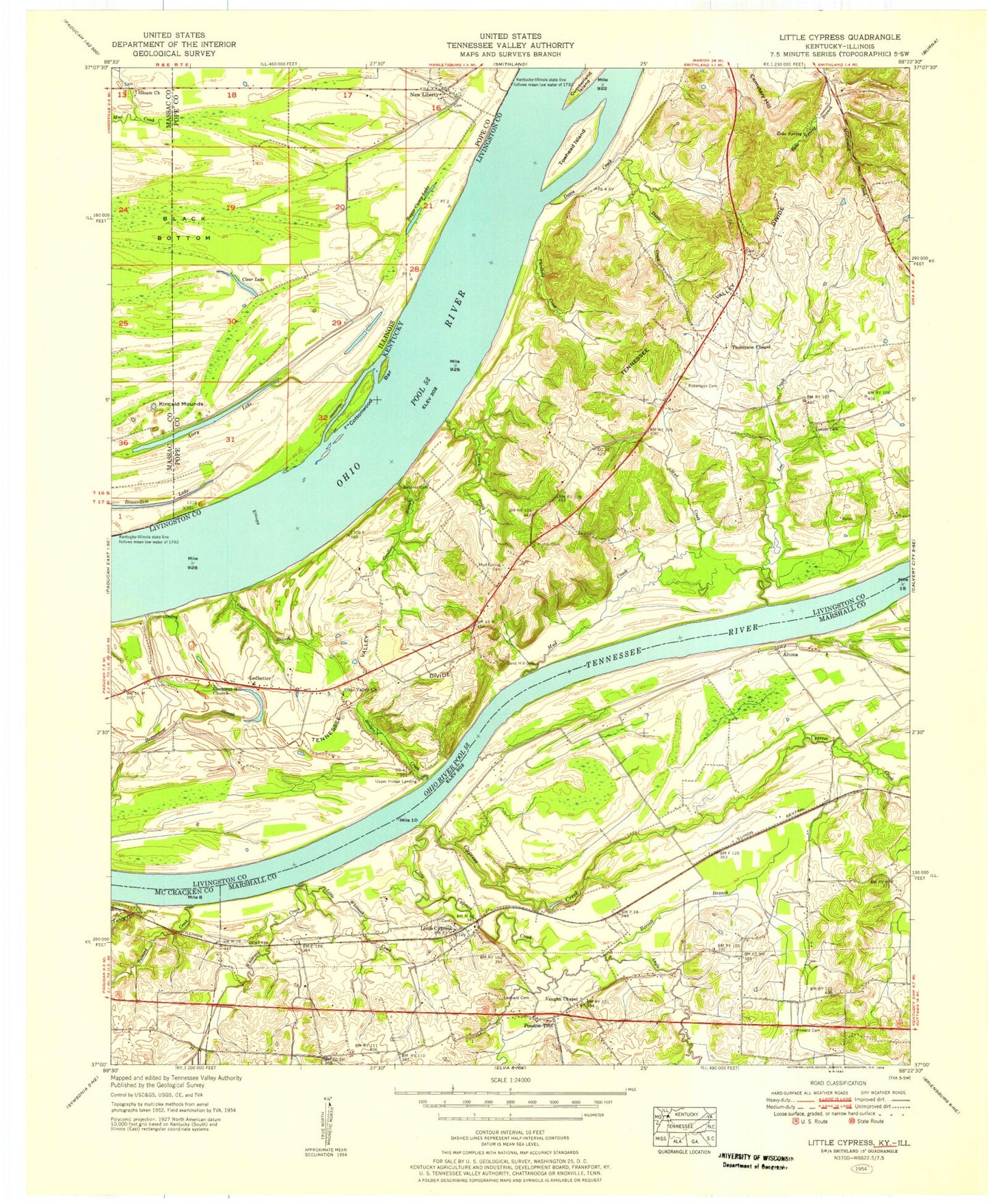
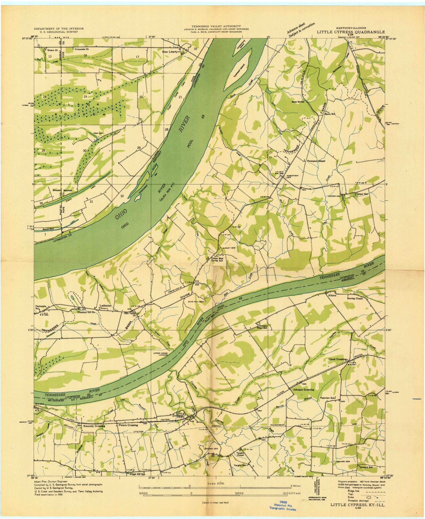
Classic USGS Little Cypress Kentucky 7.5'x7.5' Topo Map
Couldn't load pickup availability
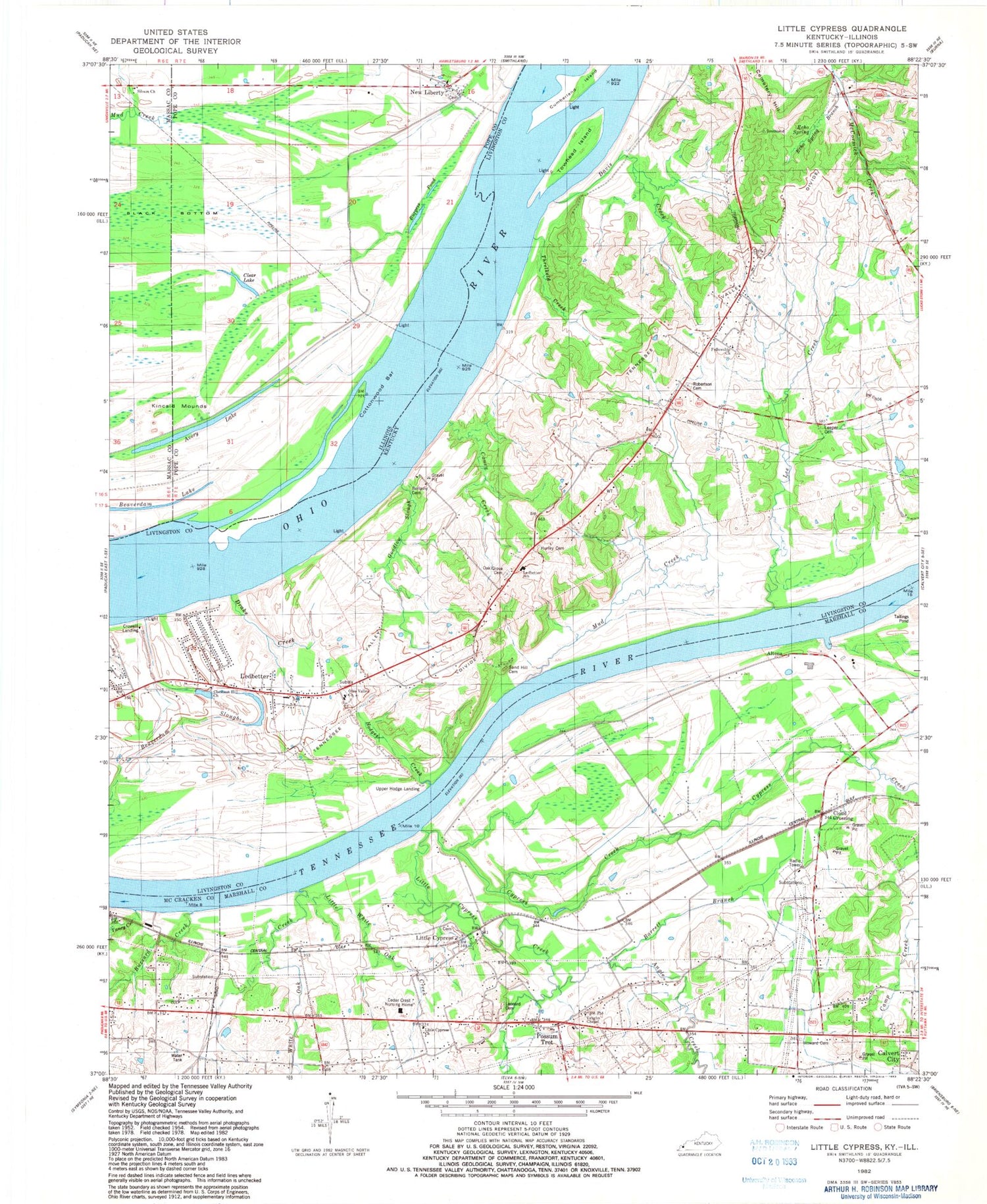
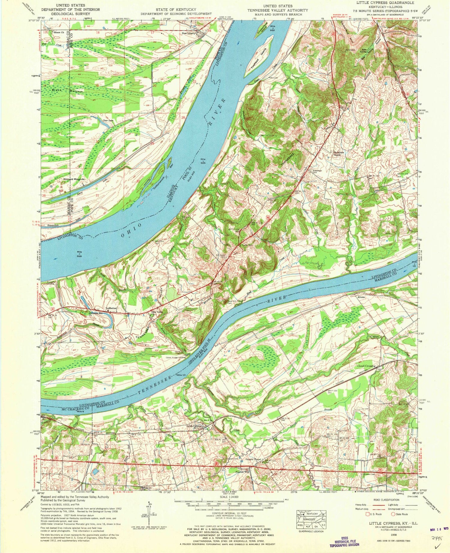
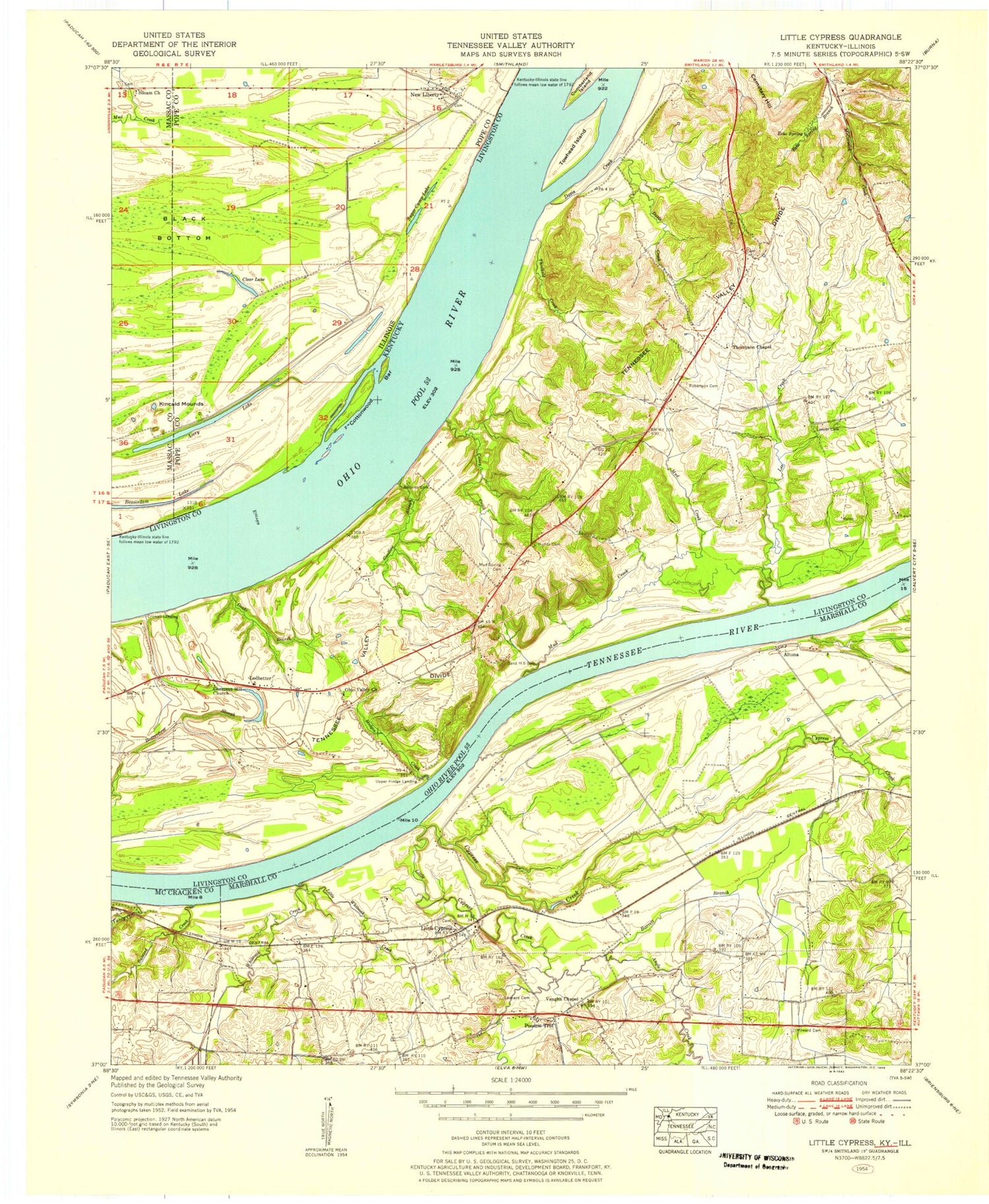
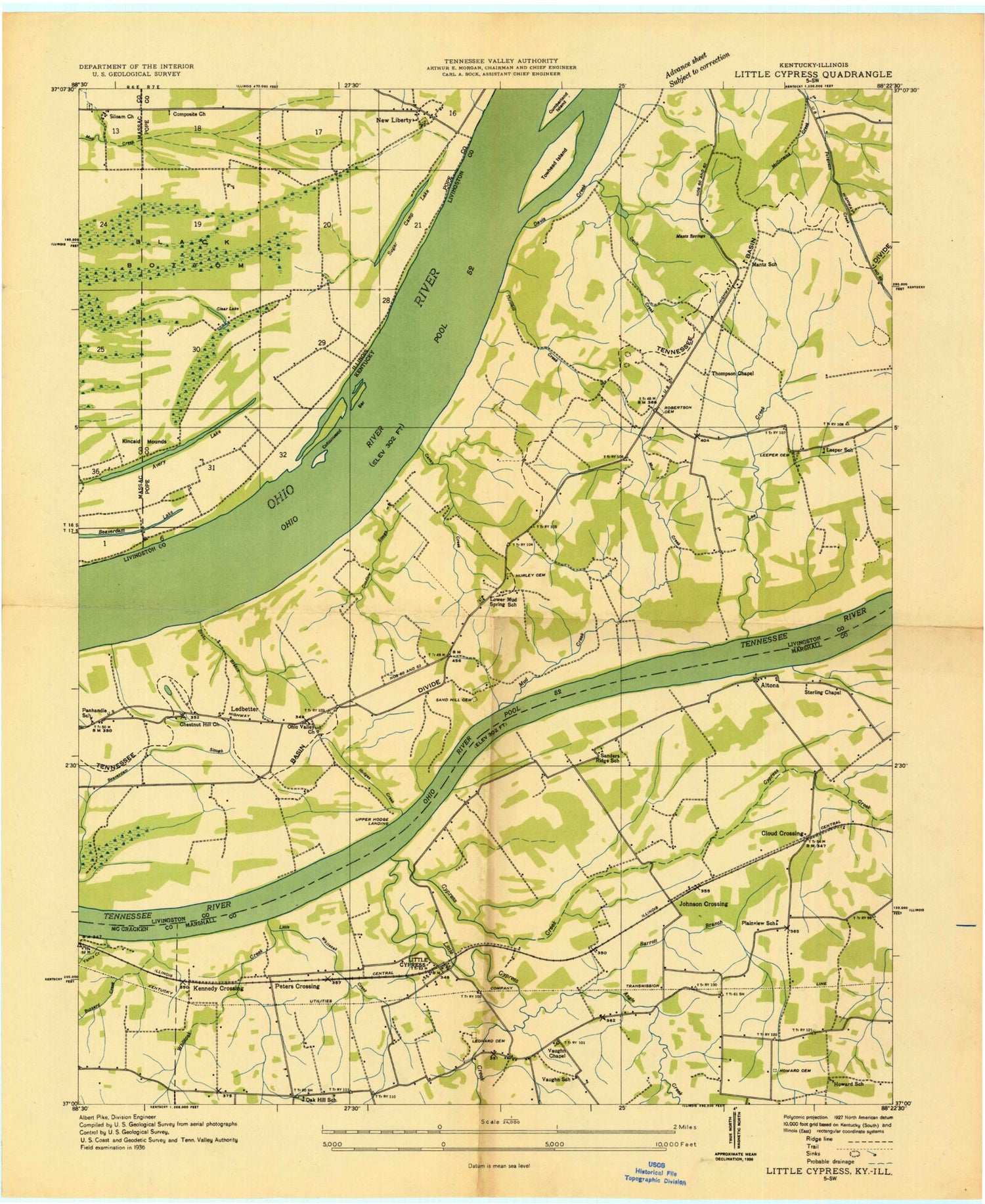
Historical USGS topographic quad map of Little Cypress in the states of Kentucky, Illinois. Map scale may vary for some years, but is generally around 1:24,000. Print size is approximately 24" x 27"
This quadrangle is in the following counties: Livingston, Marshall, Massac, McCracken, Pope.
The map contains contour lines, roads, rivers, towns, and lakes. Printed on high-quality waterproof paper with UV fade-resistant inks, and shipped rolled.
Contains the following named places: Altona, Angle Creek, Avery Lake, Barrett Branch, Beaverdam Lake, Beaverdam Slough, Bellamy Cemetery, Burgess Pond, Buzzard Branch, Buzzard Creek, Caney Creek, Chestnut Hill Church, Clear Lake, Cloud Crossing, Cottonwood Bar, Crowell Landing, Cypress Creek, Davis Creek, Drake Branch, Dupriest - Leeper Cemetery, Echo Spring, Echo Spring Branch, Fellowship Church, Goodlow Slough, Hodges Creek, Howards Grove Cemetery, Hurley Cemetery, Kincaid Mounds, Ledbetter, Ledbetter Census Designated Place, Ledbetter Elementary School, Ledbetter Fire District, Ledbetter Fire District Station 2, Ledbetter Post Office, Lee Creek, Leonard Cemetery, Little Cypress, Little Cypress Cemetery, Little Cypress Creek, Little White Oak Creek, Mud Creek, New Liberty, New Liberty Cemetery, Oak Grove Cemetery, Ohio Valley Baptist Church, Possum Trot, Possum Trot - Sharpe Fire Department Station, Robertson Cemetery, Sand Hill Cemetery, Saunders Ridge, Siloam Church, Thompson Chapel, Threlkeld Creek, Towhead Island, Upper Hodge Landing, Vaughn Chapel, White Oak Creek, Yancy Creek, ZIP Codes: 42029, 42058
