MyTopo
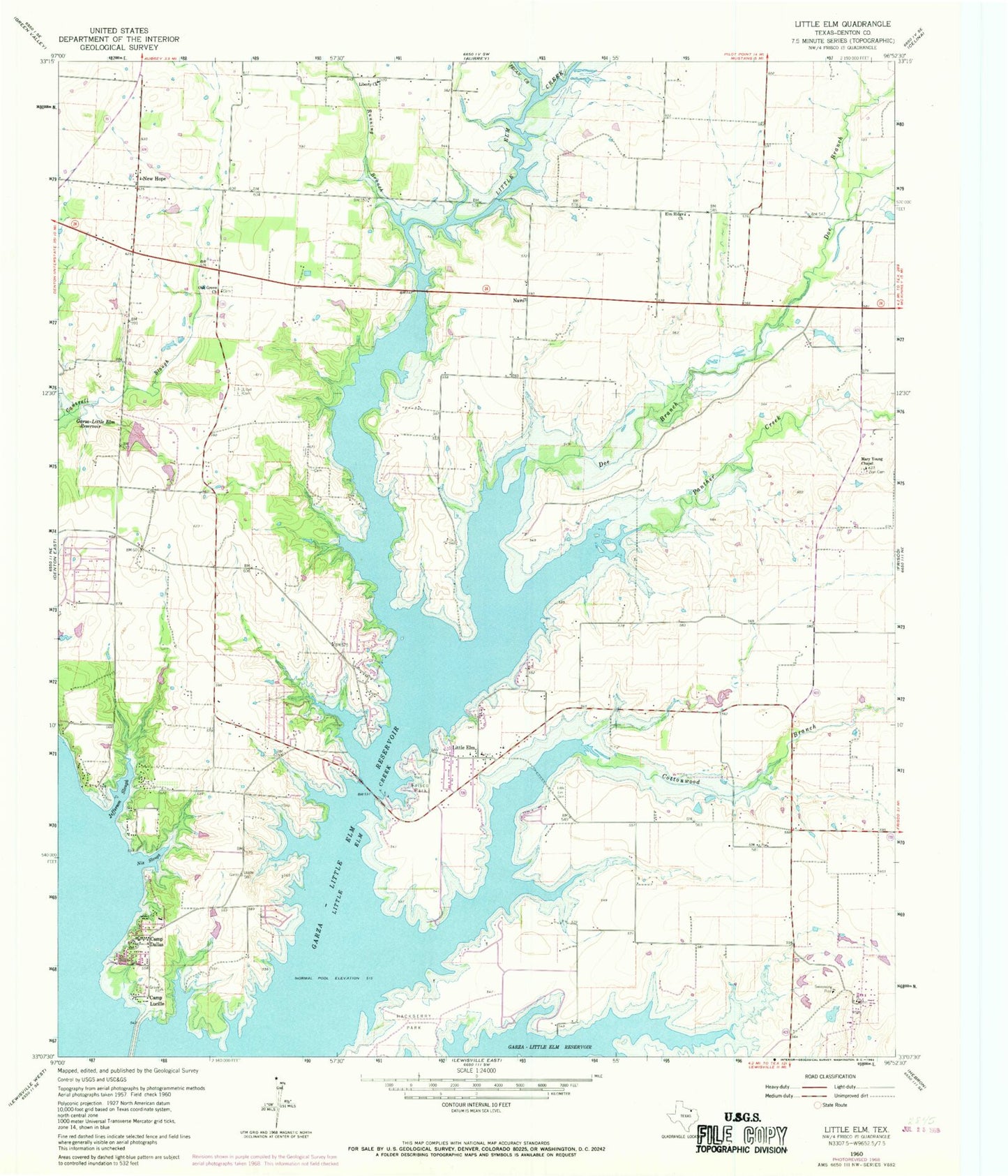
Classic USGS Little Elm Texas 7.5'x7.5' Topo Map
Couldn't load pickup availability
Historical USGS topographic quad map of Little Elm in the state of Texas. Typical map scale is 1:24,000, but may vary for certain years, if available. Print size: 24" x 27"
This quadrangle is in the following counties: Denton.
The map contains contour lines, roads, rivers, towns, and lakes. Printed on high-quality waterproof paper with UV fade-resistant inks, and shipped rolled.
Contains the following named places: Camp Dallas, Camp Lucille, Cottonwood Branch, Elm Ridge Church, Little Elm Park, Jefferson Slough, Liberty Church, Little Elm, Little Elm Cemetery, Lloyd Cemetery, Mary Young Chapel, Nix Slough, Oak Grove Church, Panther Creek, Zion Cemetery, Doe Branch, Hackberry Park, Little Elm Creek, Pecan Creek, Running Branch, Navo, Cottonpatch Aerodrome, Spanish Oaks Airport, New Hope (historical), Hackberry, Lakewood Village, Lincoln Park, Oak Point, Phillips Dam, Phillips Lake, Tannery Lake Dam, Tannery Lake, Phillips North Lake Dam, Phillips North Lake, John House Springs, Little Elm Intermediate School, First Pentecostal Church of Frisco, Marion Field, Doe Branch Park (historical), Cottonwood Park (historical), Lake Lewisville Recreation Area, Narrow Lake Park, Cottonwood Park, City of Little Elm, City of Oak Point, City of Lakewood Village, Town of Cross Roads, Town of Hackberry, Town of Lincoln Park (historical), City of Hackberry Wastewater Treatment Plant, Town of Little Elm Water Treatment Facility, Little Elm Central Fire Station, Aubrey Fire Department Station 2, Oak Point Department of Public Safety Fire Services, Paloma Creek Census Designated Place, Paloma Creek South Census Designated Place, Providence Census Designated Place (historical), Savannah Census Designated Place, Providence, Aubrey Area Ambulance Station 2, Town of Providence Village, Little Elm Post Office, Little Elm Police Department, Denton County Constable's Office Precinct 5, Oak Point Police Department, Cross Roads Town Hall, Frisco Fire Department Station 7


